Polar Maps
Not strictly Worlda but I thought @hadaril you might want to add these to the wiki somewhere as a resource:


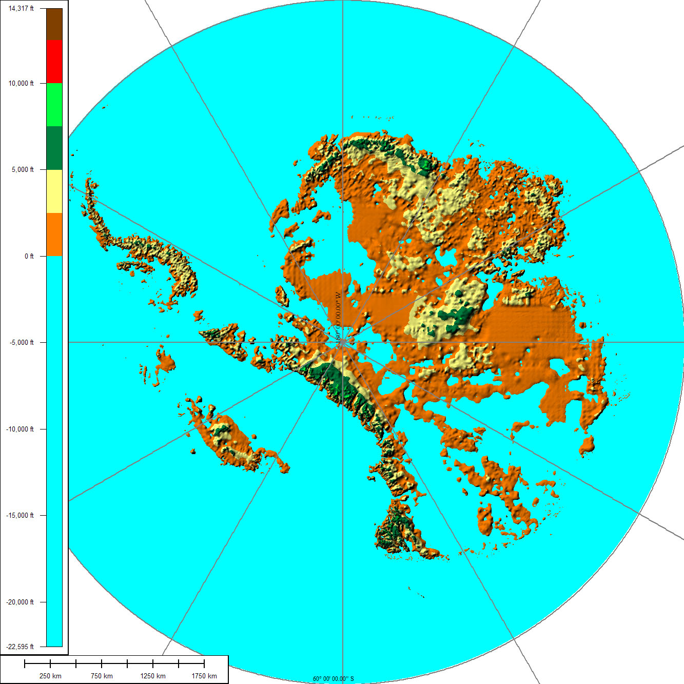
These maps show everything either north or south of the 60th parallels using an Azimuthal projection.
These are scaled to match a regular Worlda map. That is to say the distance across this map (200 pixels) is the same distance as 200 pixels along the equator.
Edit: Fixed a single pixel missing in the arctic maps.
Last edited: