Q-Bam Historical Map Thread

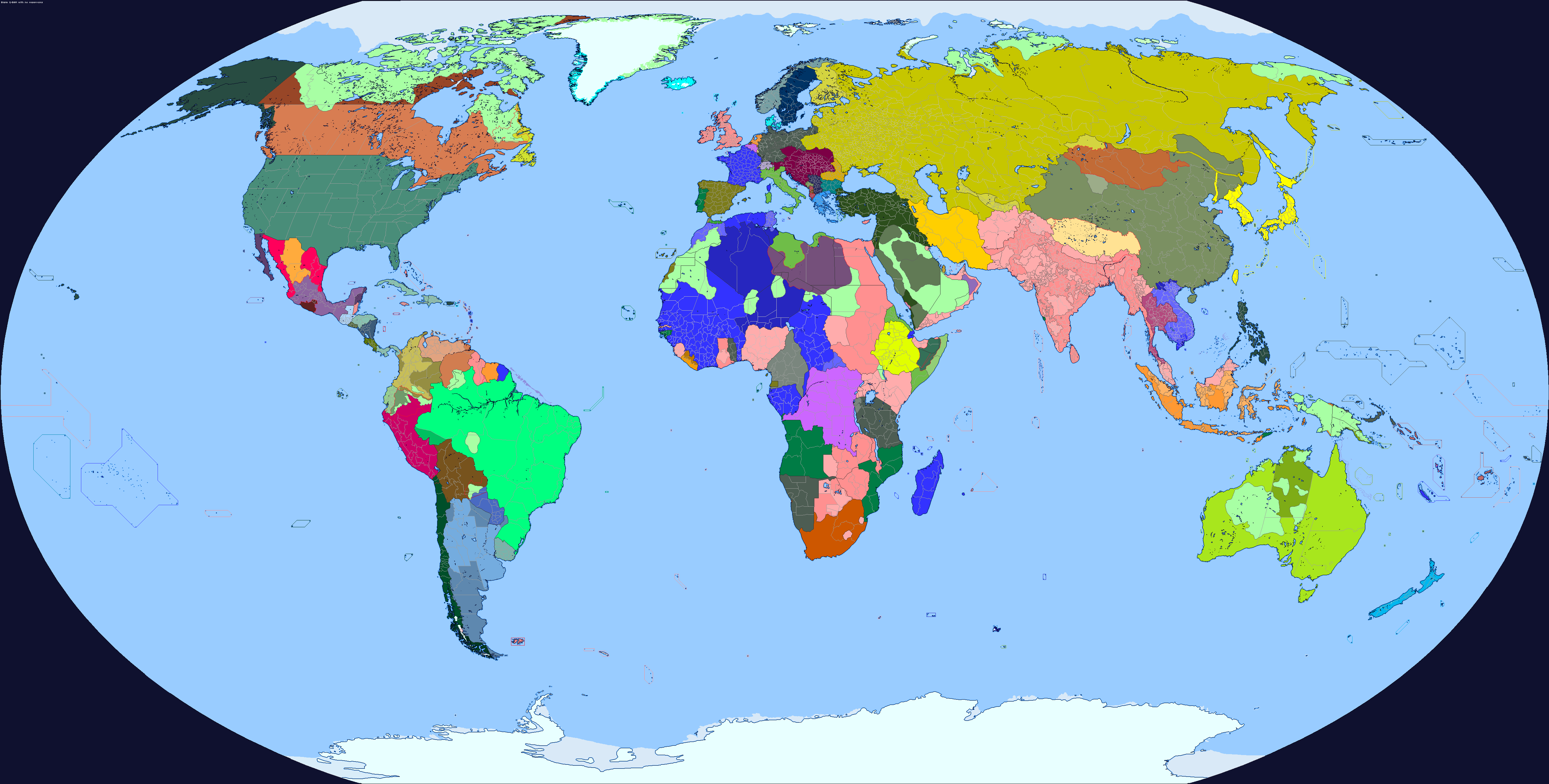
I think that’s actually based on one of mine from a long time ago (with some edits, some colors and labels are different than what I made. The original is on my deviantart: https://www.deviantart.com/crazy-boris/art/800-world-map-738565862),

Honestly it’s not that good. I just sort of eyeballed a lot of the borders without really thinking, and I have no idea why Tibet is so huge and is up into Xinjiang, and I know for sure a bunch of countries are probably missing, not least in Mesoamerica where I got lazy with “Maya city states”

It’s honestly a little embarrassing, if someone was gonna steal and edit one of my maps, why couldn’t it be one of my good ones?

I think the edits were done because this Map is now supposed to be for 820 while yours was 800
 
unknown.png


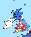
1444 with (hopefully) fixed English counties (the war of the roses patch has disappeared so I had to just sort of try to figure them out with the few available maps)
Is this the War of the Roses Patch you were looking for?
 

Attachments

  • Q-BAM War of the Roses (date unspecified).png
    Q-BAM War of the Roses (date unspecified).png
    3.4 KB · Views: 544
I was about to cry foul and protest that Geraldo Sem Pavor had conquered Badajoz for Portugal, but then I noticed the date. Oh well. I will be patient and wait for the 1169 map to whine and whinge like a brat.
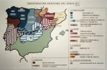
I've been trying to find a map of the territories Geraldo managed to snatch, but I've never been able to find actually good maps/references for such. A shame tbh, It's something very obscure to me..
 
oh, the wales will be wrong i think, because the base map i based mine off was just colouring in the counties as they were after henry the 8ths consolodation of the welsh march into shires
 
More 1756 previews, middle-Viceroyalty of Perú and neighboring areas.
qbam 1756.png


I still have to map Western Africa, parts of the Amazon, Australia and the HRE. I hope I can finish all of that soon.
 
Last edited:
I've been trying to find a map of the territories Geraldo managed to snatch, but I've never been able to find actually good maps/references for such. A shame tbh, It's something very obscure to me..

Well, the maps I have are inconsistent and unreliable. One is of crappy quality. And the other I had to clip and resize in order for it to be uploaded here. Be warned.


da7ad7cc1baea15b4bb09c1b389fe3f2.png
images.jpg
RM2487_396.jpg
kor4tMYy-6kKcsf-atsa59oZ6IJItW0KiNivumzQjfw - Cópia - Cópia.png
 

Attachments

  • RM2487_396.jpg
    RM2487_396.jpg
    159.4 KB · Views: 1,499
Southern Cone:
1627330549228.png


Disclaimer: as with North America, I'm not mapping every single tribe (that would be impossible), jus showing approximate locations of the important or dominant tribes in the area.

I have finished the HRE, and America is 90% finished.
Now looking to complete Australia (there's a f*cking lot of native groups) and some parts of West Africa.
 
Last edited:
Southern Cone:
View attachment 668914

Disclaimer: as with North America, I'm not mapping every single tribe (that would be impossible), jus showing approximate locations of the important or dominant tribes in the area.

I have finished the HRE, and America is 90% finished.
Now looking to complete Australia (there's a f*cking lot of native groups) and some parts of West Africa.
that patagonia looks awful, not just simplified.
 
1627572751162.png

Here's some early Ottoman Patches, the names depict the beginning of that sultan's reign.
I am not confident about the Interregnum, but otherwise this should be pretty accurate.
 
It is time for my Dumb Question Du Jour!

Is that the Samanid Empire? Is that darker shade of purple the core of the Samanid Empire?
I am so happy to see that empire at last.
Yeah, I wanted to make a map for the 10th century since there’s nothing, despite the fact that a plethora of important, region altering events happened during that time. So we often never see the Samanids, pre crusader post 876 Europe, and the Toltecs
 
deoq98h-9710192a-99d2-4abc-847a-aad5e0eab24e.png

https://sta.sh/2ikg96kqks8
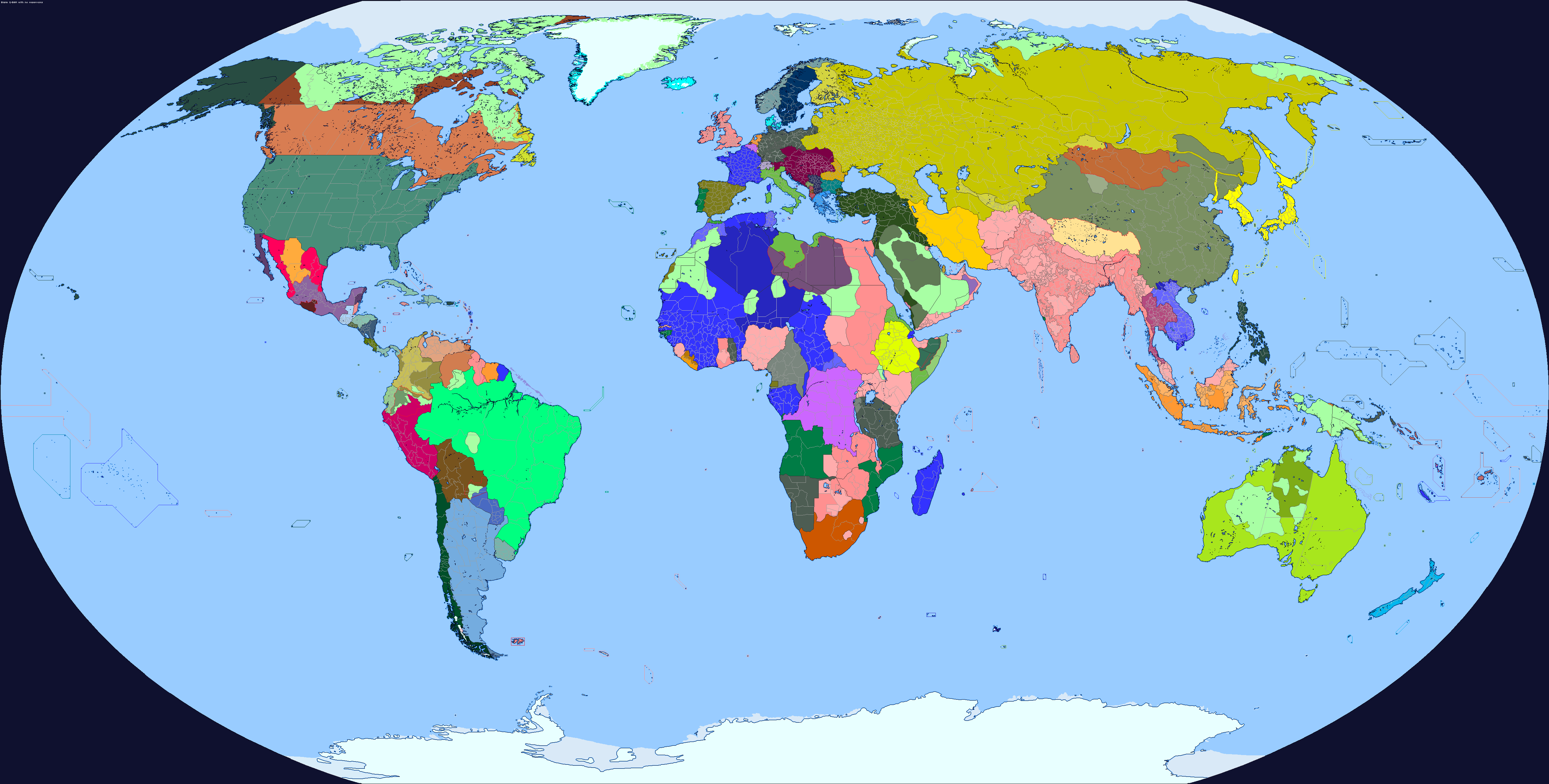
Someone on deviantart wanted me to remake my old 1914 map, but with Drex's coastal outline, so here is the map and the various alts that I made for it, including the non-coastal-more-translatable alt
That's pretty good!
However, I feel like China shouldn't look like that. For instance, this is how the Tibet area looked in 1914:
1628604882057.png

So...China as a whole shouldn't be that simplified.
 
That's pretty good!
However, I feel like China shouldn't look like that. For instance, this is how the Tibet area looked in 1914:
View attachment 672109
So...China as a whole shouldn't be that simplified.
Well the only one I found that was for powo, but I assumed it was just a subdivision. I couldn’t find anything for warlords such as Yin Chengheng, and I don’t think the warlord era started as of yet for the rest of China
 
Top