You are using an out of date browser. It may not display this or other websites correctly.
You should upgrade or use an alternative browser.
You should upgrade or use an alternative browser.
Q-Bam Historical Map Thread
- Thread starter The Alternative
- Start date
-
- Tags
- historical maps q-bam


July 4, 1776 by Sharklord1 on DeviantArt
Uploading a link cuz AH says its too large again.
Also, @DaniCBP, I kinda wanna add ur North America patches to it, is the most recent post of it complete?
Provinces and Lands of Sweden. Note that the land corresponding to the modern Finnish regions of Ostrobothnia, Central Ostrobothnia and South Ostrobothnia were part of the Swedish province of Ostrobothnia but unlike the rest of the province, part of the Österland land (in any case the border there is marked different). Ingria, Livonia and Estonia were dominions and not provinces proper but have been added nevertheless.
A way to upload the full map here is to open the DA map in another tab and copy the link to that file.Uploading a link cuz AH says its too large again.
Thank youA way to upload the full map here is to open the DA map in another tab and copy the link to that file.
Are you 100% sure of those English subdivisions?
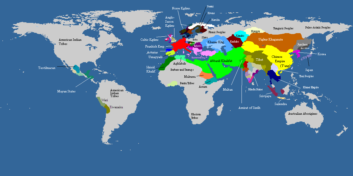
November 10, 1444: Battle of Varna
Where is County Durham, or Hexhamshire (the latter was still a county until 1572)?
Why is there a random South Yorkshire? Is that Hallamshire? I have never seen a map that gives the borders of that county.
Why is all of Cambridgeshire coloured in that way? Palatinate status was for Ely only.
lets fucking gooooooooo
November 10, 1444: Battle of Varna
The Wikipedia page for Hallamshire shows two rough maps of what would've been the borders of the countyAre you 100% sure of those English subdivisions?
Where is County Durham, or Hexhamshire (the latter was still a county until 1572)?
Why is there a random South Yorkshire? Is that Hallamshire? I have never seen a map that gives the borders of that county.
Why is all of Cambridgeshire coloured in that way? Palatinate status was for Ely only.
there's also my war of the roses patch, whixh is just the historical counties as they were at the the time coloured in lanc, york, and neutral
Crazy Boris
Banned
Didn’t know about those, truthfully I am not very familiar with old English counties. I’ll get around to fixing it when I have some more free time.
Did this map go anywhere?Can you include mine or are you waiting until it is more finished? Here's what I have so far (1453)
View attachment 615643
It is for the time it was dated,I'm having some dificulties with Russia's subdivisions in 1756, do anyone know if this map is accurate/correct?

use https://en.wikipedia.org/wiki/List_of_governorates_of_the_Russian_Empire
Love the NA map! do you have any labels for which tribes are which? (or atleast the bigger ones since california looks like a spilled bag of skittles)Another preview (1756 North America):
View attachment 662378
Edit:
Here's Europe, I still have to fix some things but it's nearly finished.
View attachment 662413
The full, finished map will have 2 versions, one without labels and one with, although I won't label all tribes, just the important/bigger ones. The same for South America (as I'm still finishing the Amazon).Love the NA map! do you have any labels for which tribes are which? (or atleast the bigger ones since california looks like a spilled bag of skittles)
updated historical map compilation doc to fit new updates in here since april 11. see you in 3 months lol
https://docs.google.com/document/d/14LEJv7zYhiuviBklCwkqw7f8ugOy3eH-PXZ-7rN0jRo/edit
https://docs.google.com/document/d/14LEJv7zYhiuviBklCwkqw7f8ugOy3eH-PXZ-7rN0jRo/edit
Crazy Boris
Banned
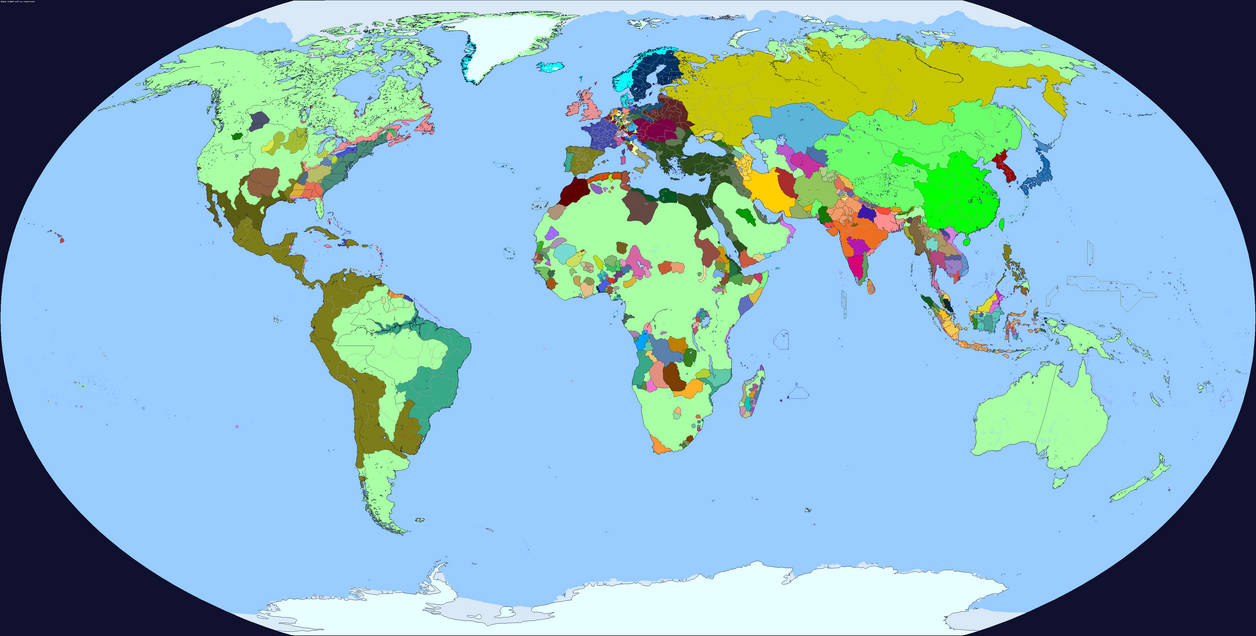
I think that’s actually based on one of mine from a long time ago (with some edits, some colors and labels are different than what I made. The original is on my deviantart: https://www.deviantart.com/crazy-boris/art/800-world-map-738565862),How accurate is this one
Honestly it’s not that good. I just sort of eyeballed a lot of the borders without really thinking, and I have no idea why Tibet is so huge and is up into Xinjiang, and I know for sure a bunch of countries are probably missing, not least in Mesoamerica where I got lazy with “Maya city states”
It’s honestly a little embarrassing, if someone was gonna steal and edit one of my maps, why couldn’t it be one of my good ones?
Tibetan Xinjiang is actually historically accurate but yes it's not the best map everI think that’s actually based on one of mine from a long time ago (with some edits, some colors and labels are different than what I made. The original is on my deviantart: https://www.deviantart.com/crazy-boris/art/800-world-map-738565862),
Honestly it’s not that good. I just sort of eyeballed a lot of the borders without really thinking, and I have no idea why Tibet is so huge and is up into Xinjiang, and I know for sure a bunch of countries are probably missing, not least in Mesoamerica where I got lazy with “Maya city states”
It’s honestly a little embarrassing, if someone was gonna steal and edit one of my maps, why couldn’t it be one of my good ones?
Crazy Boris
Banned
Didn’t know about those, truthfully I am not very familiar with old English counties. I’ll get around to fixing it when I have some more free time.

1444 with (hopefully) fixed English counties (the war of the roses patch has disappeared so I had to just sort of try to figure them out with the few available maps)
Share: