You are using an out of date browser. It may not display this or other websites correctly.
You should upgrade or use an alternative browser.
You should upgrade or use an alternative browser.
A Map Shitpost Thread
- Thread starter FancyHat
- Start date

I know you had this as a joke, but funilly enough Negroland (the link will explain it) had most of the Niger in it.North America if its borders were redrawn like Westerners try to redraw Middle Eastern borders. Directly inspired by this map.
View attachment 407042
https://en.wikipedia.org/wiki/Negroland
I spent almost two hours working on this and I don't even know what the point of it was, other than that it was supposed to be an ISOT of some sort.
EDIT: Also, just to clarify- those two little islands to the north of the Balkans are Bermuda and Nantucket. If you check the distances between them and Florida, it matches the distance on the ordinary worlda.
Pangea 2.0View attachment 408487
I spent almost two hours working on this and I don't even know what the point of it was, other than that it was supposed to be an ISOT of some sort.
EDIT: Also, just to clarify- those two little islands to the north of the Balkans are Bermuda and Nantucket. If you check the distances between them and Florida, it matches the distance on the ordinary worlda.
I spy Canadafornia!How DARE they not put in Deseret!
Crazy Boris
Banned
I actually kind of want to see this same idea applied to other parts of the world, like, what would Europe or Southeast Asia look like all straight-lined?North America if its borders were redrawn like Westerners try to redraw Middle Eastern borders. Directly inspired by this map.
View attachment 407042
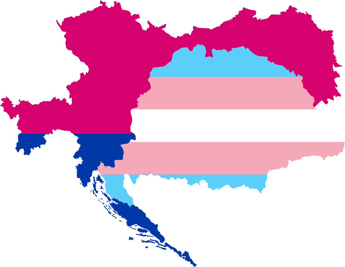
Help ;-; I'm Austria or Hungary depending on the moment, I don't wanna explode ;-;
Help ;-; I'm Austria or Hungary depending on the moment, I don't wanna explode ;-;
So... You're Habsburg Bosnia and Herzegovina?
So... You're Habsburg Bosnia and Herzegovina?
Does that mean Bosnia-Herzegovina is genderfluid ? .-.
If you take the joke far enough it's probably bigender, at least from 1908 to 1918Does that mean Bosnia-Herzegovina is genderfluid ? .-.
Bi-snia and Het-zegovinaIvo, screaming in the background as he attempts to relate bisexuality to toponymy
Map of Europe in a world were the Uralic countries decided to form their own union and unite it by glorious panhandles and also the Uralic parts of Russia decided to join.
Also, I hope this isn't too far gone for bumping. It's a fun thread.
LONG LIVE THE HOLY INVIOLABLE UGRIC EMPIRE!View attachment 417646
Map of Europe in a world were the Uralic countries decided to form their own union and unite it by glorious panhandles.
LONG LIVE THE MAP SH*TPOST THREAD!
Share: