Planned extension to Portsmouth Harbour, in the face of the growing size of Steamships, from 1861.
(Original plans to be found in the city museum.)

(Original plans to be found in the city museum.)
Planned extension to Portsmouth Harbour, in the face of the growing size of Steamships, from 1861.
(Original plans to be found in the city museum.)
View attachment 831254
In Coventry the blitz was used as the excuse to built the pre-war planned Precinct despite that the area marked for it was not as bombed as much as the Council would have you believe.I still believe that town planners were more destructive than the Luftwaffe.
Much like America Britain demolish swaths of their cities to make way for new developments, motorways, and so forth.In Coventry the blitz was used as the excuse to built the pre-war planned Precinct despite that the area marked for it was not as bombed as much as the Council would have you believe.

The Leicester plan looks quite old. It misses St Margaret’s Way (the A6) which opened in the late ‘70s (78?) but was planned much earlier (to link the the large council estates to the north of the city and provide a better through route for the A6 out of Leicester). It also seems to build around the Clock Tower - in particular where the Haymarket shopping centre was built (opening in ‘73). It has the Leicester inner ring, including the Southgate’s Underpass (opened in ‘68). I’d say this is probably am early part of the 60’s plans by Konrad Smigielski. He had very ambitious plans (and mucho mucho lots of concrete) including monorail, pedestrian ways etc.Leicester:
Seemingly a load of pedways...
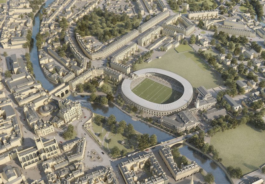
As a Bath supporter.....yes please. But I will miss The Wreck it's a dump, but it's our dump.Now quite an unbuilt as a 'should be built' in Britain.
https://www.dezeen.com/2023/08/03/c...FLciz0MIhWD8NjG0Cp23hDq2aGJ1ndA_QGP4ZbESENS2U
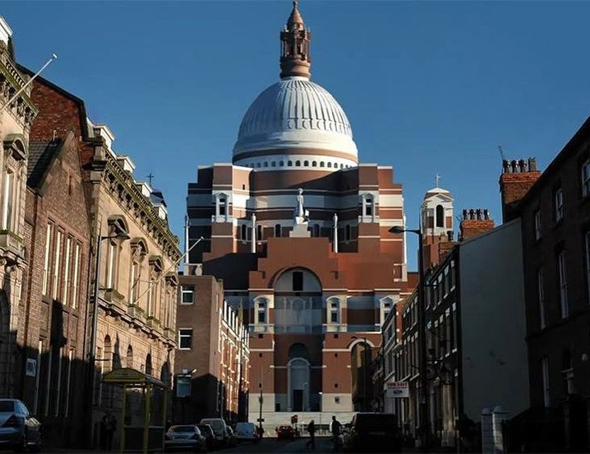
Bit different to Paddy's Wigwam isn't it?
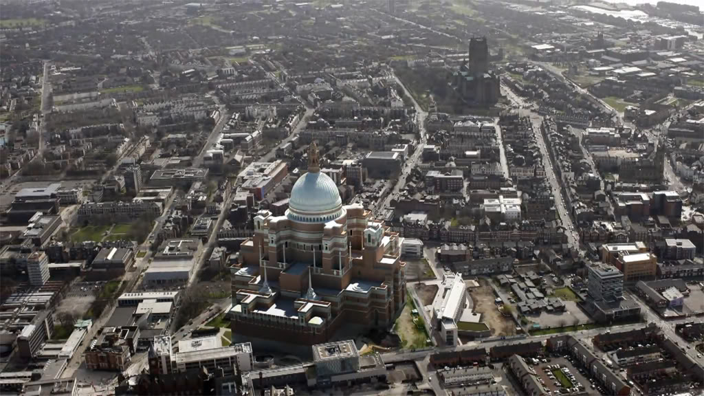
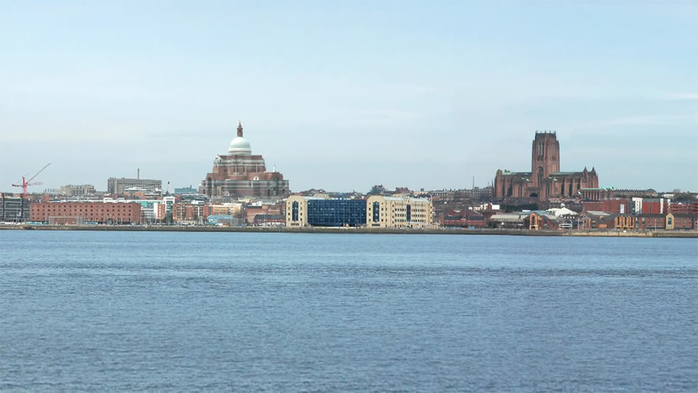
The main thing I noticed is how incredibly flat Liverpool is. All very low rise.
There's not many high rise buildings along the waterfront, they're mostly around the city centre just to be left of where that photo shows. You can't see the Graces in that photo either, because they block the view of the cathedrals from further up the river. I'd say the photo is probably taken somewhere around Port Sunlight or Eastham.The main thing I noticed is how incredibly flat Liverpool is. All very low rise.