View attachment 869221
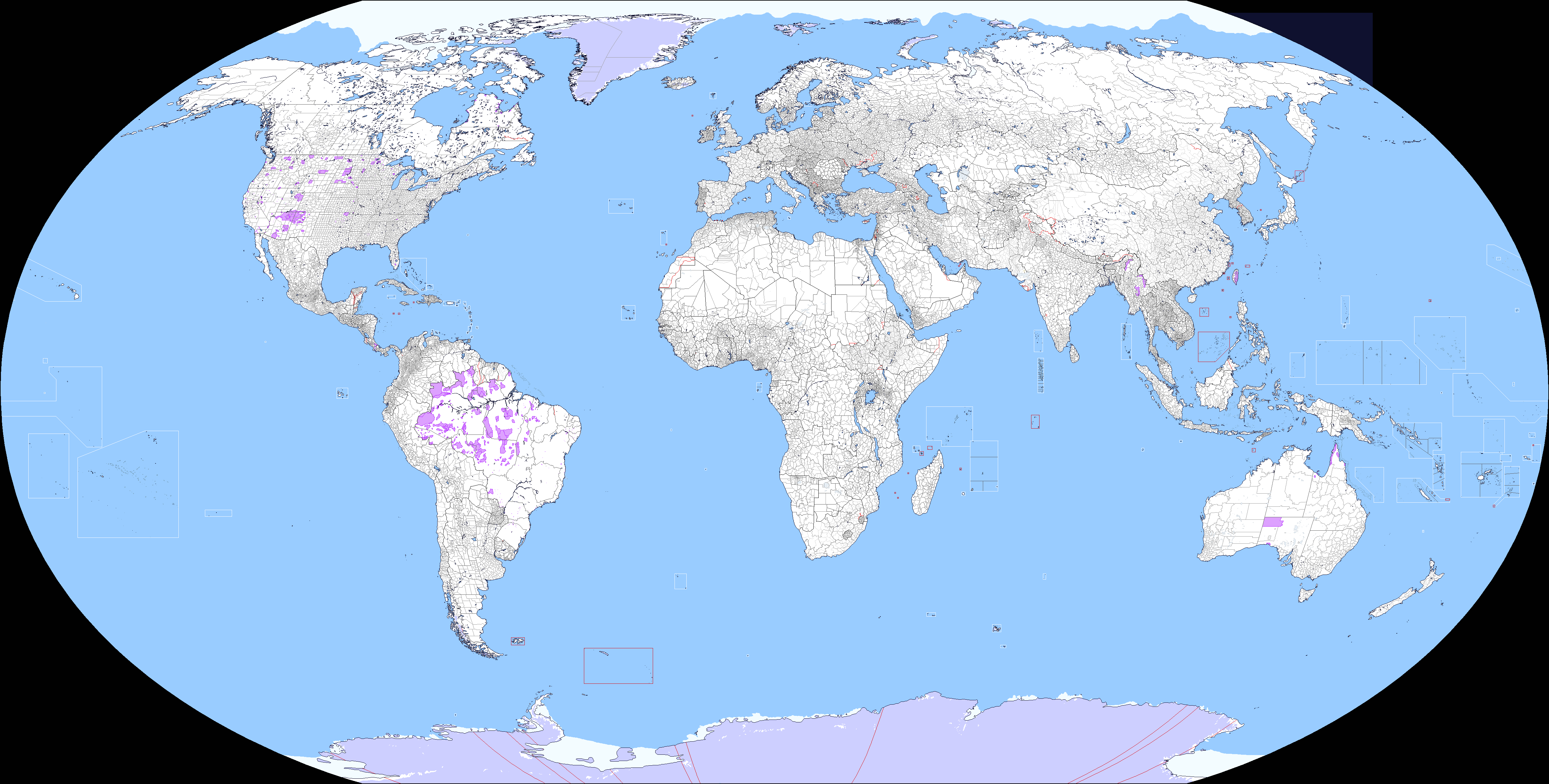
Nevermind, it's actually today that it ends. I finished everything. I will not be doing anymore qbam patches unless they are much smaller in scale.
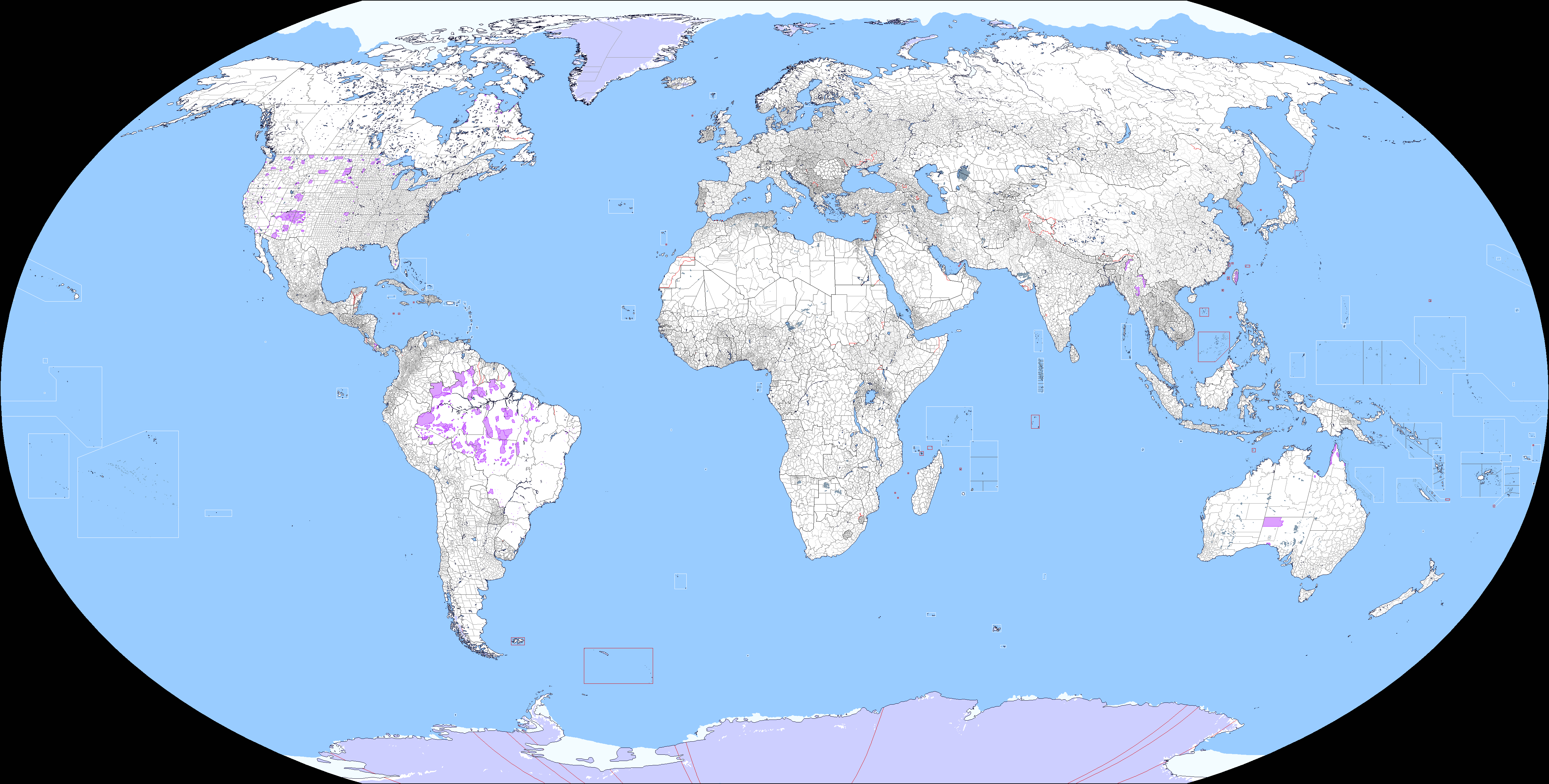
Here's what I think is the most updated qbam
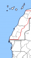
What is the deal with double borders in Myanmar. They have been there since the last major revamp of China.