What are the states in and around Morocco, Eastern South Sudan, and Portuguese Guinea?My take at 1910:

Some explanations:
- Base color is used only on uninhabited regions (the Arctic regions, and el-Djouf)
- Some tribal areas are estimated, and I cannon guarantee 100% accuracy, such as in the Australian interior, the Chaco region, and Western Sahara
- Speaking of that region: Morocco didn't have an established border at the Sahara, and by 1910 most of its interior was ruled by tribes technically under the Sultan's control, but they were de facto independent. Also, some independent tribes existed in the area escaping French, Spanish and Moroccan alliegance.
- In the Case of New Guinea, I chose to represent all the people under the same "Papuan Peoples", as it is relly chaotic and difficult to even know which and where tribes were there.
As always, questions and constructive criticism are welcomed!
You are using an out of date browser. It may not display this or other websites correctly.
You should upgrade or use an alternative browser.
You should upgrade or use an alternative browser.
Q-Bam Historical Map Thread
- Thread starter The Alternative
- Start date
-
- Tags
- historical maps q-bam
Morocco: they are not state entities, rather they're either tribes with de facto authority but de jure under the Moroccan Sultan (the ones with the Moroccan-red around them), or just independent saharan semi-nomadic tribes (the Regibat, the Tekna Confederation, Ait Atta...)What are the states in and around Morocco, Eastern South Sudan, and Portuguese Guinea?
Sudan: tribes still not subjugated by the British (the Zande, Dinka, Anuak, Murle and Nuer)
Guinea: two peoples not yet conquered by Portugal (Mandingo and Fula peoples)
It works fine for me.@DaniCBP Just a heads up that the 1910 map no longer shows up, at least for me
I second this, the map doesn't show for me too.@DaniCBP Just a heads up that the 1910 map no longer shows up, at least for me
Me neither.I second this, the map doesn't show for me too.
It did for me the other day but does not now.Me neither.
Can you post it again?My take at 1910:

Some explanations:
- Base color is used only on uninhabited regions (the Arctic regions, and el-Djouf)
- Some tribal areas are estimated, and I cannon guarantee 100% accuracy, such as in the Australian interior, the Chaco region, and Western Sahara
- Speaking of that region: Morocco didn't have an established border at the Sahara, and by 1910 most of its interior was ruled by tribes technically under the Sultan's control, but they were de facto independent. Also, some independent tribes existed in the area escaping French, Spanish and Moroccan alliegance.
- In the Case of New Guinea, I chose to represent all the people under the same "Papuan Peoples", as it is relly chaotic and difficult to even know which and where tribes were there.
As always, questions and constructive criticism are welcomed!
Repost:
My take at 1910 (updated):

Nice map. Shouldn't Cuba be shown as a US protectorate at this point in time?
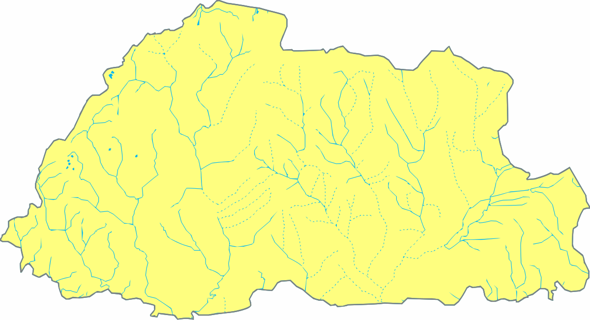
Despite the effort I've put into it, I've never been able to find one; what's your source for Bhutan's provinces?Repost:
My take at 1910 (updated):
Beginning work on an 1848 qbam to show the revolutions, here is the Kingdom of Two Sicilies and the Sicilian Rebellion with first and second level subdivisions

Well, I found the Wikipedia article (with some credible sources) explaining it had 9 “provinces”, before the 1910s when the territorial divisions started to improve and change.Despite the effort I've put into it, I've never been able to find one; what's your source for Bhutan's provinces?

Provinces of Bhutan - Wikipedia
Yeah, I updated the map to include that and also the US influence over Dominican Republic, which I also forgot.Nice map. Shouldn't Cuba be shown as a US protectorate at this point in time?
If you don't mind me saying Ottoman-Russian borderline looks a bit off, the southern part of the border followed the modern boundary line between Agri and Igdir provinces.Repost:
My take at 1910 (updated):

Missing the boundary between Durham and Northumberland in the UK.Repost:
My take at 1910 (updated):

Lübeck and Lübeck-Eutin (enclave of Oldenburg) are missingFinished Denmark, Schleswig, Holstein, Lauenburg, and the Papal States
View attachment 802911
I think you forgot San Marino.Finished Denmark, Schleswig, Holstein, Lauenburg, and the Papal States
View attachment 802911
Share: