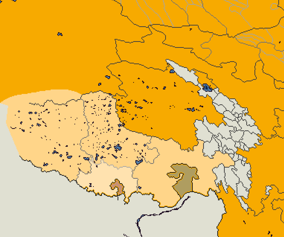
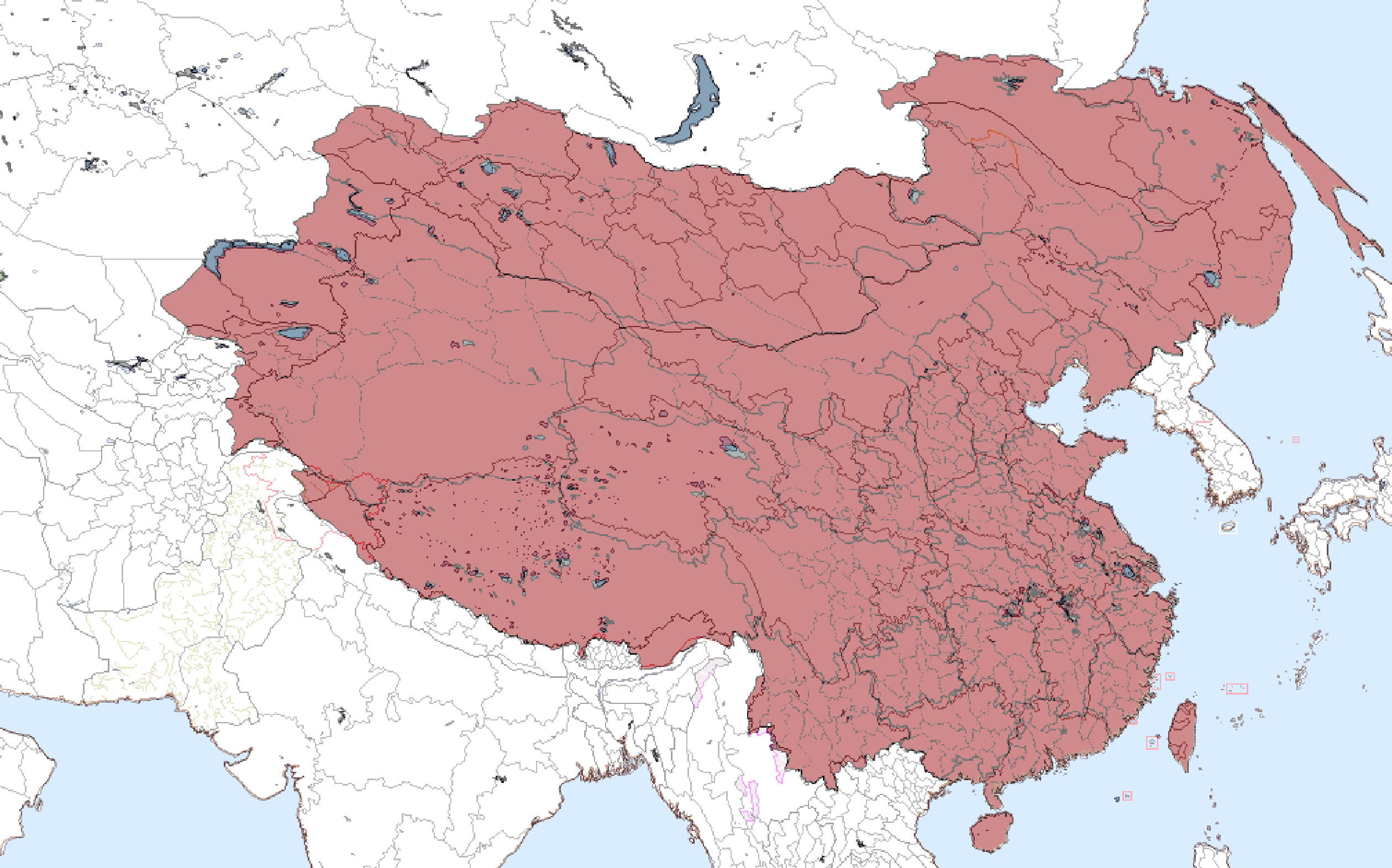
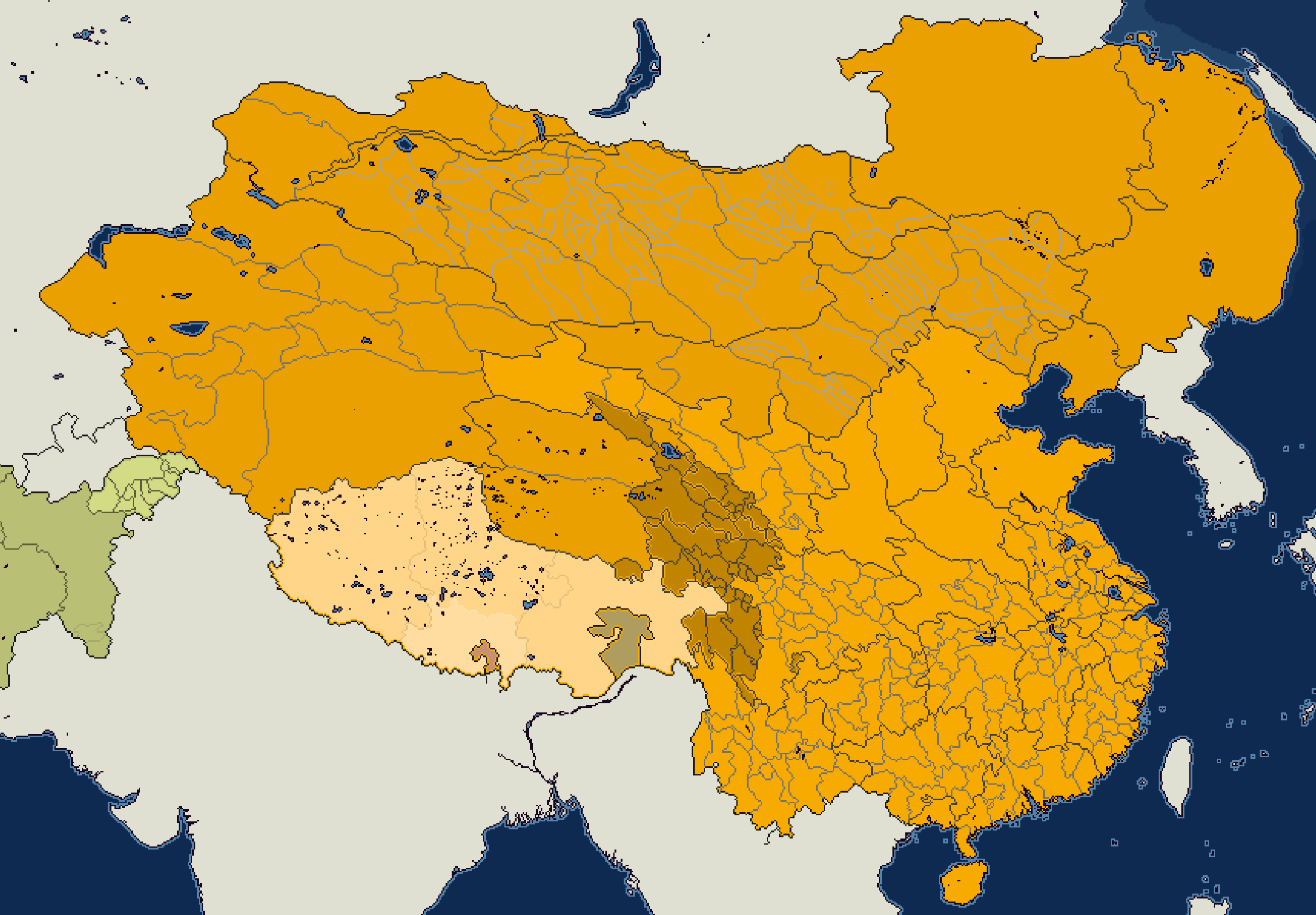
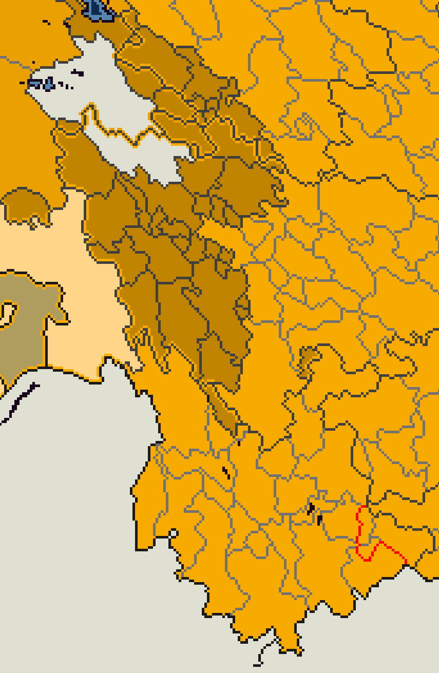
WIP for my Great Qing patch, if anyone knows, I can't quite figure out what level of subdivision the Tibetan Kingdoms/Chiefdoms are. Should they be a totally separate one like American native reserves, or? I'm not sure if they're de-jure under direct administration of the Qing province they overlap with, or if they are completely separate from the traditional subdivisions of the Qing government.