Make people in here aware of any changes in administrative subdivisions going on around the world as the time goes on, mainly in order to keep updating contemporary maps, these subdivision changes can be of all levels you wish, no matter how miscellaneous or small the changes are.
Posts do not need to be "recent" boundary changes per-se, I have some examples in here which are not that recent, but they rarely appear in recent maps, or simply some boundary changes that most people might be unaware of, you can post changes that might not be new, but they are so obscure that most maps in here do not show, for example:


Posts do not need to be "recent" boundary changes per-se, I have some examples in here which are not that recent, but they rarely appear in recent maps, or simply some boundary changes that most people might be unaware of, you can post changes that might not be new, but they are so obscure that most maps in here do not show, for example:
- Angola's Luanda Province was enlarged in 2011, this happened ten years ago - yet the overwhelming majority of online maps still do not show the changes in question (I only found 3 maps of it online), the 8K-BAM map is as an example of this.
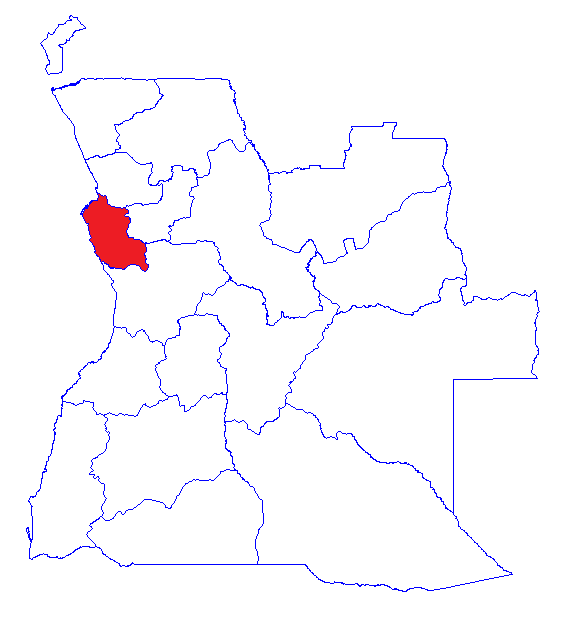
- Angola's Bengo Province also changed in that same year, and yet only 3 online maps that I could find show the update.
- Equatorial Guinea as of 2015 has a new province named Djibloho, where its new planned capital, Ciudad de la Paz will be located in.
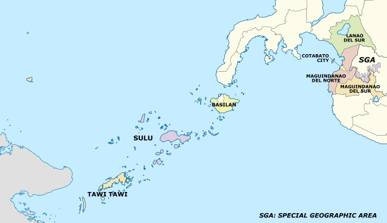
- The Philippines established the Bangsamoro Autonomous Region in 2019
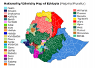
- Ethiopia's Sidama Region was separated from the SNNP Region in 2020 after a referendum on the previous year
Last edited: