I am only asking for these insurgencies, tribes, etc. to be added to the most up-to-date modern QBAM, not to make an entire revamp of this map, which will of course require credits to the original authors of this project, which I can give to them if you want to.
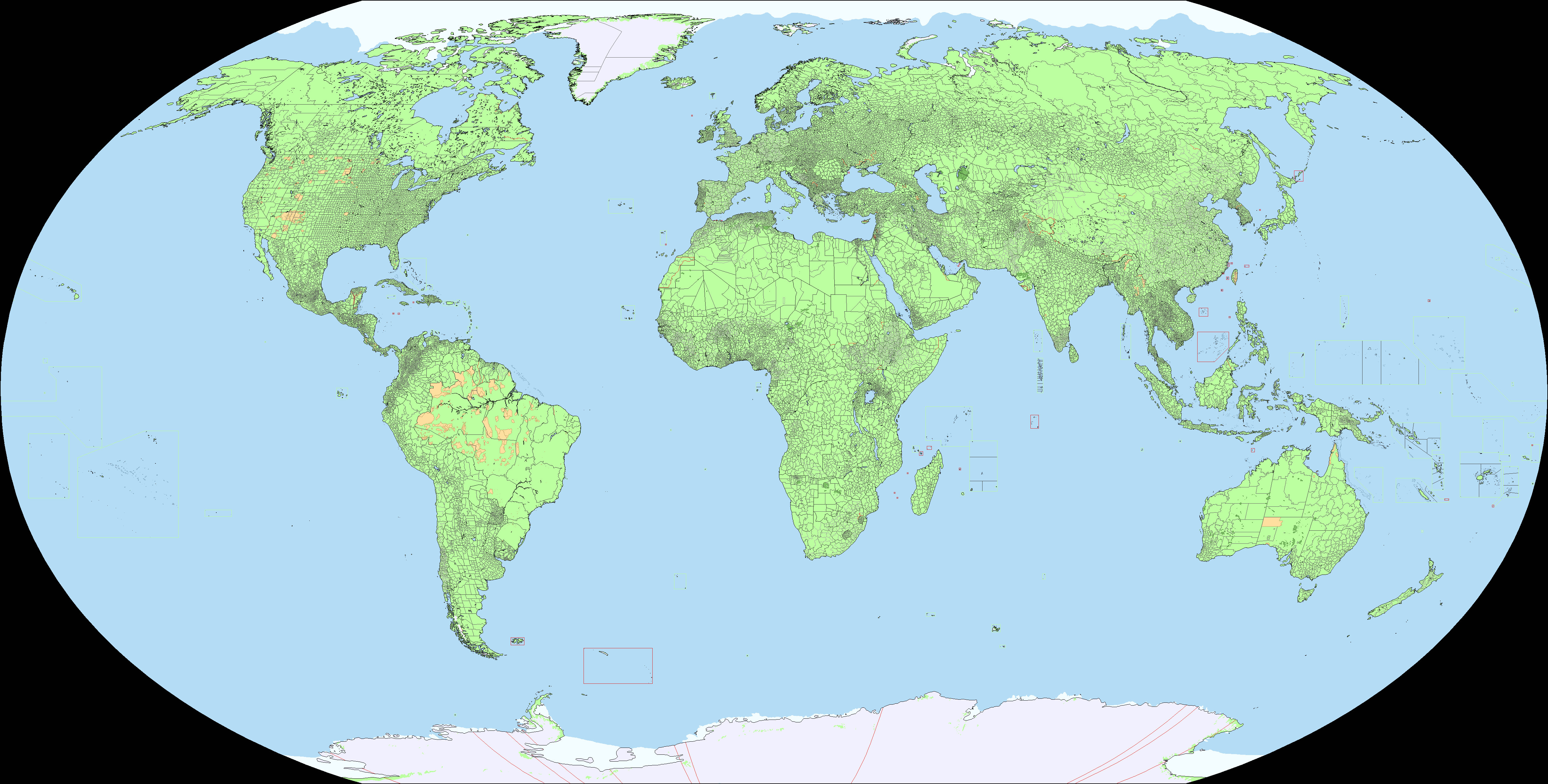
Just threw some out there on a stylized QBAM I made and it doesn't look too bad. Also added some personal taste stuff like the admin borders being the same color as their country/controller and different country colors. Will try and continue next time I need some idle task to do with my hands next time I'm listening to a podcast or something, but I'm also horrible at finishing maps so who knows. I'll keep ya posted.