The HEART Development and Core Thread

As it stands the M-BAM is a 112.6 megapixel base map used by some people here, it was made and developed on this forum in and since December 2015, M-BAM is an abbrivation for MEGA-Big Associated Map, named by yours truly, one of the original developers of that map :)

M-BAM itself is an 3 times upscale of the smaller but more detailed Q-BAM (Qazaq's Big Associated Map), which was developed by Qazaq in 2006 as a base map format and then the project was picked up by volunteers here on AH in 2011, I have also made contributions to it, but nothing as major as to M-BAM.

I recently came across the RQ-BAM thread by @Tanystropheus42 which seeks to remake the Q-BAM ground up to put it in the robinson projection, great idea and M-BAM shouldn't stay behind on this next step in the BAM journey.

For this map which is going to be called Hugh Editable Aliased Robinson Template or HEART for short. I am going to upscale the known robinson projection to 128 megapixel (16000x8000) slightly bigger than the current M-BAM but using nice round numbers in its total size, this map will be centered on the 11th meridian east, this to prevent the map from cutting of part of Siberia and Fiji, instead making a nice cut through the Bering strait and St. Lawrence island in a similar fashion to the BAM maps.

HEART is made possible with NASA's 2004 BM map, which using G-Projector can be neatly converted into a 16kx8k Robinson complete with major rivers and national borders, simplifying this massive task to mostly a job of tracing.

Here is the first patch for the Netherlands and Luxembourg:
image.png

Like the BAM maps, I am hoping this to be a succesful project, I only just started to any feedback is hugely appriciated at this stage :D
 
Last edited:
HEART creation process details
Hello everyone, second day of the HEART project today and I wanted to share the process that makes HEART possible.

As I told before this map is made possible by NASA's 2004 BM projection, using G-Projector, another tool provided by NASA you can easily convert any equirecangular projection into Robinson and shift its meridian 11 degrees eastwards, this is what I have done to the BM, G-projector allows you to export a grid and borders and rivers on top of this adding a good framework for everything except subdivisions and minor rivers.

The result is this template which really means 90% of this project is just drawing the map now:
kS6zeYLybryv.png


I am hoping this can be a collab project similar to the BAMs and honestly it would be an inhumane task for me to draw all of it, so I am adding my source files (the converted projections) here as a link for other people to help out iof they want :D

DOWNLOAD HEART .PDN
 
I have started working on Pacific islands. To start with, I have Guam and the Mariana Islands.
image.png
image.png

I am planning to expand eastwards.
 
Last edited:
Patch #5:

Added Andorra
Added Catalonia
Added Cantabria
Added the Ebro river
Added the Duero river
1700567289069.png
 
Last edited:
Patch #6:

Added Spain
Added Portugal
Added Gibraltar
Added the Tagus river
Added the Guadiana river
Added the Guadalquiver river
Added Gibraltar
Added the Balearic Isles
Added Ceuta & Melilla

1700588761047.png
 
I have started south america with chile and argentina
Great work but I think you missed out on some detailing
image.png

image.png

This is just an example but there are quite a few more inland lakes, you can check google maps for reference, becasue BM doesnt always provide contrasting colours
 
Great work but I think you missed out on some detailing
image.png

image.png

This is just an example but there are quite a few more inland lakes, you can check google maps for reference, becasue BM doesnt always provide contrasting colours
Looking at these, the fjords should also extend a bit further inland.
 
Switzerland mapping always kind of gives me anxiety since my first time I mapped it I did it very wrong and that memory has kinda stuck with me :oops:
I do think there might be some distortion around the cantons in the east particularly, and I haven't done second level divisions for that reason.

All that said...

Patch #7:

Added Switzerland
Added Liechtenstein
Extended Rhine river
Extended Rhone river
1700648754834.png


I see some ppl are interested in helping out with the HEART developement so let me clear up my plans, I am planing to move clockwise around the mediterrenean and then move north east into Russia!
 
Last edited:
Patch #8

Added Corsica
Added Italy
Added San Marino
Added Vatican city (still only 1 pixel)
Added Po river
Added Tiber river

1700750611739.png


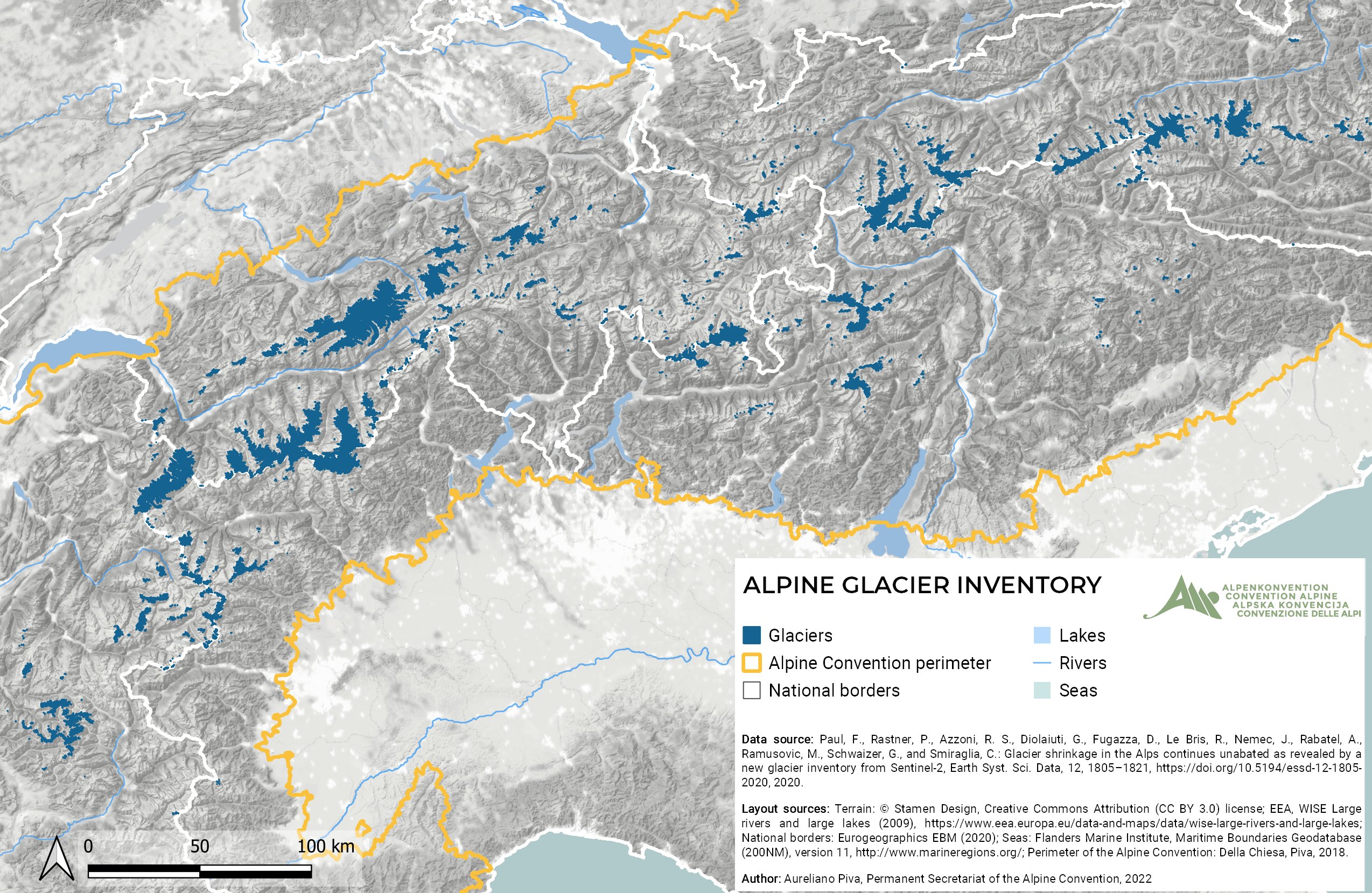
I wanted to ask if there is any reason current BAM maps do not show Alpine glaciers but do show glaciers in Norway? I would like to show glaciers but I would like to ask if there is any reason they don't do this on the BAM maps first
 
I wanted to ask if there is any reason current BAM maps do not show Alpine glaciers but do show glaciers in Norway? I would like to show glaciers but I would like to ask if there is any reason they don't do this on the BAM maps first
Alpine glaciers are quite small: it'd amount to a few sparse pixels in Austria and Switzerland. However, I think this is only the case for the Q-BAM and not the M-BAM or HEART. Feel free to add them to your map, it's a nice extra bit of info!
FLtd3y5XIAAchwk
 
Sure thing, might make a nice extra detail onto the map and it will be consistent when adding Arctic glaciers later
 
Patch #9

First redo's of the project today, especially Austria was hard and there might be some small accuracy issues with its second level divisions

Added Austria
Added Southern Germany
Added the Mossel river
Added the Main river
Added the Upper Donau
Added Alpine Glaciers

1700825623453.png


About the glaciers I am sorta curious what people would prefer to show them as, I currently have them on top of the borders but it would also be possible to put the borders on top of them like this:
1700825842143.png


Please let me know what you guys would prefer or if you'd perhaps like a mixture of the 2, currently I have the layers seperate in paint.net so I can easily edit them
 
Patch #9

First redo's of the project today, especially Austria was hard and there might be some small accuracy issues with its second level divisions

Added Austria
Added Southern Germany
Added the Mossel river
Added the Main river
Added the Upper Donau
Added Alpine Glaciers

View attachment 871309

About the glaciers I am sorta curious what people would prefer to show them as, I currently have them on top of the borders but it would also be possible to put the borders on top of them like this:
View attachment 871311

Please let me know what you guys would prefer or if you'd perhaps like a mixture of the 2, currently I have the layers seperate in paint.net so I can easily edit them
Borders on top.
 
Top