It's been a while since I've done them but it boiled down to 2 things: wikipedia maps and my own judgement on historical regionsHey @Sharklord1. Wanted to ask where did you got the provincial borders for the Sassanid Empire on this? I got the qbam from a google drive link btw. Thanks.
The wikipedia maps by a guy called "HistoryofIran" show these provinces:


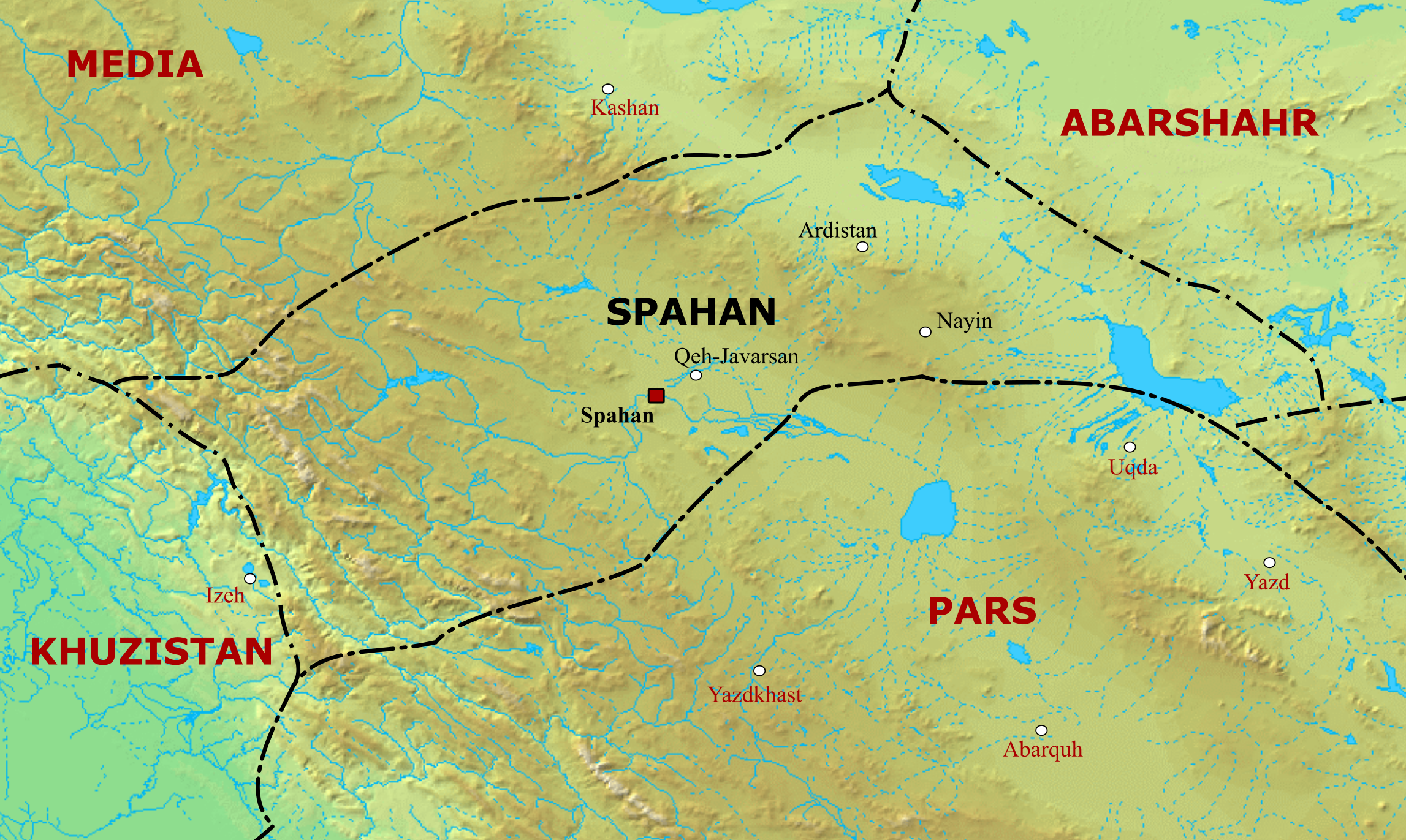

There were also other provinces such as Adiabene and Armenia which had their own maps and I drew them over. There are also some other maps which didn't show borders but showed approximate regions. This is where my personal judgement came in, since some of the provinces were former ancient Kingdoms (example: Characene became the province of Meshan). Also, Iranian cultural-geographical regions (I forget what the exact term is for it) tended to have specific areas with specific names associated with them. So I pulled from the list of provinces on wikipedia, found the maps, and added borders based on the geography associated with the province.


It's not exactly accurate though, and alternative methods can be used I'm sure. At the time, I trusted my judgement since I was getting into Sassanid history at the time.