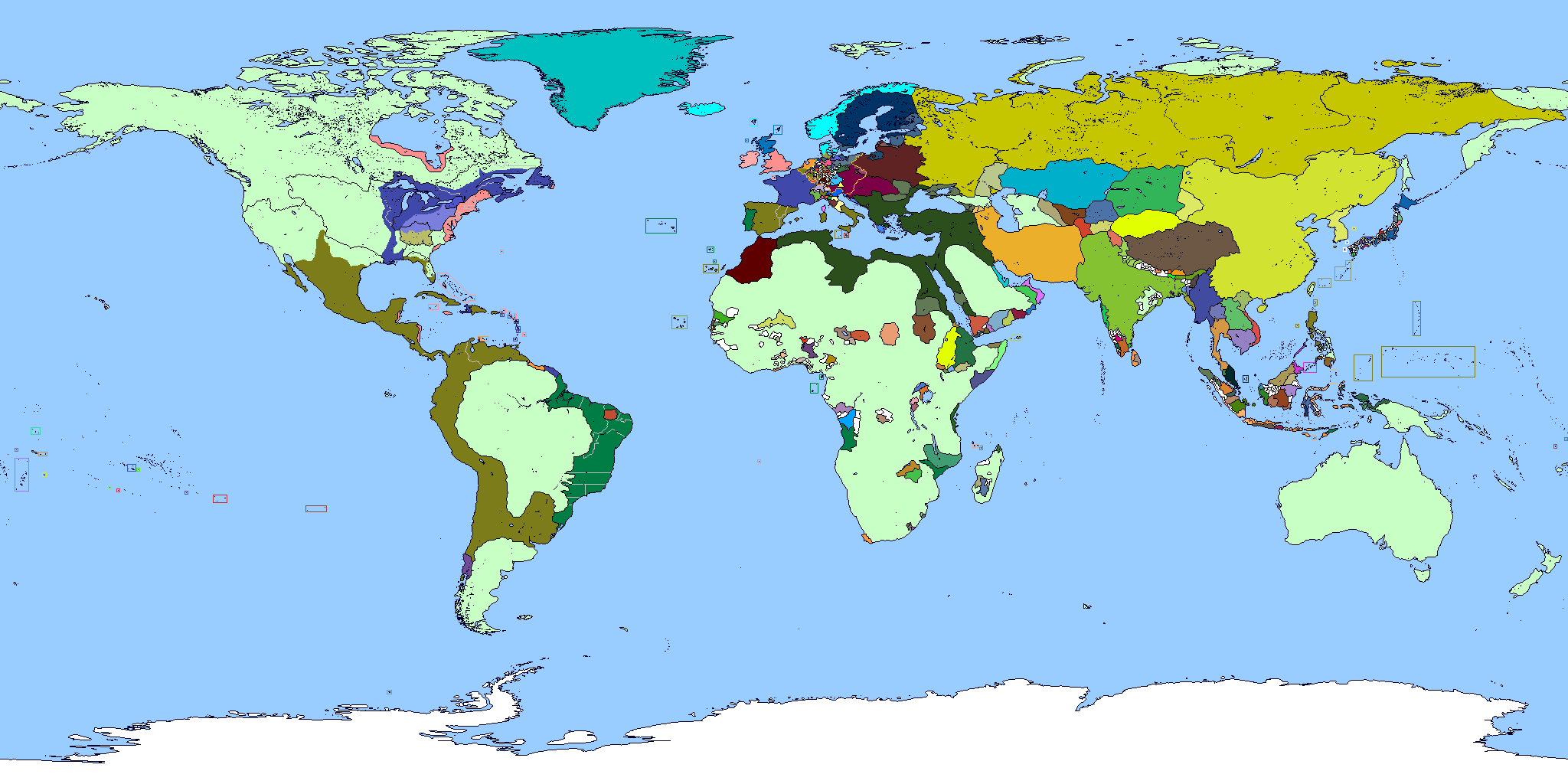
Hmmm. It seems that Hesse-Nassau has a little line at the bottom. While I would have assumed it was to connect the two portions of the Grand Duchy of Hesse, I can see that only one of them has the dark red, and Germany is probably socialist here. Ahh, and going to add British Gibraltar? Also, I see the borders in the Rhineland show the Belgian and British occupation zones.
Thanks for pointing these out, I remember telling myself to add Gibraltar before I saved the WIP but I guess it slipped my mind. You’re right about the subdivisions too, I was tracing a lot from a 1919 QBAM I found and it appears I left things like the British-Belgian occupation zone markers in by accident.