Map Thread VI

Status
Not open for further replies.
Are valid starts now possible with that date?

BTW, has the rebellion intense Ottomans been fixed by the advanced religion system? The Sunni Minority/Community seems to cut down on the revolt rate.

Well, I played one 1400-1650 game and everything worked fine. Ottoman AI managed to build quite large empire stretching from Hungary to Persia and from Crimea to Nubia - pretty historical outcome.
 

Nikephoros

Banned
Well, I played one 1400-1650 game and everything worked fine. Ottoman AI managed to build quite large empire stretching from Hungary to Persia and from Crimea to Nubia - pretty historical outcome.

Probably the wrong thread, but maps rarely show up here anyways, so I'll do it anyways.

What was so special about that 1453 start date? Setup events?
 
A map I made for The Countries Of An Alternate World Thread


BaseMap.png

BaseMap.png
 
So I revamped my map. I guess I lied about the perfect curves, but the pencil tool ended up messing everything up, so as compensation, there are no straight borders. And here we are:

Gwanggaeto 2.GIF

I added the Huns, and didn't assign a color for the Rourans because I thought that the Huns were more formidable as an empire.

Let me know what you guys think.

EDIT: Just to clarify, this map depicts the world in 435 AD after the death of Gwanggaeto the Great.

Gwanggaeto 2.GIF
 
Last edited:
So I revamped my map. I guess I lied about the perfect curves, but the pencil tool ended up messing everything up, so as compensation, there are no straight borders. And here we are:

View attachment 87425

I added the Huns, and didn't assign a color for the Rourans because I thought that the Huns were more formidable as an empire.

Let me know what you guys think.
Okay. Now we have mastered the use of the pencil, let us move on to logical borders. If you look on a map, you will see that there is a variety of landforms, cultures and languages. Use these to your advantage. Plus, there's always a reason why borders are the way they are. Some borders are due to war (eg, the Franco-German border) Some borders are made by compromise (US-Canadian border) Some borders are because of cultural similarities (Italian border) Ans some borders are just put on a map for no actual reason (Kazakhstan, Jordan, etc) So, before you just randomly scribble lines on a map, always think about: A. Whose border is that? B. Are there anything in the area that can be used as a natural boundary? (PS mountains are much better than rivers) C. How did that border come into being? Did the countries fight a war, and that's how far one army got? Were the two nations colonies of a European power? and finally, D. Does the border make sense? Look at the nation's history, and find out if the nation can realistically control that amount of territory. I hope this will help you in your future map making! :)
 
Okay. Now we have mastered the use of the pencil, let us move on to logical borders. If you look on a map, you will see that there is a variety of landforms, cultures and languages. Use these to your advantage. Plus, there's always a reason why borders are the way they are. Some borders are due to war (eg, the Franco-German border) Some borders are made by compromise (US-Canadian border) Some borders are because of cultural similarities (Italian border) Ans some borders are just put on a map for no actual reason (Kazakhstan, Jordan, etc) So, before you just randomly scribble lines on a map, always think about: A. Whose border is that? B. Are there anything in the area that can be used as a natural boundary? (PS mountains are much better than rivers) C. How did that border come into being? Did the countries fight a war, and that's how far one army got? Were the two nations colonies of a European power? and finally, D. Does the border make sense? Look at the nation's history, and find out if the nation can realistically control that amount of territory. I hope this will help you in your future map making! :)

Thx for the comments.

However, as this is alternate history, several butterflies must be considered, and countries which don't seem to have much of a chance can have greater control.

Although you might state that Korea can't extend beyond the Amur, I think that it's possible because other empires such as the Mongols and the Qing managed to do so, and the former had very little soldiers. The Rourans are just there, and really don't have definite boundaries, as they occupy deserts and steppes. I tried to make the Roman Empire and the Huns as accurate as possible, the Guptas and the minor empires are probably accurate, and the others are just guesswork.

Korea probably had the resources and the willpower to conquer China. When the Sui invaded with over 3 million soldiers, Goguryeo repelled them successfully, drowning most of them by breaking a dam. Of course, it was a defensive war, and they eventually fell to the Silla-Tang alliance, but the fact is that they were able to stand against such a formidable opponent. Because China was divided into several kingdoms in OTL 435 AD, I don't think that it would have been much for Goguryeo to effectively invade and conquer the area by utilizing their resources effectively if they had decided to turn their attention to conquering such a vast country.

If you have any objections after this, feel free to state them.
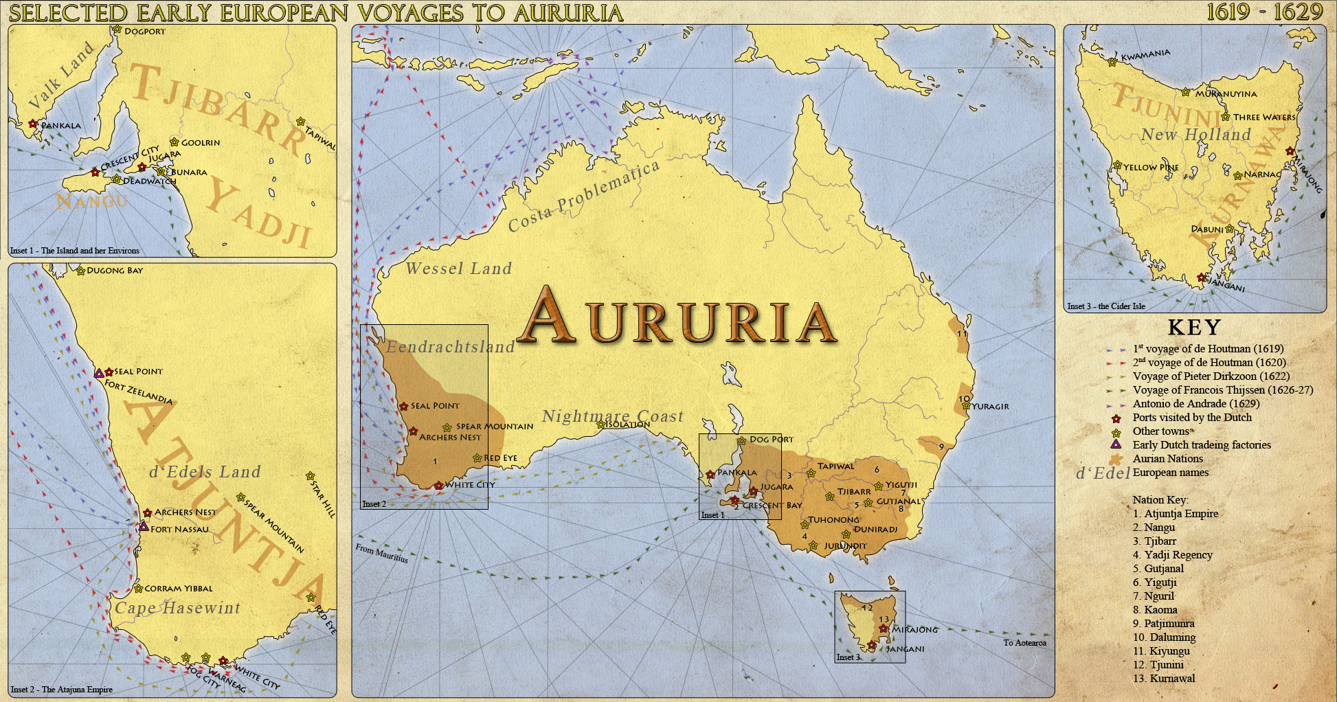
I think he was commenting less on the scope of each polity and more on how the borders are blobbish curves that bear no relation to the geographic features of the world upon which borders are usually based, and also don't fit with sane demographic and political circumstances that could be evolved.
 
This started as a I want to see what this would actually look like thing, but after I got the borders right, I figured I'd post it.

Greater Syria (approximation in Iran) based on the Syrian Social Nationalist Party's interpretation.

The flag in the background is the SSNP's.

Greater Syria.png
 
In honor to a couple of nerds who laid out the cornerstones for a potentially epic timeline.
 
Last edited:
My first map request!

Hi, everyone! This is Brdman (from the flag thread) I'm glad to find out that I don't need a second username and password to get onto the map thread!

I'd like to let you know that I'm a "flagmaker" and not a mapmaker. I'm working from an old Macintosh that can't support your guy's wonderful flagmaking/mapmaking software. My flagmaking adventure is poor on wonderful quality but huge on quantity. You can see for yourself here:

s366.photobucket.com/albums/oo108/BrdmanRBS/

Besides that, here's my map idea:

When the Soviet Union collapsed, an amazing thing happened: Russia returned to (approximate) borders that it hadn't had in 324 years!! :eek:
The borders Russia returned to had only changed in 1667 with the Treaty of Andrusovo when Russia gained right-bank Ukraine from Poland-Lithuania.
So, this map would be the just-pre- 1667 Russia. By this time, Russia included most of Siberia and what is now (western) Russia but had not yet conquered the north caucasus. You can see it right here:

www.ostu.ru/personal/nikolaev/russia1700.png

What would I like you to do now? Take this map and superimpose a map of modern Russia (with administrative boundaries) over it so we can compare the two time periods in one map- 1660's and 1991!

Thanks for your effort!:)
 
Top
Status
Not open for further replies.
Top