Singapore shifted to UTC+8 since 1982, in line with Hong Kong. We synched it with Malaysia after they decided everyone should follow East Malaysia's time zone (Sabah & Sarawak).This map is accurate in showing which cities are in which timezone.
As for where those cities are physically located on the map as well as the actual extensions of the time zones it is a wee bit less accurate...
View attachment 792375Oh and the Madagascan Peninsula is also a novel idea.
You are using an out of date browser. It may not display this or other websites correctly.
You should upgrade or use an alternative browser.
You should upgrade or use an alternative browser.
Return of Horrible Educational Maps
- Thread starter Westphalian
- Start date
Athens is the new ConstantinopleThis map is accurate in showing which cities are in which timezone.
As for where those cities are physically located on the map as well as the actual extensions of the time zones it is a wee bit less accurate...
View attachment 792375Oh and the Madagascan Peninsula is also a novel idea.
This map is accurate in showing which cities are in which timezone.
As for where those cities are physically located on the map as well as the actual extensions of the time zones it is a wee bit less accurate...
View attachment 792375Oh and the Madagascan Peninsula is also a novel idea.
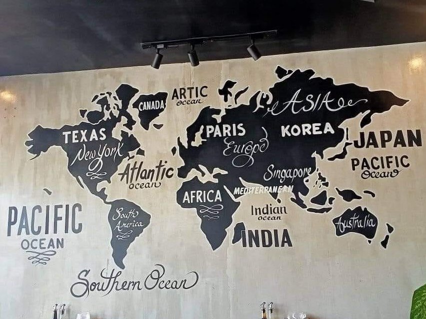
Looks like Godzilla has submerged Tokyo.
This sounds like a nationalist sloganAthens is the new Constantinople
In another TL, that could be a bannable offense on this board.This sounds like a nationalist slogan
")
What language is this?
Better question, what projection is this? 😖What language is this?
So it's got me wondering, if Iceland were shown, where would it be on the map....? 🤔
Better question, what projection is this? 😖
So it's got me wondering, if Iceland were shown, where would it be on the map....? 🤔
It's the "If-you-thought-mercator-distorts-too-much-you-have-seen-nothing" projection.
Joke aside one of the especiall bad things about that basemap is that it isn't actually any projection, it is more some snippets thrown into a pot and then stitched together where it does (or rather doesn't) align.
And the truly horrible aspect about it is that it keeps being used:
(there are many more examples to be found, including in this thread, if you would dare to seek them)
It's the "If-you-thought-mercator-distorts-too-much-you-have-seen-nothing" projection.
Joke aside one of the especiall bad things about that basemap is that it isn't actually any projection, it is more some snippets thrown into a pot and then stitched together where it does (or rather doesn't) align.
And the truly horrible aspect about it is that it keeps being used:
View attachment 793681
View attachment 793682
(there are many more examples to be found, including in this thread, if you would dare to seek them)
The top map is inconsistent in depicting Canada, US and Mexico in North America but leaving the other continents blank (and hey, pretty sure the US borders are from the basemap, with the original map probably made in the US).
But the bottom map, while improving consistency by deleting the borders somehow makes it worse by keeping the label Canada in there. So I guess we have to assume that Canada is a separate continent from North America now.
It's the Asia-Europe continent boundary on the top map I find fascinating. Why does it wobble about so much? Did someone have very strong views that Perm was in Asia but Yekateriburg must be Europe and then just wobbled the line to achieve this?
I would guess it was (at least indirectly) result of confusion created by the lack of Eastern Mediterranean and the Black Sea.
So the question of "where are the Urals?" could be more difficult than one might expect.
Confirmed! Looks like homework, "opdracht" means assignment in this context.Dutch, I am pretty sure.
(From Shit Maps on Twitter)
With these boundaries, I can’t even figure out what specific mistakes went into making this map.
Wow, Hadrian was even more ambitious than I thought... now that's a Romewank!View attachment 794178
(From Shit Maps on Twitter)
With these boundaries, I can’t even figure out what specific mistakes went into making this map.
Share: