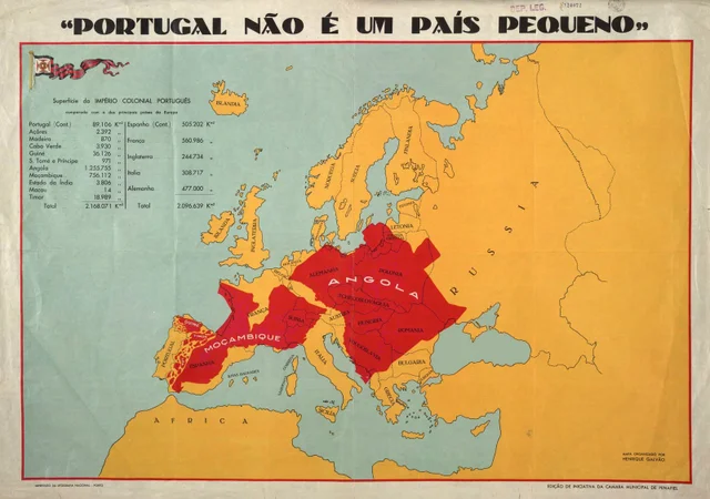
Being a wall decoration it doesn't really need to be a factually correct depiction, but still...
View attachment 795662
And the especially horrible thing is that at least the map above does try to keep some accuracy/detail, like some holes for the Great Lakes and the Caspian and Aral Sea (even though the latter one is mostly gone) and Africa at least touches the Arabian peninsula (not at the right spot, but at least one can somewhat deduce that that lump of metal must be Arabia)
And while the Philippines and Indonesia+New Guinea are two blobs one can at least identify which is which.
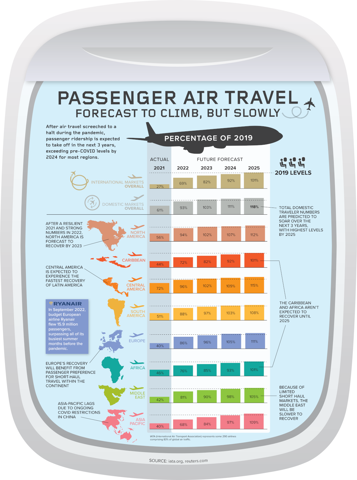
There are worse examples, for which I will only post a thumbnail (enlarge at your own risk)
View attachment 795663