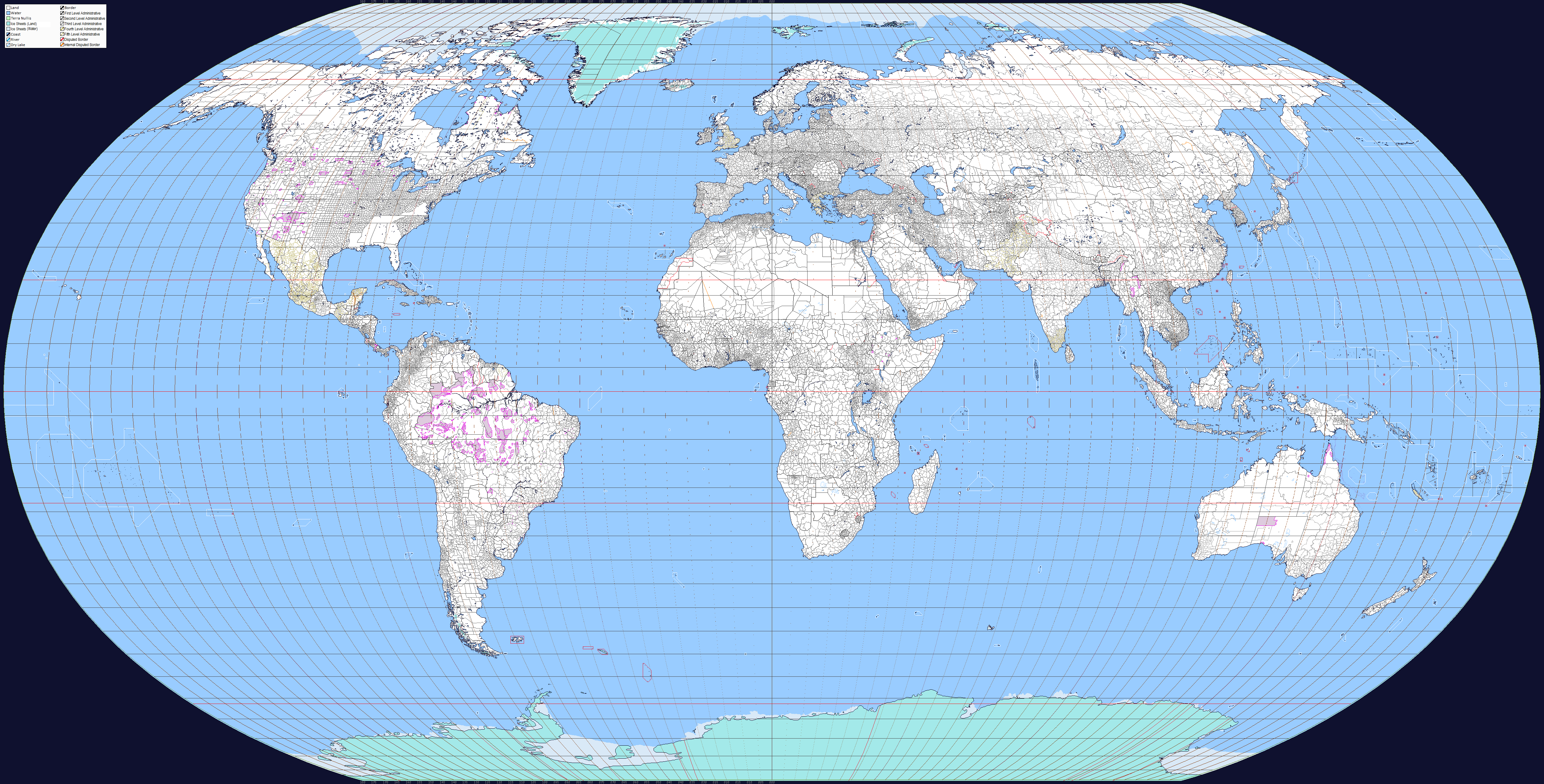
Ahn hi, I do not know if anyone has already done or tried to create coordinates in Q-BAM, but I started to build these coordinates and I ended up with some things. Assuming that most of the map currently drawn is correct and comparing this to the coordinates in Google Earth, the equator line is not in the middle of the Q-BAM but rather the 2 pixels above the middle.
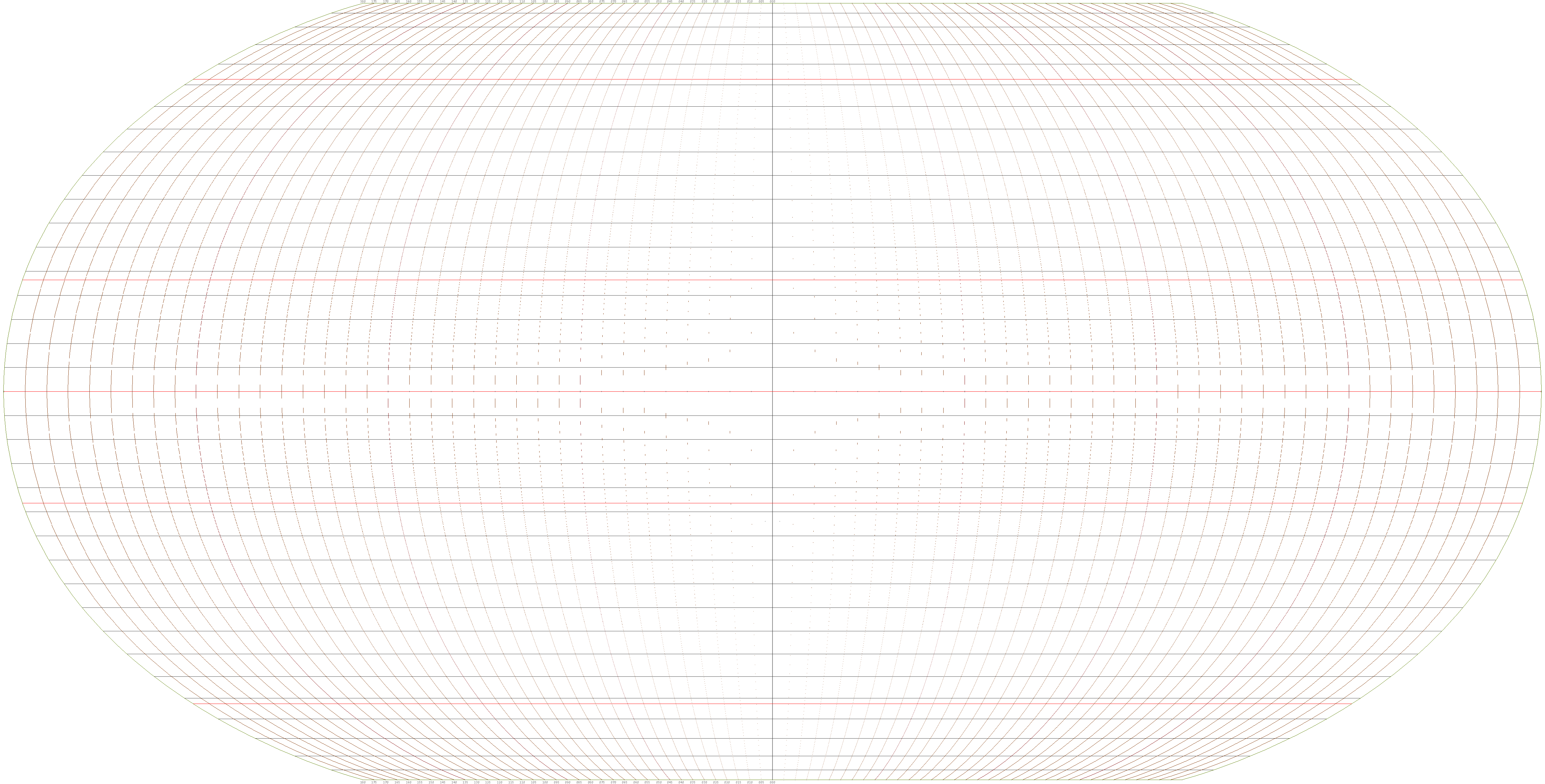
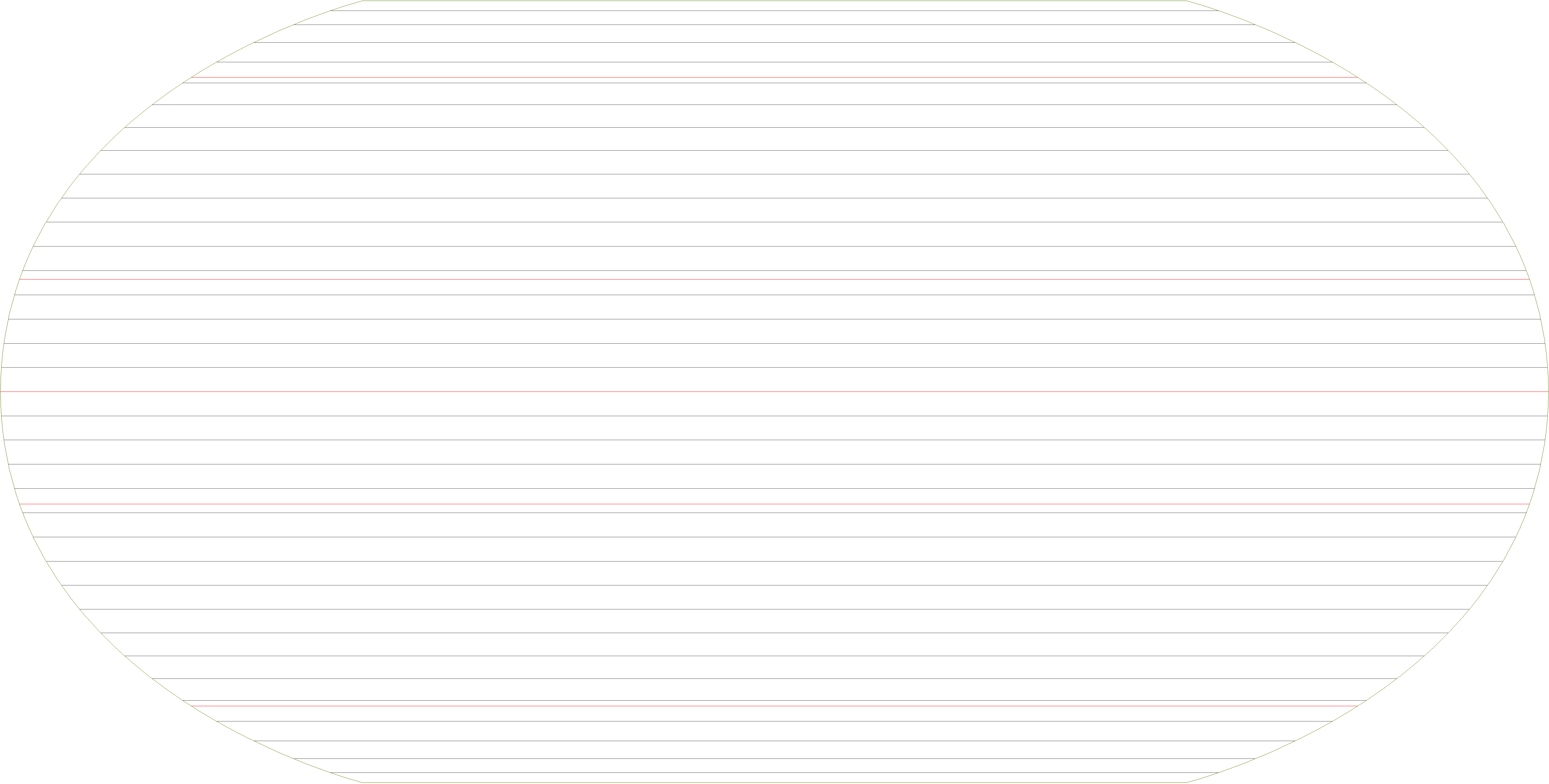
2 pixels may not look like much but because of this it could be that the distortion at the poles and or the size of the map are wrong. I continued to construct the latitude lines every 5th degree from this non-central equator, and to my surprise the parallels I was drawing fit perfectly when inverted where the line of that latitude should pass in the opposite hemisphere, and this is clearly visible from degrees 55°N to 55°S, implying that this area of the map is drawn correctly (exceeding 55° degrees in the south there is only water and Antarctica, so I can not say if the position of lands and latitudes it's correct). So I drew in olive-green what would the edge of the map look like using those parallels.
This gave me some conclusions about a probable problem on the map: 1) That for some reason the whole map was drawn farther north than it should and that the distortion in degrees above 55 ° is incorrect; or what I believe has happened is 2) The map is larger than it should be having only the Antarctica being further south than it should and with an incorrect distortion; and well I too can be completely wrong, and also the error in the distortion would not be so big, but even so it is a mistake.

EDIT: If anyone is interested, here is the map grid with an alpha background
2 pixels may not look like much but because of this it could be that the distortion at the poles and or the size of the map are wrong. I continued to construct the latitude lines every 5th degree from this non-central equator, and to my surprise the parallels I was drawing fit perfectly when inverted where the line of that latitude should pass in the opposite hemisphere, and this is clearly visible from degrees 55°N to 55°S, implying that this area of the map is drawn correctly (exceeding 55° degrees in the south there is only water and Antarctica, so I can not say if the position of lands and latitudes it's correct). So I drew in olive-green what would the edge of the map look like using those parallels.
This gave me some conclusions about a probable problem on the map: 1) That for some reason the whole map was drawn farther north than it should and that the distortion in degrees above 55 ° is incorrect; or what I believe has happened is 2) The map is larger than it should be having only the Antarctica being further south than it should and with an incorrect distortion; and well I too can be completely wrong, and also the error in the distortion would not be so big, but even so it is a mistake.
EDIT: If anyone is interested, here is the map grid with an alpha background
Last edited: