Why not just focus on making high quality regional maps? This thing will never be a complete map of the world - besides crashing people's computers, very few people are going to take the time to edit the entire world at that level of detail. Remember, in theory these are modifiable basemaps. So this map will always be in pieces - and if you use a world map projection, many of those pieces will be highly distorted. Use a conic projection, or satellite photos, or something else that was designed for patches of the Earth's surface and not the whole thing. Then there can be several high-quality, modifiable maps of various regions of the Earth.
You are using an out of date browser. It may not display this or other websites correctly.
You should upgrade or use an alternative browser.
You should upgrade or use an alternative browser.
- Status
- Not open for further replies.
ST15RM
Banned
Technically, it is supposed to just be regional. It's just global. Besides, I just resized the M-BAM to the scale of the S-BAM on paint.net, and it's fine.Why not just focus on making high quality regional maps? This thing will never be a complete map of the world - besides crashing people's computers, very few people are going to take the time to edit the entire world at that level of detail. Remember, in theory these are modifiable basemaps. So this map will always be in pieces - and if you use a world map projection, many of those pieces will be highly distorted. Use a conic projection, or satellite photos, or something else that was designed for patches of the Earth's surface and not the whole thing. Then there can be several high-quality, modifiable maps of various regions of the Earth.
FantasyMapper7806
Banned
I made a custom XBAM test Littoral a while ago. It's madness.
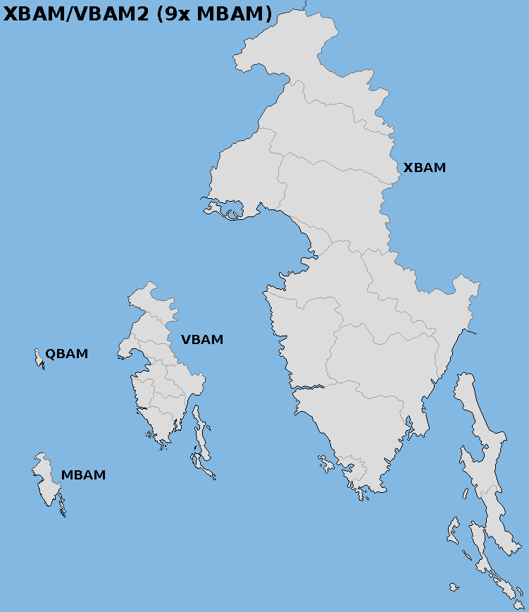
could you tell me which island is being shown on the scale?
")
Ranad
Banned
that's not an island, it's Istria.could you tell me which island is being shown on the scale?
Ranad
Banned
- Status
- Not open for further replies.
Share: