Yes, a world where the Basques are spread to the Loire and the Normands decided to permanently settle at the Mediterranean sea, is ASB enough for the Netherlands to be swallowed by the sea that far.I was more puzzled at where they decided to label french regions and places, but Netherlands too I guess.
You are using an out of date browser. It may not display this or other websites correctly.
You should upgrade or use an alternative browser.
You should upgrade or use an alternative browser.
Return of Horrible Educational Maps
- Thread starter Westphalian
- Start date

from here: not educational, likely intentional but really weird: South Atlantic almost closed like in Gondwanaland, random ridges in the North Atlantic, Australia having the west bitten off and shoved between Africa and India, and a strange minicontinent and other strange islands south of Indonesia...
That strange minicontinent looks suspiciously like Greenland. Not quite sure about most of those other islands. Oh, and that Black Caspian Sea combination above a withered Anatolia...
Oh and they have that map larger as a background image as well:
Last edited:
You know what happened to the last person that attempted doing just that?I kinda want to start doing Worlda versions of some of these.

What year is this map supposed to depict?
All of them. OK, maybe not the BC years.
All of them. Jut to pick an example, the Aztec, Inca and Songhai empires were long gone before Russia got to Alaska or the Portuguese actually got all the way to the western end of modern Brazil.What year is this map supposed to depict?
Years are social constructs.What year is this map supposed to depict?
Years are social constructs.
Maps need not years, need not throwing banana.
Also, the British colonies have their pre-1713 borders with France, but Spain is depicted as owning Louisiana, which did not happen until after the Seven Years War.All of them. Jut to pick an example, the Aztec, Inca and Songhai empires were long gone before Russia got to Alaska or the Portuguese actually got all the way to the western end of modern Brazil.
Last edited:
What I wonder about that is, what's the point? What am I supposed to use that map for?
You use it to hurt people.
It's not even good for that, because I can do that so much more effectively with this:You use it to hurt people.
stop posting the Pirates of the Caribbean map already, seriouslyIt's not even good for that, because I can do that so much more effectively with this: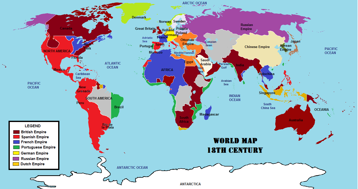
Share: