You are using an out of date browser. It may not display this or other websites correctly.
You should upgrade or use an alternative browser.
You should upgrade or use an alternative browser.
Return of Horrible Educational Maps
- Thread starter Westphalian
- Start date
Remnants of Lingua Franca, perhaps?All eye-gouging horribleness aside, I find it quite interesting how many Turkish names seem to have come from French: Fransa (of course), Ingiltere (from Angleterre), Irlanda (From Irlande. Might just be a corruption of Ireland tho), Norveç (from Norvège), Iskoçya (from Ecosse), that I can see here.
What?
Balkan Spain
Canadian US
Finish Germany
Poland at Taymyr Peninsula
not taymyr, but nevertheless arkhangelsk oblastWhat?
Balkan Spain
Canadian US
Finish Germany
Poland at Taymyr Peninsula
Not quite educational. I also imagine it would have been spot on if they used a larger map.
No, they're showing the UK as farther left than Spain and farther down than the US. A rectangular projection won't do that, no matter what the scale.Not quite educational. I also imagine it would have been spot on if they used a larger map.
Looks like they've taken the points from a Spain centred global map and stuck on a different flat projection.No, they're showing the UK as farther left than Spain and farther down than the US. A rectangular projection won't do that, no matter what the scale.
ninel
Banned
Or more probably, a result of the 20th-century “reforms” of the Turkish language. Won’t be surprising if aforementioned countries were named Somethingstan in Ottoman Turkish, cf. eg. change of Ottoman Lehistan into modern Polonya.Probably a result from the Franco-Ottoman alliance.
Some of these words aren’t even probably French-derived – Ingiltere looks more similar to Italian Inghilterra, and Iskoçya to Italian Scozia than to French names.

from here: not educational, likely intentional but really weird: South Atlantic almost closed like in Gondwanaland, random ridges in the North Atlantic, Australia having the west bitten off and shoved between Africa and India, and a strange minicontinent and other strange islands south of Indonesia...

from here: not educational, likely intentional but really weird: South Atlantic almost closed like in Gondwanaland, random ridges in the North Atlantic, Australia having the west bitten off and shoved between Africa and India, and a strange minicontinent and other strange islands south of Indonesia...
Here is a map.
Here is a map on drugs.
Crazy Boris
Banned
it looks like Greenland is the mass just south of Java and New Guinea is to the west of Sumatra. The islands of Japan seem to have drifted towards Madagascar, and I think the two northernmost islands in the Atlantic are Iceland and possibly Cuba, but I have no clue what that triangular one might be.

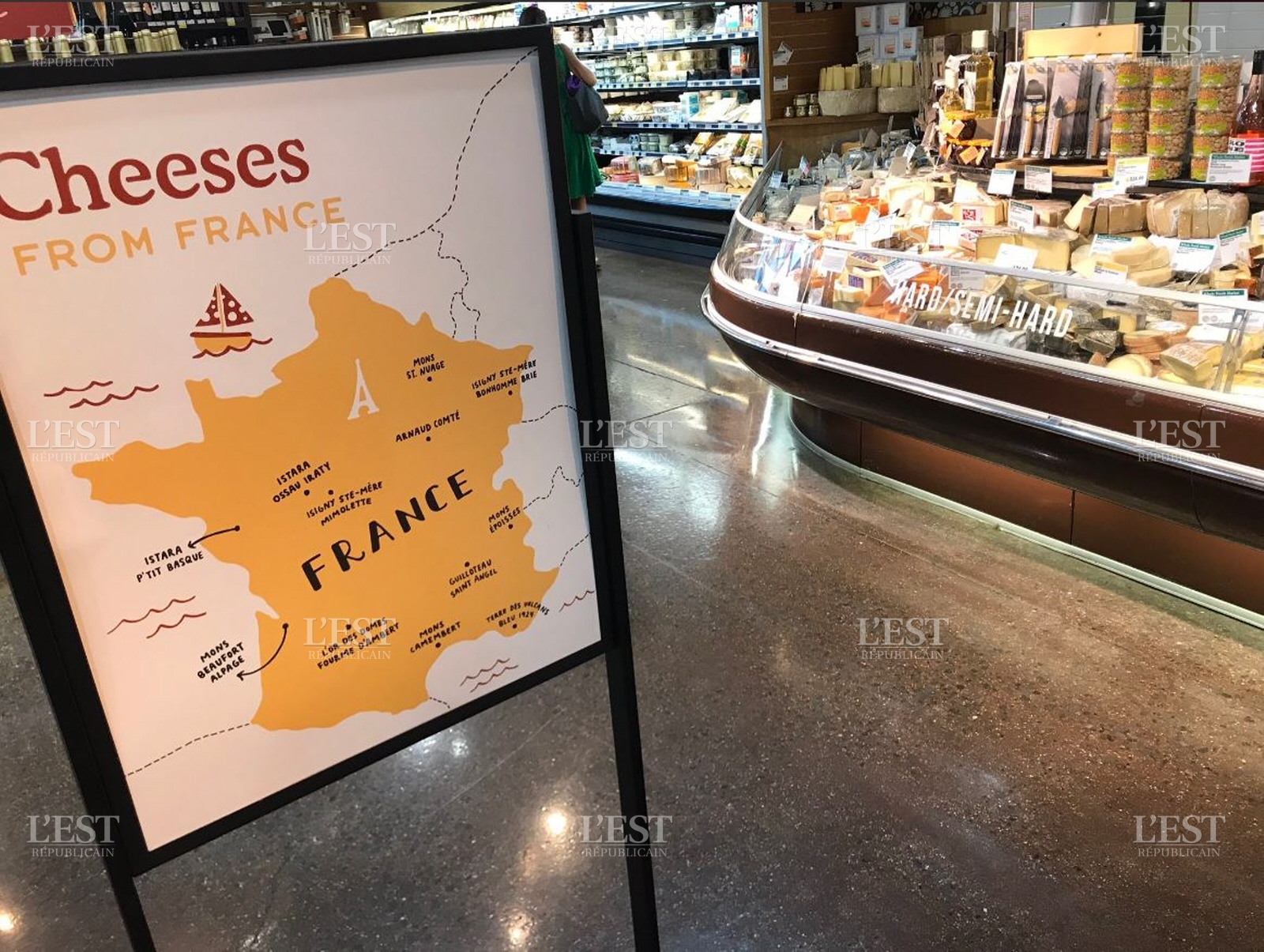
Ohalala, baguette, omelette du fromage
What's happened to the Netherlands?
The Dutch republic formed Germany.What's happened to the Netherlands?
The Dutch republic formed Germany.
It looks more like the Sea defeated its mortal enemy, The Netherlands.
Or The Kingdom of Atlantis laid claim to all of western Europe.It looks more like the Sea defeated its mortal enemy, The Netherlands.
I was more puzzled at where they decided to label french regions and places, but Netherlands too I guess.
Share: