You are using an out of date browser. It may not display this or other websites correctly.
You should upgrade or use an alternative browser.
You should upgrade or use an alternative browser.
Post your first maps
- Thread starter AmericanAdam
- Start date

Alex Richards
Donor
It's a scan and not AH, and it's far from my first map, but it's the oldest I can find. I dated it 2000 on the back, meaning my freshman or sophomore year of high school.
In the days when the Internet was small and slow and not very searchable, not everything was available online. So to visualize the Shire I had to draw it myself, from the description in the book.
That's just gorgeous.
Here's my first from about a week after I first joined the forum. Not to bad in terms of quality, though the content is dire. I won't even link to the thread it appeared in....
That's just gorgeous.
Here's my first from about a week after I first joined the forum. Not to bad in terms of quality, though the content is dire. I won't even link to the thread it appeared in....
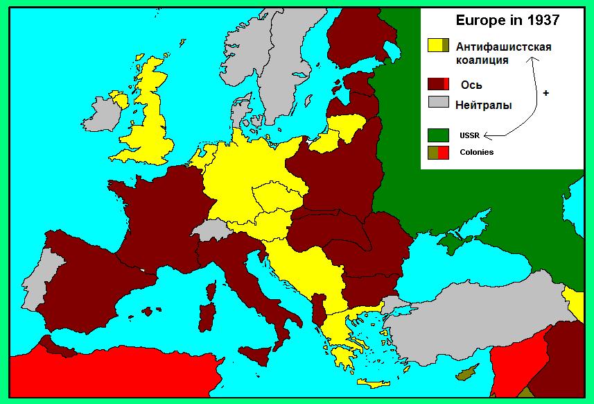
Is... is that an Ottoman Germany?!

Ottoman France, Ottoman Britain...Is... is that an Ottoman Germany?!
Ottoman Europe.
Alex Richards
Donor
Is... is that an Ottoman Germany?!
Ottoman France, Ottoman Britain...
Ottoman Europe.
Like I said, the content is quite embarrassing at the distance of 6 and a half years
My first map was a very crude and cliche-ridden FH scenario that used the wikipedia template. I don't know if it still inhabits some dark corner of the Internet. From that year I started to seriously make maps (around 2007), there's only one of them I still keep, ad so it can count as the earliest of what remains.
That faux-Cyrillic tho.
I like this one actually.
Like a lot of the other people here, most of my "first" maps were on paper.
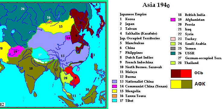
The oldest alternate-history map I found on my computer was this one of Europe in a ridiculously implausible scenario (which is pretty much all I'm capable of) involving, ironically enough, a superwanked UK:

And then the first map I uploaded to this website, a fantasy scenario set in the future in which LEGO minifigures become sentinent- but turn out to be evil

I wanted to post the blurb, but the old map thread it was in has been lost to the virtual shredder of time. I remember I described the various regions as being associated with LEGO themes, for example I believe the big square in the middle of Africa was called "Pirates' Island" or something, and Iceland was "Ice Planet 2002". (Bleh, I hate looking at my old posts- they seem so immature)
The oldest alternate-history map I found on my computer was this one of Europe in a ridiculously implausible scenario (which is pretty much all I'm capable of
) involving, ironically enough, a superwanked UK:
And then the first map I uploaded to this website, a fantasy scenario set in the future in which LEGO minifigures become sentinent- but turn out to be evil
I wanted to post the blurb, but the old map thread it was in has been lost to the virtual shredder of time. I remember I described the various regions as being associated with LEGO themes, for example I believe the big square in the middle of Africa was called "Pirates' Island" or something, and Iceland was "Ice Planet 2002". (Bleh, I hate looking at my old posts- they seem so immature)
Uhhh......
Besides the fact that Alaska controls (presumably) the entire west coast of America and is still called 'Alaska'; I love the fact that some of the wording on the infobox was so obviously put in manually in paint.
Oh, and John McCain.
One of my earliest I could find. Before I discovered paint on computer, I used to do maps hand-drawn from tracing paper over atlases. How times have changed...
This map shows the state of the world in the 2070's from the future.wikia future map game.


This map shows the state of the world in the 2070's from the future.wikia future map game.
This is my first map (I've redid this scenario on different map platforms after)
I made this around the time i joined AH.com. The scenario is that after the U.S. intervention in Lybia they interveined in syria with the same success and that inspired peaceful demonstrations in iran... yeah that turned into a civil war too and this is october 2020. the government in tehrahn bought a nuke from the north Koreans (although NK wouldn't say they did) to use on a rebel staging city for their final push to tehran (Qom).
The chinese intelegence agency knew this and within hours of it going off they told the U.S.
The chinese invaded NK 3 days after the nuke blew. The U.S. and the south invaded the next day, russai accused china of invading illegally and NK had every right to sell it and invaded manchuria. The EU invaded russia after they invaded china. Basicaly WWIII broke out in 2020 with china and the U.S. on the same side against russia. dark blue means they entered the war right away light means later in the war. same with the reds and red means the opposing side instead of communism.
i thought i heard that after the last round of NK threatening the U.S. (right before the boston bombing) china said they wouldn't help nk if war did break out so that's how i figured this would happen. green is a new arab nation and dark are allies of it.
Thande
Donor
That's excellent. I didn't know there were any editions of LOTR published without including a map, mind you...It's a scan and not AH, and it's far from my first map, but it's the oldest I can find. I dated it 2000 on the back, meaning my freshman or sophomore year of high school.
In the days when the Internet was small and slow and not very searchable, not everything was available online. So to visualize the Shire I had to draw it myself, from the description in the book.
Ottoman France, Ottoman Britain...
Ottoman Europe.
Everything is Ottoman.
Share: