Subway lines, simple city maps, urban scale warfare, whatever. This thread is for small area maps the size of a city or couple counties.

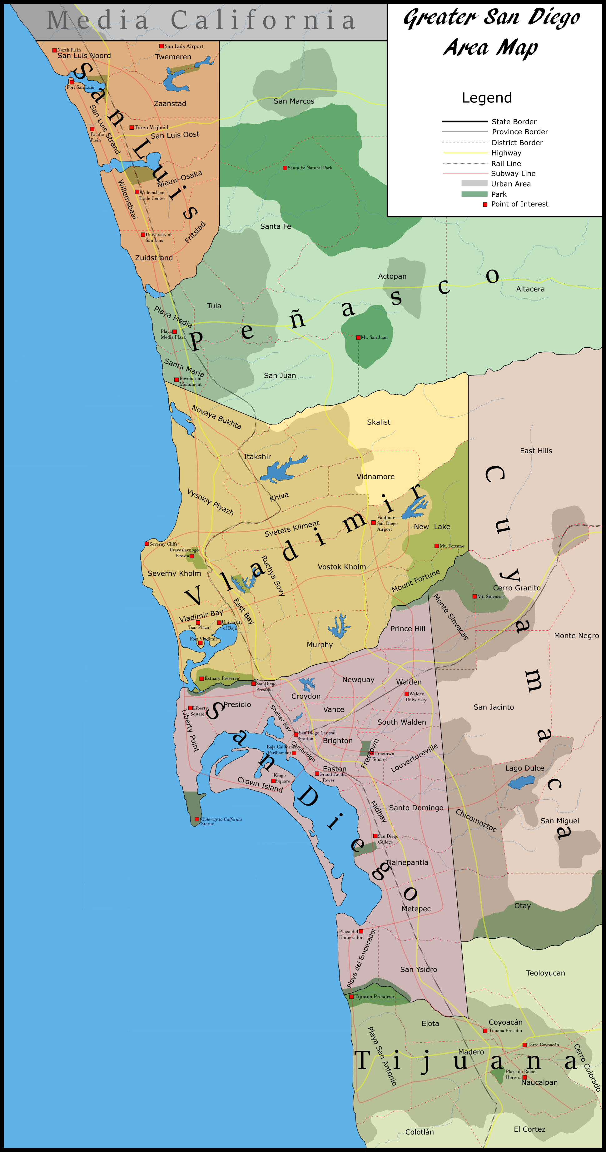
I feel that we've got many great maps of the world or of countries, but sometimes things at the urban scale can be just as interesting. I hope other folks agree.
 
I'll start with a map of an alternate San Diego (my home city) I made for the Affiliated States of Boreoamerica thread. The whole story behind it is here but basically the English, Russians, and Dutch all found trade enclaves within Mexico, and later they merge with the Mexican state of Baja California to form the State of Baja within the Californian Union.

san_diego_city_by_doctor_president-dac5aaa.png
 
Last edited:
Gotta admit, San Diego's bay is pretty sexy.

But I'm San Franciscan, so obviously I can't give it too much credit because ours is better ;)

Love the map though, I always try to make similarly good looking maps and repeatedly fail.
 
That's a lot of subway lines.
Seven total- still a lot less then New York's!:p
Gotta admit, San Diego's bay is pretty sexy.

But I'm San Franciscan, so obviously I can't give it too much credit because ours is better ;)

Love the map though, I always try to make similarly good looking maps and repeatedly fail.
Thanks! Note that in both OTL and TTL, the bay has been modified through landfill, but in somewhat different directions. OTL map to compare.
 
Trying to make a standard transit key.
transi.png

If anyone has tips or knows of system styles I've forgotten let me know.

Obviously regular bus routes aren't really worth showing unless you want to be super thorough...
 
Top