The VT-BAM project

Do you have a linke somewhere to your Gigamap? Because I never heard of it and it sounds really nice.
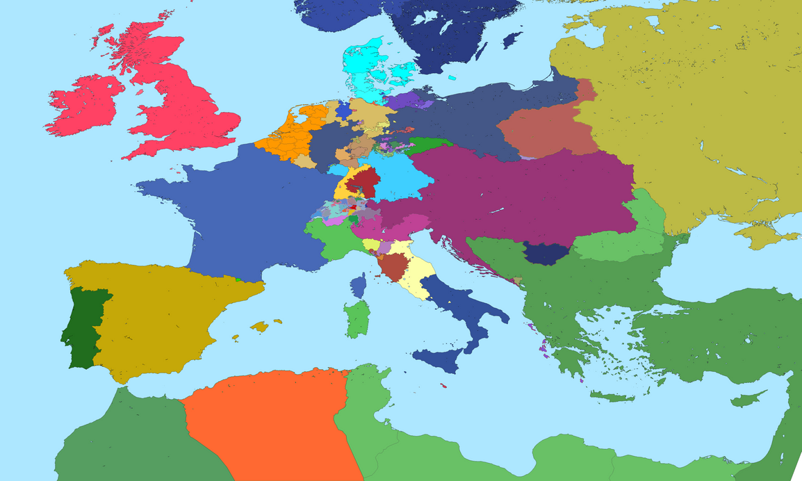
Gigamap link

So a VT-Bam "borderpool" or something which is compatible with the current VT-BAM map?

it's based on the same source for drawing the coastlines so yes, it should line up and be compatible
then again, that depends on wherever you want lines with corners or not

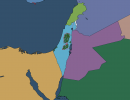
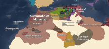
as for the borderpool, it will be on a separate layer and something you'd probably deem more extreme compared to conventional borderpools i've seen here
for comparison check out the borders in gigamap, then you'll know what i mean
 

Attachments

  • levant.png
    levant.png
    26 KB · Views: 567
The only thing remaining for my 1815-VTBAM is Thuringia ... ... which means probably 50% of the work is done
We should create "Cartographers against Thuringia" ... ... !
pSK820Thueringen.gif
 
Here it is! Finally complete (except if you find inaccuracies and improvements)

europe_after_1815_by_radicalneurodiverse_dejg0us-pre.png


Did you know, that Anhalt was divided into 3 different states at that time?
Also THICC 2.2 has not enough colors for all the minor branches and territories of Reuss-Gera ...

Also:
View attachment 649725
if you feel like subjecting yourself to the horrors of algeria, here you go

also you missed couto misto between portugal and spain
 

Attachments

  • algeria.png
    algeria.png
    459.5 KB · Views: 691
Last edited:

Crazy Boris

Banned
Also THICC 2.2 has not enough colors for all the minor branches and territories of Reuss-Gera ...

3.0 Will have everything Reuss covered, when I release it you can go back to this and add the new colors

Also, the Republic of Cospaia is missing along the Tuscan-Papal border
 
Last edited:
very nice

now do weimar borders
Here it is (I didn't add the French occupation of the Rhineland). Also this map depicts the situation of roughly 1928. As always feel free to to point out mistakes and inaccuracies.
I realized, that previous VT-BAM maps had a flawed version of the borders of the Oldenburgian enclave of Birkenfeld and the southern Rhineland. I will post corrected updated versions later.
weimar1928vtbam.png


Just realized, that I completely forgot to make Hohenzollern Prussian ... ... :cryingface:
 
Here it is (I didn't add the French occupation of the Rhineland). Also this map depicts the situation of roughly 1928. As always feel free to to point out mistakes and inaccuracies.
I realized, that previous VT-BAM maps had a flawed version of the borders of the Oldenburgian enclave of Birkenfeld and the southern Rhineland. I will post corrected updated versions later.
View attachment 650711


Just realized, that I completely forgot to make Hohenzollern Prussian ... ... :cryingface:
what the hell is that western polish border, it doesn't look normal at all
 
what the hell is that western polish border, it doesn't look normal at all
Here are two maps
A) OTL Interwar Poland (I'm somewhat insecure about some fine details, so feel free to correct me, if you spot mistakes. I guess there are certainly some mistakes/inaccuracies)
B) A fictional Lithuanian-Belarusian Union State

View attachment 576901

View attachment 576902

I used the Polish borders of my previous attempt to create Interwar Poland. Feel free to correct it. What exactly looks unusual or wrong?
 
Instead of fixing or getting a more accurate Interwar Poland (which I should work on soon), here are the Districts of East Germany/ German Democratic Republic
ddrdistrict.png


Also several minor corrections are done for the 1815 map, (I guess I should repost it soon). I guess I won't work on Morroco and Algeria, since I totally lack the knowledge for the area, and need to read some stuff to better understand the region.
 
Top