resources:modern_maps
This is an old revision of the document!
Table of Contents
Modern Era maps
Save contrary mention, the maps are using the RCS colour scheme.
† : Map or patch using an obsolete colour scheme and/or basemap
‡ : Possibly erroneous map or patch
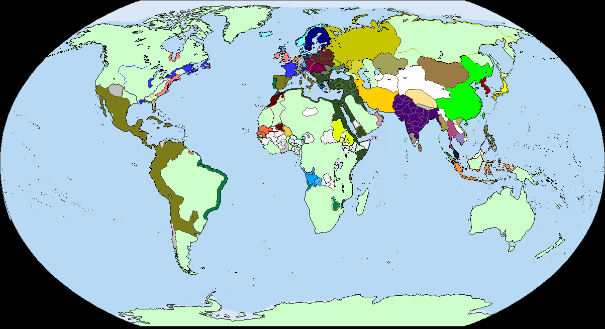
1648-1776
1650 (Updated 7/10/12)

1700 (Updated 8/8/12)
1750

1770†

Revolutionary & Napoleonic Era (1776 to 1815)
1789

1793†

1800
 —
1801
—
1801

1802

1803

1804

1805

1806

1807

1808

1809

1810

1811

1812

1813

1814

1815

Patches
African States
Several African kingdoms of pre-modern times.

United States states cessions
A map of state claims and land cessions to the United States federal government 1782-1802.

United States territorial development
 (Complete in XIXth century map databases)
—
(Complete in XIXth century map databases)
—
resources/modern_maps.1395170549.txt.gz · Last modified: 2019/03/29 15:16 (external edit)