No, they've just impartially discarded all the islands (Cuba, Madagascar, Sri Lanka, Japan, New Guinea....)
You talk as if Islands would actually exist. They don't, it's all peninsulas:
No, they've just impartially discarded all the islands (Cuba, Madagascar, Sri Lanka, Japan, New Guinea....)
Australia is indeed the land down under...You talk as if Islands would actually exist. They don't, it's all peninsulas:
View attachment 892556
Australia inexplicably being upside down and Greenland still being separate are the worst parts of this IMOYou talk as if Islands would actually exist. They don't, it's all peninsulas:
View attachment 892556
Australia inexplicably being upside down and Greenland still being separate are the worst parts of this IMO
And the Panama Channel (more than a canal )Australia inexplicably being upside down and Greenland still being separate are the worst parts of this IMO
I knew of the antipopes, but today I learned there was an exclave of the papal states around Avignon. Almost excuses the modern borders.
Yes it was a real thing but not a big blob like this map lolI knew of the antipopes, but today I learned there was an exclave of the papal states around Avignon. Almost excuses the modern borders.
It covered quite a bit more than just the town of Avignon: Comtat VenaissinYes it was a real thing but not a big blob like this map lol
Now this is a Hoi4 mod waiting to happen...Don't think it was made as educational but I don't know where else to put this one
Or an extremely daft "What If Europe and Asia swap places in ..." thread?Now this is a Hoi4 mod waiting to happen...
It's one of the DC Multiverse Earths?Definitely not meant to be educational considering it's in a Superman comic (Superman: Red & Blue #5, specifically the "Generations" story if anyone is interested) but holy hell that Earth
Why does that panel remind me of this?Definitely not meant to be educational considering it's in a Superman comic (Superman: Red & Blue #5, specifically the "Generations" story if anyone is interested) but holy hell that Earth
View attachment 894180

I was reminded of the same thing and I've never even seen that movie
Would be a good excuse, but artistic freedom works just as well.It's one of the DC Multiverse Earths?
It can go to Map Shitposting Thread though with the labels.Don't think it was made as educational but I don't know where else to put this one
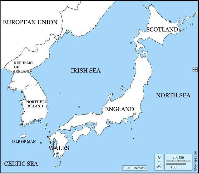
The Madagascar contingency: how to leave New Zealand out without looking like you're leaving New Zealand out.I recon that lately there has not been enough screaming and eye-gouging in this thread. Time to rectify this: