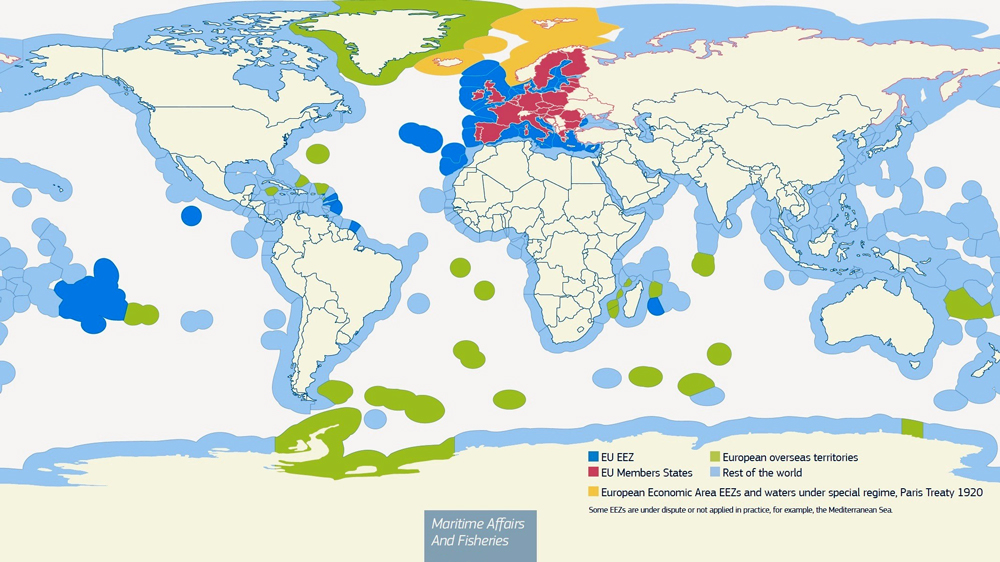
Does anyone has any historical maps that show the territorial waters of world countries before the 1982-1994 United Nations Convention on the Law of the Sea?, I am working on a 2K-BAM version of the territorial waters and exclusive economic zones (EEZ) of the OTL world as of 2024, but I also plan to make older maps dating back to OTL 1937 and 1914.
So I wonder, what did the territorial waters of world countries looked like during WW1 and WW2 for example?, I know that exclusive economic zones are a very recent concept that were only invented in that 1982 UN treaty, but about territorial waters - did most countries have a consistent concept of this, and if so, how did their territorial waters looked like back then when compared to now?, I want to avoid looking anachronistic, and if such a thing would be even accurate to make.
So I wonder, what did the territorial waters of world countries looked like during WW1 and WW2 for example?, I know that exclusive economic zones are a very recent concept that were only invented in that 1982 UN treaty, but about territorial waters - did most countries have a consistent concept of this, and if so, how did their territorial waters looked like back then when compared to now?, I want to avoid looking anachronistic, and if such a thing would be even accurate to make.
Last edited: