Acenos
Banned
ve come across these maps of lost continents and i wonder if there are any tools for me to use to distort them in order to fit in the robinson projection of the standard worlda map:
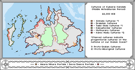
This was made using the pacific centered worlda map
This one was made using a mercator/miller projection not robinson
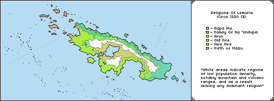
This was made using the pacific centered worlda map
This one was made using a mercator/miller projection not robinson