Leej said:
How do you do that?
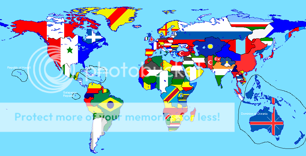
I could see how you could draw flags onto a map quite easily but you don't seem to have done that- the match is too perfect in the north.
I don't know for sure how Raymann did it, but I've done maps like this before, and this is how I did it:
(Using MSPaint)
Get the flag you want and make it big enough so that it's as big as the country you intend to fill it with.
Colour in your country a certain colour and make sure all the other countries and the sea etc. are different colours to this one.
Right-click on the first colour mentioned. Choose the 'select box' tool (top left hand corner of the toolbox). Note that two icons appear below on the left. The first shows three 3D shapes on a white box (the default), the second three 3D shapes on a transparent box. Click this instead.
Now draw a box that encompasses your country in question, copy and paste it, and drag the copy so it's over the flag. The country will be 'transparent', because Paint is treating the colour you right-clicked on as the background colour. And the flag will now only show through that country, and nowhere else. Done.
It sounds more complicated than it is.
")