You are using an out of date browser. It may not display this or other websites correctly.
You should upgrade or use an alternative browser.
You should upgrade or use an alternative browser.
A Blank Map Thread
- Thread starter Matt
- Start date
Does anyone have a map of colonial Southeast Asia and East Asia, preferably around 1900?
Source map from David Rumsey's map collection. Globe by Martin Behaim; the source map by E.G Ravenstein.
No watermark is included, but if anyone uses this, it would be polite to credit the link above.
This is a pixel editable Robinson projection of Martin Behaim's 1492 globe. There's probably a few inaccuracies with reference to the original, and I'd bet that most of them are in that Hyperborean continent. The Red Sea was colored red in the original map, and I colored it red here both because it looks neat, and because if its being used in a timeline it implies that there is something sinister and malevolent in that body of water.
I set the old world in the middle to avoid having major landmasses cut off. Unfortunately, St. Brendan's and part of Hyperborea were cut off due to the positioning of the old world. I left it because I though that particular position was the nicest looking for the supercontinent. You may disagree.
Nevertheless, all landmasses that modern geography recognizes are not cut off. Of course, the landmasses that modern geography doesn't recognize are the interesting ones, so your mileage may vary.
EDIT
Reuploaded map. Apparently a flag got represented as an island next to Corsica & Sardinia.
Last edited:
Does anyone has a large blank map of any and all borders/boundaries that have existed in North America, kinda like this 4 part map of Europe that someone made?
https://www.alternatehistory.com/fo...0-kopie-www-imagesplitter-net-0-1-png.348492/
https://www.alternatehistory.com/fo...0-kopie-www-imagesplitter-net-0-0-png.348491/
https://www.alternatehistory.com/fo...0-kopie-www-imagesplitter-net-1-0-png.348493/
https://www.alternatehistory.com/fo...0-kopie-www-imagesplitter-net-1-1-png.348494/
https://www.alternatehistory.com/fo...0-kopie-www-imagesplitter-net-0-0-png.348491/
https://www.alternatehistory.com/fo...0-kopie-www-imagesplitter-net-1-0-png.348493/
https://www.alternatehistory.com/fo...0-kopie-www-imagesplitter-net-1-1-png.348494/
Last edited:
https://imgur.com/aX1YcqCDoes anyone has a blank map of any and all borders/boundaries that have existed in North America, kinda like this 4 part map of Europe that someone made?
https://www.alternatehistory.com/fo...0-kopie-www-imagesplitter-net-0-1-png.348492/
https://www.alternatehistory.com/fo...0-kopie-www-imagesplitter-net-0-0-png.348491/
https://www.alternatehistory.com/fo...0-kopie-www-imagesplitter-net-1-0-png.348493/
https://www.alternatehistory.com/fo...0-kopie-www-imagesplitter-net-1-1-png.348494/
I have maps like this for all continents. Tell me if the image is too jpegd. It's pretty big and most sites have issues with it.
https://imgur.com/aX1YcqC
I have maps like this for all continents. Tell me if the image is too jpegd. It's pretty big and most sites have issues with it.
Oh that one is perfect! Do you have a larger version of this? I can merge parts if needed.
https://imgur.com/a/SIGkvOh that one is perfect! Do you have a larger version of this? I can merge parts if needed.
sorry about it being 12 parts. Imgur cant handle it if its bigger
https://imgur.com/a/SIGkv
sorry about it being 12 parts. Imgur cant handle it if its bigger
Not a problem at all. Thanks!
Hey, I thought I would contribute, so you guys know about the site Geacron? they basically are an online atlas that shows the borders of the world from 3000 BC to 2017 AD, I took the northern africa-Europe-middle east chunk of the map and made a blank template version for everyone to use. Expect more coming soon!
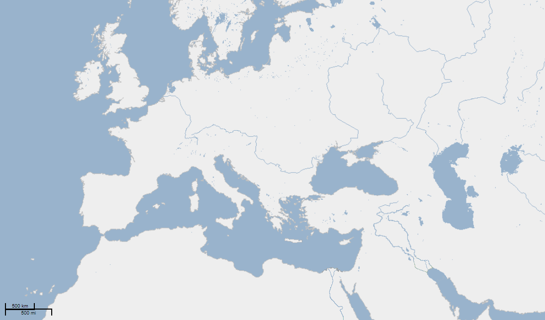
Hey, I thought I would contribute, so you guys know about the site Geacron? they basically are an online atlas that shows the borders of the world from 3000 BC to 2017 AD, I took the northern africa-Europe-middle east chunk of the map and made a blank template version for everyone to use. Expect more coming soon!
GeaCron is innacurate as fuck.
https://imgur.com/aX1YcqC
I have maps like this for all continents. Tell me if the image is too jpegd. It's pretty big and most sites have issues with it.
Yanranay, sorry to bother.
You said you have maps like this for all continents.
If that is not too much to ask, would you be so kind to publish parts in imgur, as you did for those of North America, for all continents, with the same resolution as those you have already posted, or point me to anywhere in this forum where you have already done that?
Also, and I hope I will not be abusing my welcome here by asking, do you have Oceanic (Pacific, Atlantic and Indian) islands as well (whole oceans would be awesome)? And, what about North Passage and Antarctica? Do you have maps that stretch all the way to 0 degree South and 0 degree North?
Again, I apologize in advance if I am asking too much, but I took as my holiday project this year to build a very huge world map for an alternative timeline I use as background to build my dioramas and play with my table miniatures and your maps would be perfect as base maps for this. I only joined this forum after finding, on Bing, your answer to this thread.
If I remember correctly the map is part of a DH mod so Antarctica and northern America and Siberia aren't included on the maps.
You can find paradox maps that include these parts on moxns deviantart so maybe you could overlay them: https://moxn.deviantart.com/art/Blank-World-Map-Borderless-565414843
Africa: https://filetea.me/n3wAxZDYddtQoC2liuacGB6xw
Asia: https://filetea.me/n3wmpWv6GXAQvCTJ58Z4xtAEw
Europe: https://filetea.me/n3wmT9PbW1OQ8C8pO4uQXHxWQ
North America: https://filetea.me/n3w3xiPkdMyTkxFZKQfDUxAAA
Oceania1: https://filetea.me/n3wv23OkGnPQIOUABqfbxdSbA
Oceania2: https://filetea.me/n3whc3ixC3KSGaFIo1GsZMhNg
South America: https://filetea.me/n3wa8azKUQ3TQGsyi8ahDZgrA
World: https://filetea.me/n3wUKV6xwQkQdmzs6phRFoeFg
If these links don't work I'll try uploading them somewhere else.
Thank you very much, Yanranay, for your prompt response.
I think those will suffice my needs for sure and I will add Antarctica and the North Passage by myself.
I will also have to fix the many islands in Southernmost part of South America that are always missing in any map that is not straight GIS.
Thanks again for all your help.
Last edited:
I can't see them for some reason.If I remember correctly the map is part of a DH mod so Antarctica and northern America and Siberia aren't included on the maps.
You can find paradox maps that include these parts on moxns deviantart so maybe you could overlay them: https://moxn.deviantart.com/art/Blank-World-Map-Borderless-565414843
Africa: https://filetea.me/n3wAxZDYddtQoC2liuacGB6xw
Asia: https://filetea.me/n3wmpWv6GXAQvCTJ58Z4xtAEw
Europe: https://filetea.me/n3wmT9PbW1OQ8C8pO4uQXHxWQ
North America: https://filetea.me/n3w3xiPkdMyTkxFZKQfDUxAAA
Oceania1: https://filetea.me/n3wv23OkGnPQIOUABqfbxdSbA
Oceania2: https://filetea.me/n3whc3ixC3KSGaFIo1GsZMhNg
South America: https://filetea.me/n3wa8azKUQ3TQGsyi8ahDZgrA
World: https://filetea.me/n3wUKV6xwQkQdmzs6phRFoeFg
If these links don't work I'll try uploading them somewhere else.
You have to download them. Can you not see the entire page?I can't see them for some reason.
No, I can't see it at all, and I can't download it.You have to download them. Can you not see the entire page?
No, I can't see it at all, and I can't download it.
https://mega.nz/#F!wYJQGLwL!gx0thpVFzQZb8YJ4CqKqMA
This should be more permanent.
I hope there is not rule against posting mega links here. I've looked at the forum rules and couldn't find anything that prohibits it. If so I'm sorry, I'll go on to delete this post.
Share: