that could be really useful to some people.It's not the best, but I had to do it for a school project, and well, I thought it was Ok. It's a map of OTL languages. I know, boring, right?
awesome.

that could be really useful to some people.It's not the best, but I had to do it for a school project, and well, I thought it was Ok. It's a map of OTL languages. I know, boring, right?
Though not the Estonian islands. (alright, it's two pixels, that's basically the definition of nitpicking)Ok, fixed the Estonian problem:
I found this batshit crazy thing I must have conjured up while drunk, in the dark depths of my flash drive...I'm not sure if its going to cause people to reach for forks or bask in its sheer awesomeness or both.
Gentlemen and 1 or 2 Ladies....I present...HOLY ROMAN EUROPE
Work in progress.
Possible spread of horses given a Vinland colony that becomes permanent c. 1030 and which becomes large and viable c. 1120.
The World 1920
Ok, fixed the Estonian problem:
Very nice Venice very very nice
Mommmy!
That's a good languages map Venice.
Excellent map Venice.
While that map is awesome on many levels...
IS THAT A BRITISH RUSSIA????
Gentlemen and 1 or 2 Ladies....I present...HOLY ROMAN EUROPE
Another very nice map.
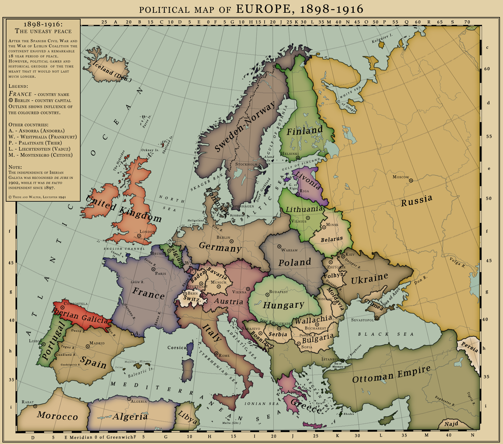
Would Baden really still just be called that if it also included Wuerttemberg?
How come Denmark is labeled such and has Copenhagen marked as a capital when it looks like it's part of Germany?
Perhaps a lighter shade of gray would do the trick?Yeah, that's one of the problems I had with this. Denmark is only the islands and Iceland, and they are technically only outlined in German colour (puppet state), but the outline is so thick that it doesn't show that there is no fill.