Hey, in case you didn't know Turkey has 3rd level administrative divisions that we call "neighborhoods". Afaik there is no finished complete map of neighborhoods in Turkey in the internet. Mostly because they are so small for a map's scale and need a lot of work. Other than this site, Google Maps' datas and individual maps on internet, I don't think you could find more if you don't research and make a map yourself. Btw, you can't show majority of neighborhoods even in VT-BAM other than 1 pixel for each one, and 1 pixel for 10 neighborhoods in urban areas. So yeah, it wouldn't fit for that kind of maps and uses. I rendered regions of Turkey with that neighborhood data. I used that site and QGIS program. Whole Turkey map render is can't show every neighborhood properly even in 50k pixels. Every region map is about 19-20k pixel resolution. Nearly all of neighborhoods can be seen and can be editable properly enough. Though, some little urban areas like Izmir's Konak county, the neighborhoods there are so small and need even bigger renders. Although its the only issue i noticed, rest of the neighborhoods is big enough. I created 4 type of renders.
1. (Full): Country border + Province border + County border + Neighborhood border
2. (İl/Province): Province border +Neighborhood border
3. (Boş/Blank): Neighborhood border
4. (Ülke/Country): Country border + Neigborhood border
I also want to render city by city, with this way the image can be smaller and properly show all the neighborhoods. I also want to render those with same map scale, so you can merge the images perfectly.
Links:
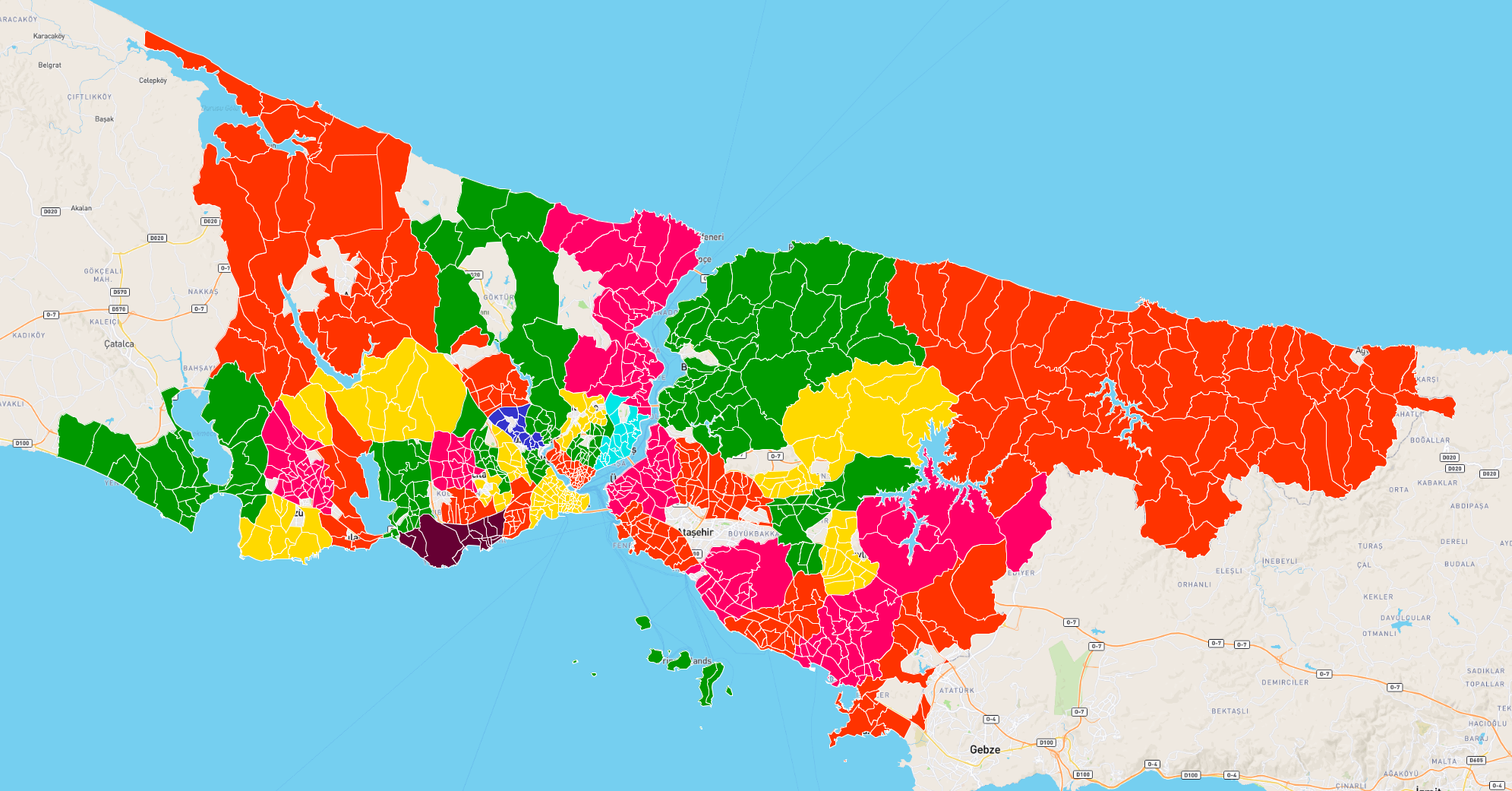
A small screenshot for what those look like:


1. (Full): Country border + Province border + County border + Neighborhood border
2. (İl/Province): Province border +Neighborhood border
3. (Boş/Blank): Neighborhood border
4. (Ülke/Country): Country border + Neigborhood border
I also want to render city by city, with this way the image can be smaller and properly show all the neighborhoods. I also want to render those with same map scale, so you can merge the images perfectly.
Links:
A small screenshot for what those look like: