Something from the "What Might Have Been" series: still a bit uncertain as to how to split up South America.

You are using an out of date browser. It may not display this or other websites correctly.
You should upgrade or use an alternative browser.
You should upgrade or use an alternative browser.
WIP Map Thread
- Thread starter B-29_Bomber
- Start date
-
- Tags
- work in progress
w.ethnia.org and worldstatesmen.org are pretty good recourses if you are interested in researching southern African statelets. Depending on when your map is set I could also see the influence of Zanzibari traders and slavers extending very deeply into the Congo leading to more despotic trader states like Tippu Tips empire. This could lead to some very interesting cultural exchange between Islam and traditional African religion (for example see the Maji-Maji rebellion and Sufism in Tanzania)Here is a map I have been making for ages. It is a scenario where the world is less colonised (Colonialism still happened in some parts). Any advice?
Also maybe reconsider the Lakes in modern-day Zambia and Egypt. They only came into existence in the last 75 years after damming the Nile/Zambezi.
Are these books the series where one of them has Gandhi as Rambo for the cover?Something from the "What Might Have Been" series: still a bit uncertain as to how to split up South America.
View attachment 540922
Then where can I post them exactly, if this is not the correct sub-forum? Once I know where, I'll take them down and transfer them. I'm kind of new here, to be frank. Sorry.@Elijah326 is this really the best place for this?
Last edited:
ST15RM
Banned
if you want a place to have them you can create your own thread here.Then where can I post them exactly, if this is not the correct sub-forum? Once I know where, I'll take them down and transfer them. I'm kind of new here, to be frank. Sorry.
How can I exactly create my own thread? Please show me, step-by-step.if you want a place to have them you can create your own thread here.
How can I exactly create my own thread? Please show me, step-by-step.
View attachment 541137
I'm once again asking for your opinion and feedback.
I’m not sure about the scale of the whole map but it seems rather large if this is a close up, i’d Consider making city names larger, it would both be more realistic and make it easier to read
Thats a good point. I generally feel conflicted about the big amount of „empty space“ on the map. But then these are areas with a very small population density and few urban centers. The finished map will also cover almost all of sub-saharan Africa so I want to keep some sort of consistency between large costal towns like Lagos and the smaller hamlets inland. I‘m also trying to have a bit of hierarchy between town, province and polity labels, which complicates this even moreI’m not sure about the scale of the whole map but it seems rather large if this is a close up, i’d Consider making city names larger, it would both be more realistic and make it easier to read

I‘ll definitely play around with larger font sizes though!
Are these books the series where one of them has Gandhi as Rambo for the cover?
No, that's a different series of AH collections by Mike Resnick, not Benford.


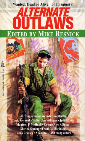
Those covers all look very interesting.No, that's a different series of AH collections by Mike Resnick, not Benford.
View attachment 541042
I don't think anyone had ever done that, but anyway, a pixelated Runeterra map from LoL
Well, labels and position of cities and ruins
Time for another in a long line of project's which will undoubtedly go unfinished.
Time for another in a long line of project's which will undoubtedly go unfinished.
That's a big mood.
It's a really nice map though. What's the premise? Is this union Spanish? Bolivarian? Something else?
Share: