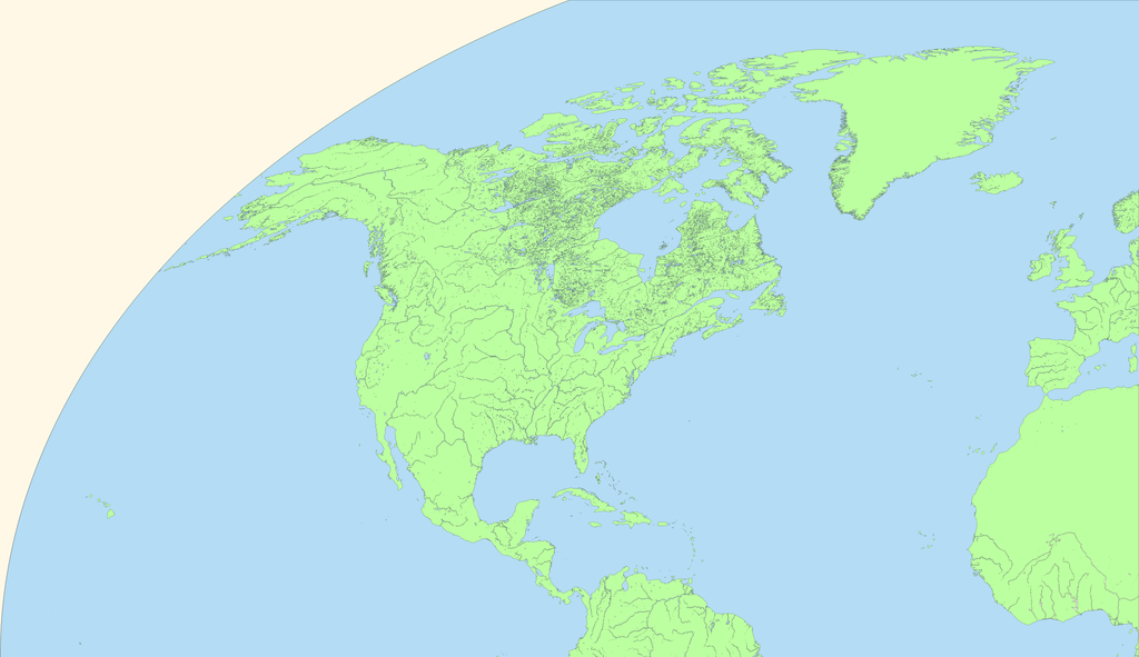
http://ashtagon.deviantart.com/art/K7-Water-NW-657641279
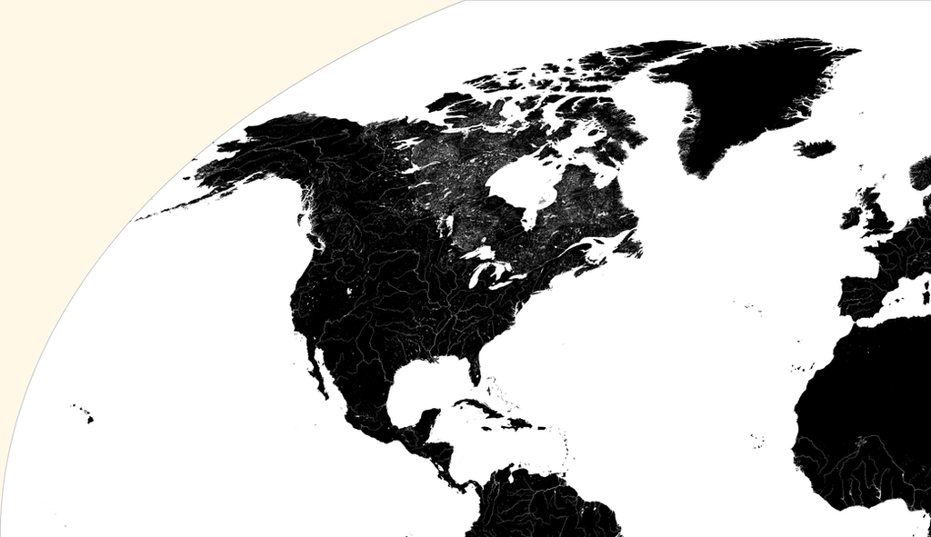
Part of my long term map making goal is to make a high resolution map of the world. I favour Kavraisky VII projection because the formula to determine what any given pixel is is really simple, so I can either use g.projector to make projected versions (as above) or (eventually) use a combo of a spreadsheet and google earth to determine where on a globe a pixel is and read the terrain and political ownership off a real world map.
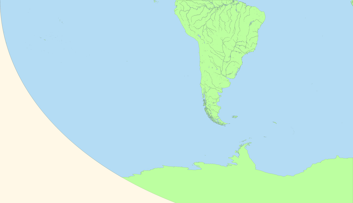
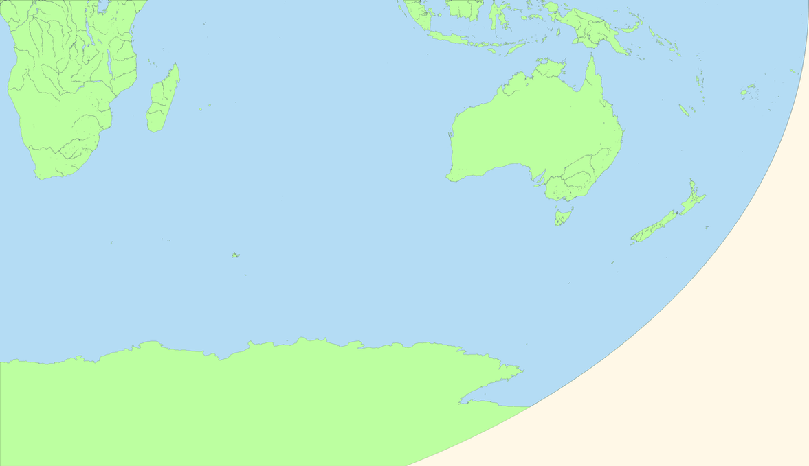
But that step is not yet. Phase one involves making abase map. Due to hardware limitations, I will be working on one quadrant at a time, starting with the north west part.
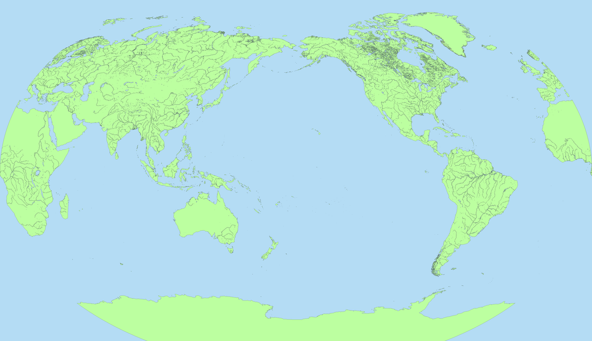
When making my maps, I use the following shortcut names for the projections.
- K7a: Kavrayskiy VII, normalised to a width of 1250 pixels
- K7b: Kavrayskiy VII, normalised to a width of 2500 pixels
- K7c: Kavrayskiy VII, normalised to a width of 5000 pixels
- K7d: Kavrayskiy VII, normalised to a width of 10,000 pixels
- K7e: Kavrayskiy VII, normalised to a width of 20,000 pixels (the linked map above)