Tallest Skil
Banned
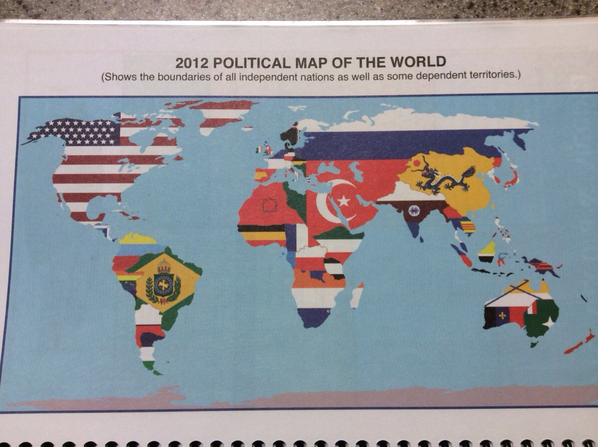
It’s not educational, but it’s horrible. This one’s from a game magazine.

For those who can’t tell, that’s the USA.
For those who can’t tell, that’s the USA.
It's the United States of America, Northern Mexico, Ontario, Acadia, and Cascadia.It’s not educational, but it’s horrible. This one’s from a game magazine.
For those who can’t tell, that’s the USA.
And Squidland.It's the United States of America, Northern Mexico, Ontario, Acadia, and Cascadia.
Yay, I remember that beach ball! It was 1999, and in southern Spain we met some tourists who almost (or really? don't remember) got denied entry into Morocco for having that in their luggage, and we were laughing because so much worse mistakes in Europe especially their "Austria", so the independent West Sahara would be a really small mistake, and the Chinese who made that certainly had no thought of fostering separatism, and neither had the tourists who bought a cheap ball...I found this:
AUGH WHYit gets worse the more you stare
View attachment 279078
It's so bad it's killing itself with fire.it gets worse the more you stare
View attachment 279078
No, I liked Spain and Italy being French.Is it just me or did Risk board game map always make you rage internally
not because of borders, but because of how britain big and everyone shifted a bit and Antarctica gets cut off [the worst part]Is it just me or did Risk board game map always make you rage internally
It had the same fate as the Aral Sea, it just dried outWhat happened to the Black Sea?
Wow. Whoever made this just failed at history. Or they believe that the North American Union is a real, existing thing...or the US just took all Mexico in 1848, and Cuba, Hispaniola, Bermuda, and the Bahamas were annexed into the US to this day, Australia is a divided continent, Norway-Sweden still exists, Finland's still a part of Russia, France still holds the Netherlands, Switzerland, and Northern Italy, Germany's even smaller but holds the Prussian Gold Coast, a giant German African colony, Tanganyika is still Prussian, France has Cameroon and CAR, the Guyanas are part of Gran Colombia...wow. I can't even keep going. It kind of hurts.
Behold this pudgy nightmare.
http://www.martingrandjean.ch/wp-content/uploads/2015/09/MinardMigration.png
it gets worse the more you stare
And Squidland.
"You maniacs! You melted it up! God damn you! God damn you all to Hell!"r.i.p Antarctica
This must be from a badly written ATL..
Also, Randomid Caliphate for the win!!!
Good Lord. The Arabian Peninsula looks like a scrotum.This one is rather painful (then again, it is from a site called biblescience):
Independent States. It's basically "ex-USSR countries come together".
Not educational, and I'm sure not intentional, but there is something seriously wrong with Google Maps.
View attachment 280314