MCXII - Map 6 - South America/Camarina

Map Continuation XII

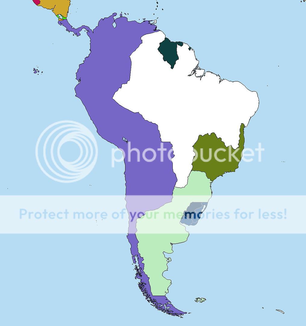
Map 6 - North America/Camarina

The moderators are Gandavian, ImmortalImpi and myself. We have the right to modify borders where we believe it will improve the map, and we have the right to smite the unworthy from the face of the world. Grayed out areas on the maps are other continents, and cannot be claimed. Borders should be black and one pixel thick. File must be saved as a .png. Dot not post a map until the claim above you has been posted, unless the claim specifies an area where you won't interfere.

I'm not going to be claiming in this one. Enjoy!

09peb.png
 
Union of Camarian Emirates

Founded by an Arabic Trade Company that was funded by multiple states. Also supports a large Granadan Refugee Population in the Central areas. Communist*.

Camarian Islamic Union.png
 
Last edited:
Claiming now.

Let's edit our posts to put the maps in so as to maintain the order.

The Empire of Peru. The Empire.

pfJJo.png


The Longcat of countries.

I would like to point out that there are vast amounts of claimable land left, all of which is much more valuable than the huge expanse of northern Briania. Also, I am perfectly willing to compromise on the further-out territories, but please, don't just cut it down immediately just because "it's too big." I have plenty to say about why it is perfectly plausible and reasonable, as well.
 
Last edited:
The Republic of New Erytheia

Although it has some Distributist leanings, Erytheia has tried as hard as possible to remain a face of neutrality in international conflicts. Due to this, the nation's capital is typically used as a meeting grounds for international conflicts. At the cost of a strong military, the nation enjoys economic prosperity and stability. It's enemies are almost non-existent.

YYknA.png
 
Last edited:
Claiming...

---

Republic of Tupi-Parana, the newest battle field between the Paleo-Envirnonamentalists and the Aristogogics. They are so divided, and each side loves so much their sides, that they will be unpleasantly surprised when they discover that none of the ideologies will solve none of their problems. Will post more about it later.

sa_mc12.png
 
Last edited:

Sumeragi

Banned
So...no cries of outrage about the size of Peru? I'm pleasantly surprised! :p
:mad::mad:Outrage:mad::mad:

Just kidding :p:D

However, to be serious, I think you need to tell us why Peru has that bulge in the middle. It doesn't seem logical from a geographic point of view.
 
It's continuous; its size has been already explained; most of its lands are quite 'bad' for agriculture etc; and it's smaller than the Aristogogic Collective. I can't complain.
 
:mad::mad:Outrage:mad::mad:

Just kidding :p:D

However, to be serious, I think you need to tell us why Peru has that bulge in the middle. It doesn't seem logical from a geographic point of view.

It encompasses the Andes range and extends into areas in OTL Argentina and Paraguay, which provide fertile agricultural land. The easternmost border is defined by the Paraguay river.

andes-mountains-map.jpg
 

Sumeragi

Banned
It encompasses the Andes range and extends into areas in OTL Argentina and Paraguay, which provide fertile agricultural land. The easternmost border is defined by the Paraguay river.
Well I don't know. I think it would be better if you kept to the Andres and then have the land south of the Colorado River, leaving the Pampas for other nations.

Camarina.PNG
 
Last edited:
Top