(WIP) Modern day Central Powers victory scenario

export202303081316169772.pngworld map one
(sorry for my bad england beforehand) I'm making a modern day ww1 central powers victory scenario. I'm using Ulyanovsk's 1914 map as base map (full version here, thanks him/her very much for sharing it with me). Borders, colors is not final yet but its pretty much will remain similar. The little lore is; most of the events before and during WW1 is happened same way in OTL. Russian civil war happened, ottomans got invaded through iraq and palestine etc. Finally, central powers won the war by a late date victory (like in 1918, spring offensive or something like that). I haven't finalized the lore yet, so questions like "was there a french civil war and regime change after the war?", they are not clear yet. This because i mainly focused on modern day borders rather than a story/lore writing. There are events/wars like for bulgarian and hungarian ones but i haven't finalized their dates, details for the reason I stated.

So, for some questions and its answers:

-What happened to Russia, who won the civil war?
+Whites. It wasn't a random decision tho, Neither Allies or Germans like the bolsheviks and wanted a communist state. From both sides help? and without the eastern europe falls into bolshevik's hands after Germany's surrender like OTL, Whites won the civil war.

-What happened to A-H?
+A-H didn't dissolved after the war, it happened after few years-decades. By that time they made significant progress towards federalization, but Hungarians didn't like that. They didn't wanted to share the crown with a 3rd (Croatia) and give away-give autonomous to minority areas of lands they control. Finally, the Hungary left the federation with it's big hungary borders. As you can imagine, they weren't that gentle towards to minorities, so with minority protests/insurgencies and the other countries involvement, the big hungary downgraded to in the map borders. New states were established in regions where there was no absolute majority, for example Banat and Transylvania. Especially Germans wanted this too, with that way they can influence the balkans more easily.

For Galicia and Lodomeria, Germans wanted it stayed as a individual state. But long time irredentism, clashes inside country from both sides and weakening German influence over the related countries eventually led to dissolution and annexation of the country's lands.

About Austria, after the dissolution of federation, weakening it's influence over member countries and the Germany's and the vast majority of public's desire to unite with Germany led to unite with Germany.

-What happened to Ottomans, why the long Turkey?
+ Ottomans didn't dissolved after the war, in fact, they survived more than A-H. This because is victory in the war and German help to tidy up the country after the war. One more factor was oil too. After the war, with the results of Arab revolt and last period Turkish nationalist government in Ottoman Empire, they somewhat gave some autonomy to minorities, especially Arabs, and the empire started liberalise. Long story short, with the (ofc) influence of great powers (mainly britain, france and u.s.) and disagreement between Turkish and other ethnicities, Turks supreme and repressive attitude towards minorities and general nationalist and liberalist trends on the world eventually led to dissolution of Ottoman Empire. However the dissolution happened with more of agreement based than a military conflict one. Turks got the strategic and holdable areas for themselves.

Btw about armenia and azerbaijan, after the ww1 ottomans annexed both of them. Its not a suprise, the Ottoman government then was Turkic nationalist and in favour of that. The one thing that always confuse me is, in most WW1 central powers win scenarios Ottomans or azerbaijan doesnt get the south azerbaijan. In OTL, they captured the south azerbaijan, so i dont know why people doesnt give it to them, probably because of lack of knowledge (im not judging or mocking it).

-Bulgaria, balkans
+After ww1, bulgaria got the lands they promised before. They basically treated minorities in that lands repressive. Same story as Hungary, eventually they evolved to current map borders. About albania, first they got albanian lands from bulgaria, after that there was Albanian insurgency in Serbia, Kosova. After some clashes, with the supervision of great powers which mainly is germany, they got a agreement which defines to current map borders of two nations.

-What about outside of Europe?
+Nothing much interesting about border changes. Japan fights with China same like OTL and lost it. North and South America's borders is nearly same as OTL, maybe the 100% same. Africa would be mostly same with even exchange of colonies (im talking about modern country border changes in this paragraph). Aside from middle east, central asia, asia is would be mostly same as OTL too.

Cuz of its WIP, i still will change and renew some borders and colors. Like in central asia, you see its the OTL borders, which will i change it. Western border of germany, i drew it blindly (aimed for briey basin and western slopes but yeah, i definitely renew it). Middle east borders, iraq, palestine and hijaz mainly, also add other countries to there too. Don and kuban republic borders. Slovakia and transylvania needs some little touches too.

Btw with the few exceptions above, I placed great emphasis on border accuracy (never heard 'placing emphasis' btw, thx to google translate). So you can ask me questions and recommend advices like: "why this border is 2 pixel left" or "would'nt it better to use 1834 border instead of 1835". I am and will looking forward for even smallest graphic changes.

Im currently on mobile, i will convert this project with some tool like QGIS or another one to a nice looking map. Also planning to expand and detailing the lore alongside the map changes. Especially as i write, i tired so english translations may be bad and lazy. Maybe i edit it later.
 
export202303100038265849.png

world map
Fixed Germany's and Georgia's western borders, renewed Central Asia. Thinking about if i should create a Central Asia/Turkestan federation.
 
Some notes about borders:

-Russia owns Tuna. Tuna choosed Russian Protectorate instead of Chinese, and in Russian Civil War they didn't liked bolsheviks and joined Mongolia, China (with Chinese influence too) OTL. ITL, bolsheviks didn't win, so they either didn't join Mongolia in first place or joined and annexed by Russia in a later date, like in Sino-Japanese War.

-Russia owns Sakhalin and Most of Kuril islands. Japan annexed Sakhalin in Russian Civil War, At the end of Sino-Japanese War, Russia occupied both islands.

-Pakistan owns Kashmir. Since there is no WW2, the partition of India was some different. Jammu Kashmir joined the Pakistan because of their Muslim majority, altough I dont know much about the subject, so like OTL they could join India too.

-East Turkestan/Uyghur and Tibet are independent. There is no Communist China (which invaded both OTL), also Ottomans, Central Asian nations and Russia helped guaranteeing the independence of East Turkestan. For Tibet, since they don't control East Turkestan, they wouldn't make a wide invasion around it, also China was exhausted after the Japanese war and communist insurgencies, and after all they thought it wasn't worth it and didn't invade Tibet.

-Libya looks weird because it has this borders with alongside the Egypt. OTL Libya's borders mostly created by Italy, France and Britain, look at this map and its description below. Those border agreements mostly referred as "Compensation to Italy because of partition in WW1". So ITL, Britain and Ottomans obey the same straight border in south, France and Ottomans make bordef changes according to that line and Libya'a other borders are mostly determined with same border changes as OTL.
 
gzYoqMD.png
Updated base map to latest qbam patches, now borders and lakes are more accurate. Only difference is I kept the Aral Lake (since there wasnt a soviet union who screw it). The next patch probably will be about coloring and fixing the conflicting areas caused by updating base map.

Btw the reason of slow progress is lack of motivation and I'm on mobile. Since there isn't a tool -as far as I know- like recolor in Paint.net in mobile, the progress is slower than pc. I use pc sometimes and will use it again for correcting and editing colors in the next patch.
 
Last edited:
PVpQtiU.png
Fixed lake colors. Completed Africa, now just Pacific Islands left which I don't think I'm gonna work on it in near future. Now I'm gonna recolor the countries.
 
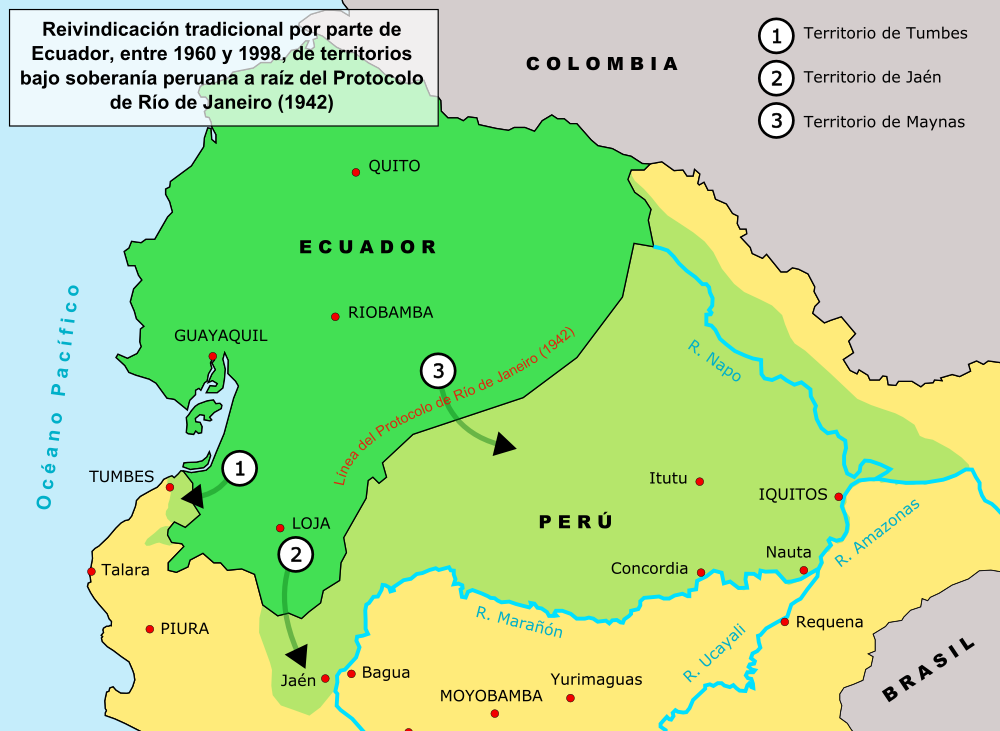
There is scope for a little difference in South American borders with a WWI related POD
Ecuador and Peru? I dont know much about the subject, can you give more details about it?
were there something similar to OTL Roaring 20s after WW1
I didn't think about that, and I don't know much about it, so I can't say anything.
also why Lithuania is not long like it was supposed to be
They were long as OTL before. Germany OTL didn't recognized Belarussian State, but after they decided a strong Belarus will benefit to them against Russia (OTL some lands that Belarus claimed was being controlled by bolsheviks, after WW1 with German help they gained control over that lands -like Smolensk-). Belarussian lands that Lithuania controlled before was Belarussian majority and claims of Belarussian State. There were none to little Lithuanian majority/minority. Also Belarussian State had claims on Vilnius too, so in exchange of that areas Belarus revoked the claim.

Another reason was please Belarussian population and authorities to be more loyal to Berlin.

So basically because, Lithuanian minority-absence, Belarus majority, easier control of that area, Germany's strong Belarus desire against Russia.
 

But also between Paraguay and Bolivia:

Oh I see. As far as I know the controlled areas in Peru and Ecuador at the time was pretty close to the current borders. Chaco war seems like happened in 1930s and i don't have much knowledge about this topic, so i don't know how does a Central Powers victory would effect that war or any border changes about it. So currently i leave them unchanged. However if you think different and tell its reasons i can of course edit the borders.
 
Top