I'll check that out then.The current version doesn't have rivers, unfortunately. You have to draw on your own. Alternatively, you can ask the historical maps thread.
You are using an out of date browser. It may not display this or other websites correctly.
You should upgrade or use an alternative browser.
You should upgrade or use an alternative browser.
The Q-BAM Improvement and Core Thread
- Thread starter iori
- Start date
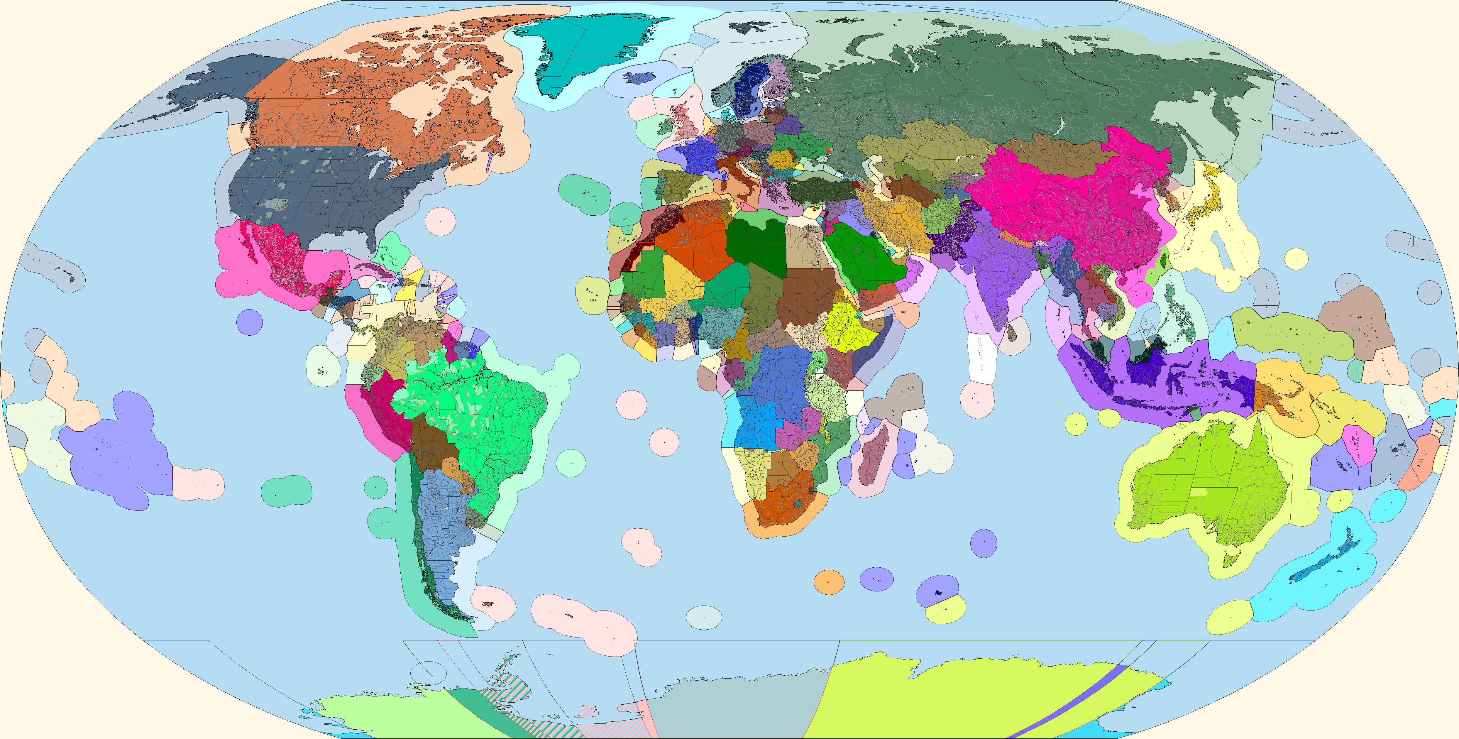
Hello guys, I have been working in a definitive blank map for a while (if this is possible) and I have noticed that nobody has added the Rann of Kutch, I know that most of it is salt pan and marshes, but I think there are two lakes who has water all year, am I wrong? Should it be added to the base map? or better I remove it from my map?
Attachments
Question regarding Venezuela. There are borders that follow the Orinoco River that shift between provincial border and terrestrial border. I wanted to be clear that this is intentional and not a relic from the early days of the QBAM having an inconsistent color scheme. If the regions in question are intended to be wholly black, as to indicate larger sections of the river that could denote lakes, then the issue is moot. However, if the length of those borders is intended to be entirely the coloration of the provincial border, then I can make a quick change to that, as I am already working on something pertaining to the region.
Since the river is quite wide in some places, and there are "lakes", those coastline-colored lines are actually meant to represent that. The same happens in other big rivers like the AmazonQuestion regarding Venezuela. There are borders that follow the Orinoco River that shift between provincial border and terrestrial border. I wanted to be clear that this is intentional and not a relic from the early days of the QBAM having an inconsistent color scheme. If the regions in question are intended to be wholly black, as to indicate larger sections of the river that could denote lakes, then the issue is moot. However, if the length of those borders is intended to be entirely the coloration of the provincial border, then I can make a quick change to that, as I am already working on something pertaining to the region.
I figured as much. But I wanted to make sure of this before I wantonly recolored them without regard for their purpose for existing at all.Since the river is quite wide in some places, and there are "lakes", those coastline-colored lines are actually meant to represent that. The same happens in other big rivers like the Amazon
does anyone have the newest version of the blank map?
View attachment 477489
Hopefully this is what you're looking for?
Fin. Do note that Peter I Island, the western Hawaiian Islands, Wake Island, and the Balleny Islands were in the wrong place and were thus moved in this map.
EDIT: Fixed the Turkmen-Uzbek border snafu.
These two should suit your needs
Fin. Do note that Peter I Island, the western Hawaiian Islands, Wake Island, and the Balleny Islands were in the wrong place and were thus moved in this map.
EDIT: Fixed the Turkmen-Uzbek border snafu.
Amazing map. Does anyone have this map, with those same internal borders, rivers, lakes and the coastal economic zones but blank?
And if is not heretic to ask: Perhaps someone will have a larger resolution like 8k or 12k?
By the way, do you think the Q-BAM is now more accurate than before with the correct position of islands and continents ?
https://www.deviantart.com/ashtagon/art/The-QBAM-is-wrong-637548686
It seems you already have a discussion about this subject, so i just want have confirmation the problem was solved and everything will be fine for me
Thank you
Edit : Question answered, so don't pay attention to my message
https://www.deviantart.com/ashtagon/art/The-QBAM-is-wrong-637548686
It seems you already have a discussion about this subject, so i just want have confirmation the problem was solved and everything will be fine for me
Thank you
Edit : Question answered, so don't pay attention to my message
Last edited:
Hello guys, I have been working in a definitive blank map for a while (if this is possible) and I have noticed that nobody has added the Rann of Kutch, I know that most of it is salt pan and marshes, but I think there are two lakes who has water all year, am I wrong? Should it be added to the base map? or better I remove it from my map?
I am interested about your definitive blank map and i hope you will release it soon
Can you add rivers too please ?
Or else, i'm asking for the most updated world map of rivers this thread have
Not sure if this is the right thread, but is there a topography qbam anywhere?
It has been basically 60 days since I last posted anything which contributed to what I volunteered to do. I'm sorry, I got distracted with historical qbams and just real life stuff. I'm getting back on it.
Yes, that last patch is Heilongjiang (plus Hebei, Shandong, and Beijing).Heilongjiang.
Should be nice to see all of the China updates on one map. It'll make depicting the ethnic groups of the country easier given the myriad autonomous counties.Yes, that last patch is Heilongjiang (plus Hebei, Shandong, and Beijing).
On the Q-BAM, we've likely reached the maximum (maybe except in Norway and Romania). We'll have to work on the rivers by now.Should be nice to see all of the China updates on one map. It'll make depicting the ethnic groups of the country easier given the myriad autonomous counties.
Should be nice to see all of the China updates on one map. It'll make depicting the ethnic groups of the country easier given the myriad autonomous counties.
China and claims (due to its extensive claim in the South China Sea, all of the Philippines would be shown)
Also, bonus: Districts of Sevastopol and Sochi, as well as a separated Maykop from Maykopsky District and Kerch from Lenine District

The districts of the former are barely visible at this scale, but is moderately okay in the latter.
Edit: Another bonus: Beloretsky District, Bashkortostan

The districts of the former are barely visible at this scale, but is moderately okay in the latter.
Edit: Another bonus: Beloretsky District, Bashkortostan
Last edited:
Share: