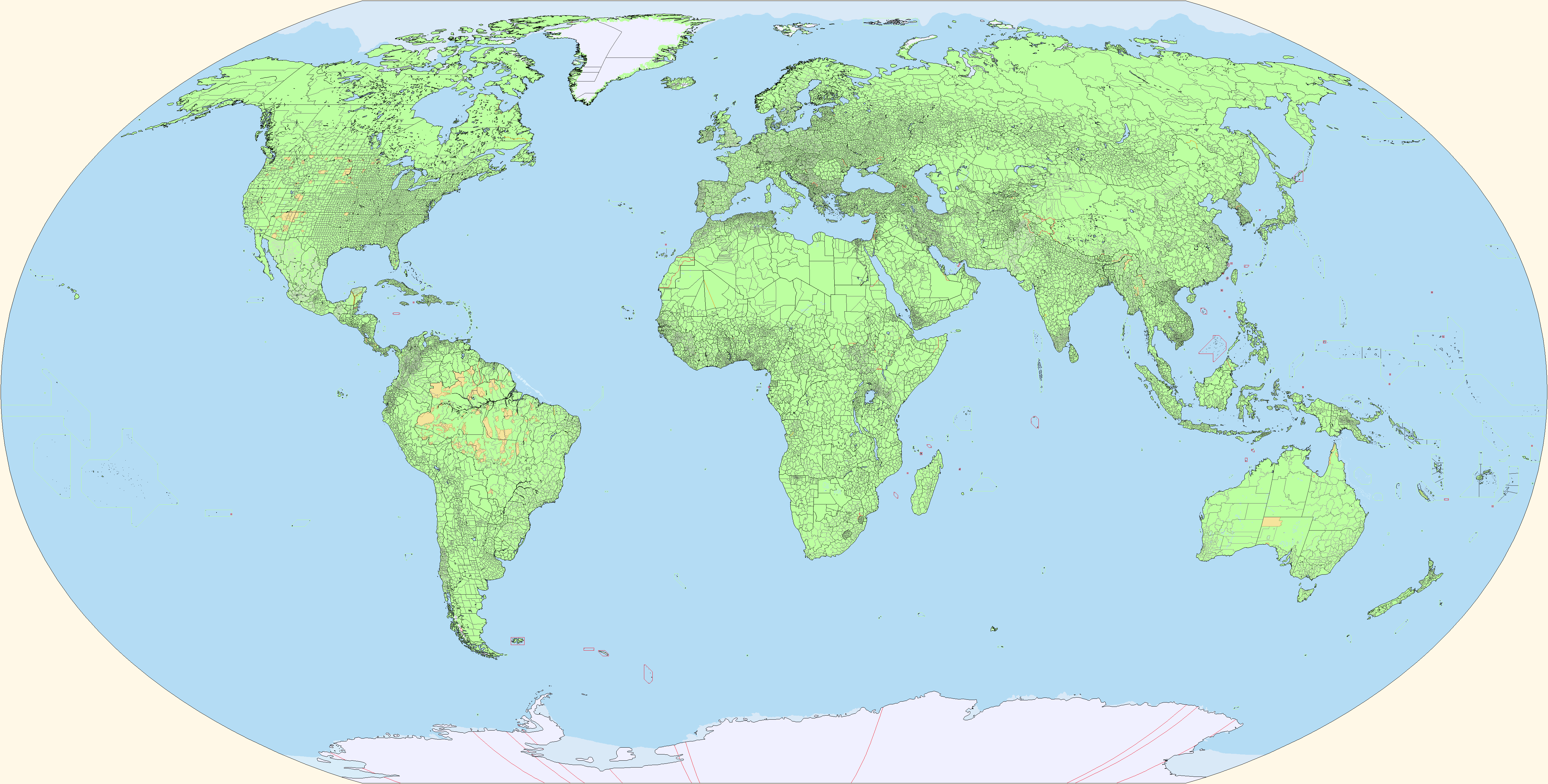
No, but I think I have a map somewhereSuper useful. Have you done a map before Operation Barbarossa?
Internal borders don't matter, just external map
You are using an out of date browser. It may not display this or other websites correctly.
You should upgrade or use an alternative browser.
You should upgrade or use an alternative browser.
The Q-BAM Improvement and Core Thread
- Thread starter iori
- Start date
No, but I think I have a map somewhere
Perfect, do you know what date this is? East Africa seems very whole for June 1941, same with Yugoslavia though looks like Iraq already fell to the British.
I think it's from the brief period of time between the fall of Iraq and the invasion of Vichy Syria, likely early june 1940.Perfect, do you know what date this is? East Africa seems very whole for June 1941, same with Yugoslavia though looks like Iraq already fell to the British.
Two minor patches for the Channel and Spratly Islands. Jersey was a little bit off, so fixed it, and properly split Jersey from Guernsey, as they are two separate territorial entities and should not have shared a block together. Also changed the blocks around the Spratly Islands to better reflect the six-way dispute of the archepeligo, and added the often forgotten Reed Tablemount to the northeast and some other reefs.

Another island patch made to fix faulty blocks, this time in the Caribbean. I'm not exactly sure why we split up things like the islands of Neuva Esparta that are a homogenous entity, but pack Puerto Rico and the Virgin Islands into one package, but here is a fix to that question/problem.

So, the Southern Indian Ocean was just horrible. I'm surprised nobody had noticed before. Thanks to @Race98 's wonderful grid system, I was able to project these islands in their proper placements, which is about five degrees east of where they originally were. It was, however, the blatant disregard for proportional size that surprised me. Ile Amsterdam and Ile St. Paul were shown as being massive islands, which they're not. Conversely, the Crozet and Prince Edward Islands were both shown as too small. Heard Island was shown to be a two-pixel landmass, which if we're too be honest is far too small for this map, and my revised inclusion of it as one pixel is simply an attempt to be kind an in no way represents its proportional size. MacDonald Island and Chocon Island both had deformed shapes that in no way represented their actual dimensions. And the Kerguelen Islands were slightly smaller than they should be, with Cook Glacier taking up far less of the actual island. The Kergeulens still need work: the dimensions of 18 pixels high and 25 pixels wide is correct, but the shape is still off. The first picture is a before-and-after photo of my amendments to this region, and the second photo is the normal improvement file with southern Madagascar for reference. I would like to quickly end this little rant by saying that it looks like most of the landmasses are too far east or west of their actual longitude, so this may require special focus in the coming months.


Last edited:
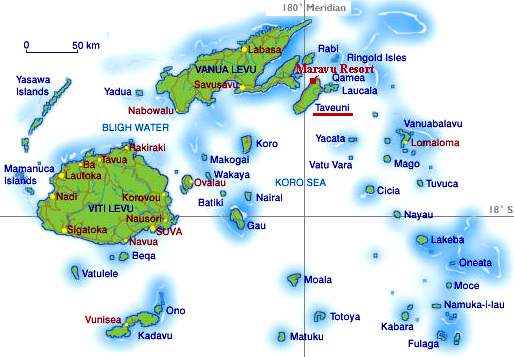
Now that you have commented this Neneveh, if I'm not mistaken the Fiji archipelago is also further west than it should be, I will try to trace the International Line Date to confirm this, and the island of St. Lawrence in Alaska was not supposed to be divided between the hemispheres instead of being entirely on Russia's side?
EDIT: Yes, Fiji is futher west. EDIT2: Well the Chukotka Peninsula...


EDIT: Yes, Fiji is futher west. EDIT2: Well the Chukotka Peninsula...
Last edited:
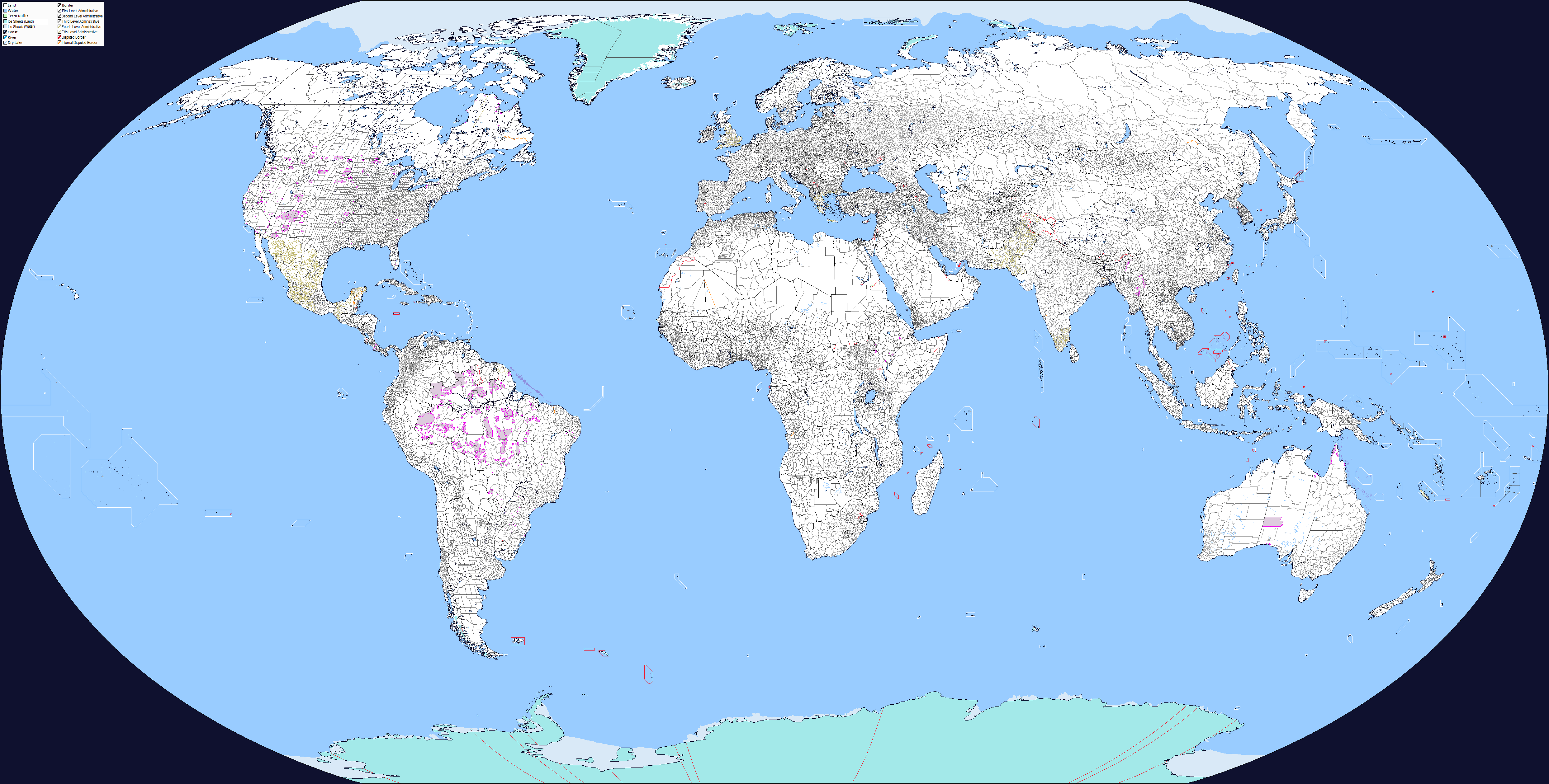
Progress in China, edited the Russian border around Inner Mongolia a bit, as well as first levels for some of the non-edited provinces. Now 18/31 administrative divisions are patched
Last edited:
Now that you have commented this Neneveh, if I'm not mistaken the Fiji archipelago is also further west than it should be, I will try to trace the International Line Date to confirm this, and the island of St. Lawrence in Alaska was not supposed to be divided between the hemispheres instead of being entirely on Russia's side?
This has been such a recurring issue with QBAMs that I am personally shocked that after years of being an active thread nobody has bothered to fixed the longitudinal shifts. I do believe the center of the original QBAM was supposed to be 10 degrees West, however I think that through so many edits and renditions that this is no longer the case the further you get from this original center. I believe that this group that frequents this thread should decide whether to recenter it at 0, 0 or maintain the original 0, 10 W center and conform the landmasses from there.
Not quite 10 degrees East, more like ~11.5 degrees East due to St. Lawrence Island.This has been such a recurring issue with QBAMs that I am personally shocked that after years of being an active thread nobody has bothered to fixed the longitudinal shifts. I do believe the center of the original QBAM was supposed to be 10 degrees West, however I think that through so many edits and renditions that this is no longer the case the further you get from this original center. I believe that this group that frequents this thread should decide whether to recenter it at 0, 0 or maintain the original 0, 10 W center and conform the landmasses from there.
Since the Bering Strait is not as strait as it should be, there is a possibility that the map edges have been artificially sharpened and the projection is correct, in which case the longitudes I drew are incorrect because they were based on size of the map (2650 pixels at the poles and 4972 pixels at the equator) using math to find the right positions of each meridian. Anyway the prime meridian passes exactly through Oslo which leaves the map centered at ~10.45 ° degrees east with the division of hemispheres at 170.55 ° and this meridian passes over St. Lawrence Island, so yeah this island is missplaced.
Last edited:
Why was the Prime Meridian placed at such a spot in the first place? To be quite frank, I seriously doubt anybody here knew the exact offset of the prime meridian to the centerline until it was finally brought up this week. People like me have been assuming for years that the centerline was this or that longitude and have made adjustments based on error. I seriously think we should consider defining the centerline as the Prime Meridian, for simplisity's sake, as I'm sure if we leave it where it is, mistakes will continue to be made.
Oh, and @Frank Hart , thank you for pointing out that is misaligned East, not West.
Oh, and @Frank Hart , thank you for pointing out that is misaligned East, not West.
The main issue with the map is that it doesn't have a fixed projection, it's not equirectangular, mercator or whatever. Hence tracing latitudes and longitudes basing on the map itself will go wrong, specially around the edges. The exact center of the map doesn't seem to have changed noticeably since the first versions so we can assume that. If we make a straight line from the center of the map we can see it passes directly through Oslo (10º44'E). What happens here is that most maps featuring meridians use Greenwich as a base, resulting in that Q-BAM has an "error" of 10º44'E when compared to any normal coordinate map. Taking that map of Chukotka posted earlier (I'll repost it now), which uses the Greenwich Meridian as 0, we should move the line 10º44' E to have our Antimeridian aka Edge of the Map. This is the main reason why many haven't tried to properly locate islands, because the basemap is biased, and to do things well comparing to any coordinate map based on Greenwich we should add an extra 10º44'E.

Apparently it also passes through the Pribilof Islands.The main issue with the map is that it doesn't have a fixed projection, it's not equirectangular, mercator or whatever. Hence tracing latitudes and longitudes basing on the map itself will go wrong, specially around the edges. The exact center of the map doesn't seem to have changed noticeably since the first versions so we can assume that. If we make a straight line from the center of the map we can see it passes directly through Oslo (10º44'E). What happens here is that most maps featuring meridians use Greenwich as a base, resulting in that Q-BAM has an "error" of 10º44'E when compared to any normal coordinate map. Taking that map of Chukotka posted earlier (I'll repost it now), which uses the Greenwich Meridian as 0, we should move the line 10º44' E to have our Antimeridian aka Edge of the Map. This is the main reason why many haven't tried to properly locate islands, because the basemap is biased, and to do things well comparing to any coordinate map based on Greenwich we should add an extra 10º44'E.
View attachment 477439
So, where should the meridian be *if* we want to keep St. Lawrence Island intact without skewing the map? Not that we would like to redo everything and waste several years worth of work.
Well, Antarctica is on both edges of the map, as are to a lesser extent Alaska, Hawaii and Kiribati. If the argument for doing something wrong for almost two decades is simply because St. Lawrence Island or Chukchia would be split by the edge, then I would have to say the basis is pretty weak. Most people when they look at map already assume that the centerline is the Prime Meridian, and thus would expect some land somewhere to get hacked into two. As amateur (and possibly professional) cartographers we should make every effort to ensure that our maps are without error. Even if we dispense with the centerline=Prime Meridian idea and go with 10º44'E, we still have the issue of several landmasses being of kilter. When I did the southern Indian Ocean yesterday, these islands weren't just off by longitude, they were off by latitude as well (which should remain fixed no matter what the centerline is).
EDIT: Probably the best approach we can do is make the centerline 11ºE. There shouldn't be many issues with that, however, everything would have to be shifted regardless of where the centerline is, so the "time saving" argument is invalid in my opinion.
EDIT 2: I would also like to point out that even I thought the centerline on a QBAM was the Prime Meridian, all the way up until yesterday, and I've been working with these maps for five years! It's not like these maps are shared with a fine print or anything. Anybody who comes across a QBAM will automatically make assumptions about the layout, especially if it's reasonably close to where one would think the Prime Meridian is. I knew it passed through Africa around the Gulf of Guinea, and all QBAMs seem to match that description, so I never thought the centerline was off by more than 10 degrees. I seriously doubt anybody knew that without having to measure it first.
EDIT 3: Unrelated, but I hate making more than one post in a row. When it comes to the map edge of the main file, I know the Supreme Leaders of this improvement thread really like SUCK V.3 or TOASTER or whatever it is that the main file is, but could you please use the X-2/3 color for the map edge? It's RGB 1-1-1. It blends in really well, and when it comes into contact with a black border (or in the far more chromatically pleasing and non-color sharing X-2/3, the coastline) of RGB 0-0-0.
Last edited:
Alright, I tweaked a bit the outer edges of the map to make "space" 1 pixel wide at both the equator and the poles to make the map more centered. That probably means our equator is off by 1 pixel (or not, since the move was of one pixel, there's a 50% chance). Aswell, according to @Neneveh 's recommendation, the outer edges of the map have been changed to RGB 1-1-1. Also the scheme we're using is (unofficially) DCS, nothing to do with the fact that I made that scheme *cough*.
Share: