Two things before I post the map and list of changes;
1. I've been avoiding colors with this to make things easier to cop-paste and since their's multiple camps in terms of color schemes.
2. I'm not done with the Caribbean, but their were so many fixes done now I figured I'd just post what is done.
Alright, the below is a patch for the Caribbean:
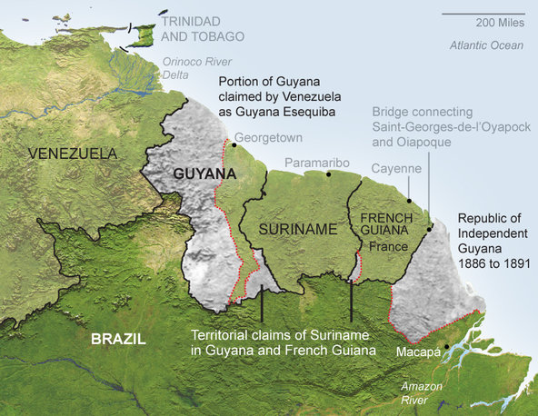
-Minor fixes to the Venezuelan coast.
-Added borders to the island countries and territories.
-Fixed the area near where the Amazon emptys into the sea so it's no longer shown as an island, which it's not.
-Added the Grenadines and a bunch of other islands.
-Fixes to various existing islands.
-Removed three islands South of Jamaica that don't exist.
-Fixed the area of Amapa where the Amazon enters the Atlantic, as it was previously shown as an island, which it is'nt.