I patched the British Isles for 100 BC to feature the Britons, Picts, and Hibernians. There is some conjecture with the placement of the borders, because the territory of these iron-age tribes fluctuated considerably.
You are using an out of date browser. It may not display this or other websites correctly.
You should upgrade or use an alternative browser.
You should upgrade or use an alternative browser.
The NextGen OTL Worlda Series
- Thread starter hadaril
- Start date
We absolutely need a separate color for thoseWhy do we need it? Russian republics and Chinese autonomous provinces lie on the same administrative level as traditional oblasts and krais and provinces.
btw pls let's try to make a world map with every 1st level subdivision, that would be epic.
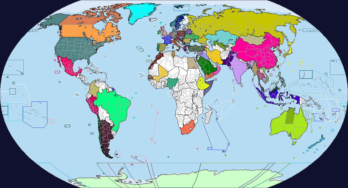
Another reply, please keep the subdivisions, otherwise they're just going to be patches.View attachment 587592
Changes:
- New subtitle
- Patched up the colors of a few lakes in Kazakhstan
- Consistent standard of colors for coasts and borders up in the top right
- We don't need different colors of subdivision for autonomous entities
- Poland subdivisions, credit @tungsterismapping
- Burma subdivisions, my own rip
- On second thought, we don't really need Sudan's subdivisions
- Changed shades for Karakalpakstan and Badakhshan (I think that's what it's called)
- Tajikistan doesn't have a color on the NCS, so I think we should use the DCS color: View attachment 587593

Literally wouldn't be possible for smaller countries.We absolutely need a separate color for those
btw pls let's try to make a world map with every 1st level subdivision, that would be epic.
Literally wouldn't be possible for smaller countries.
Not in Worlda, no. But, IMO, there should be a map - or a set of maps, if needed - which has the 1st level subdivisions on it. I'm ok with them being separate to the main series of maps, if the subdivisions clutter things up.
Some of the older Worldas of course have subdivisions for everywhere; while changes to borders, coastlines, and overall shapes make some of them difficult to reconcile and some countries have changed boundaries in the intervening years, most of them should be more or less transferable with a bit of careful effort.Not in Worlda, no. But, IMO, there should be a map - or a set of maps, if needed - which has the 1st level subdivisions on it. I'm ok with them being separate to the main series of maps, if the subdivisions clutter things up.
you forgot your patch for mongolia:View attachment 589040
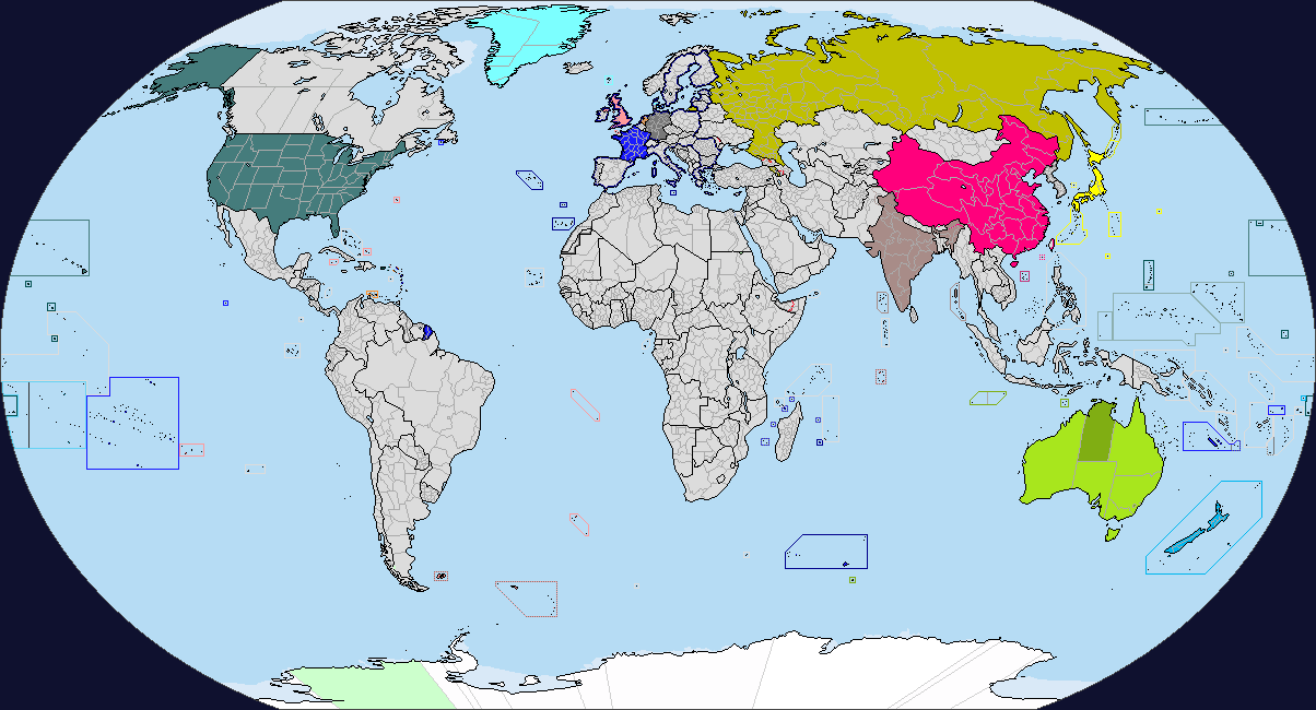
Worldmap with all thesubdivision patches hopefully
View attachment 566280
subdivisions for iran,saudi arabia,mongolia,kazakhstan,ethiopia and romania
View attachment 538031
idk how to make this larger, but here's the Shan States
we should probably integrate these patches into the mapsView attachment 547088<--Chad Sea patch for 2017, needs to be fixed on all maps.
Has anyone done a patch of the Russian Empire internal divisions in 1914? It was always useful for CP-victory maps due to the presence of Poland.
My 1900 map has them, you can just transfer it to whatever you're making.Has anyone done a patch of the Russian Empire internal divisions in 1914? It was always useful for CP-victory maps due to the presence of Poland.
My 1900 map has them, you can just transfer it to whatever you're making.
Cheers, very useful. On that note, what is the big green blob in the eastern Sahara on that map?
The Senussi OrderCheers, very useful. On that note, what is the big green blob in the eastern Sahara on that map?
You could fairly easily make one.
ThanksView attachment 589831
Not perfect, but got this fairly quickly done in paint.net
i feel neutral to this shade, i'll leave it up to you all to decide.
Share: