Okay, I'm going to put in a request for a map.

I'm writing a TL about dragons in North America, and I'd appreciate it if someone made a map of the ranges of the three dragon species (fire dragons, venom dragons, northern dragons).

passenger_pigeon_map_big.jpg

The North American map itself should include rivers, but no borders since it's AH.

Use whatever colors you want, as long as the different colors are used for the three ranges/species and a key/legend is shown, but I was thinking the borders go thus:

- Fire dragons (their names are a misnomer; they don't actually breathe fire) live in the temperate rainforests of the West Coast.
- Venom dragons live in the coniferous forests of eastern (at least in our TL) America and Canada near the coast.
- Northern dragons live in the North American tundra.

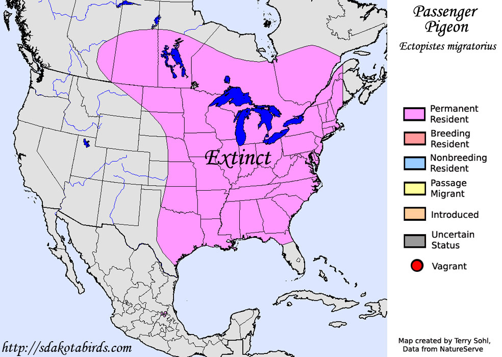
Use this biome template as a guide:

KOovuU4rtnvX-tJU3-rXREywQJo6dSBuPq5zy7XBFr4KioLyxdU5fThGhDSFBWaM0SInNbo09M-JKJeLc1bPA6oOlFThVivtbLbPXQ
 
Can I ask you to make a few more of these flags as I write more updates for my timeline? The number of stripes will remain the same, I just need the number of stars increased :)
As requested in your PM, here's 28 stars:
USA_28_stars_15_stripes__1425x750__FG.png (click the thumbnail for the full-size image)

It's quite quick to change the number of stars if it's an easy pattern so this didn't take me very long, but if you need any more in the near future, please be aware that I'm about to move house, to another country, so I'm very busy with clearing/packing/disconnecting/panicking... I will hopefully have a bit more time available once we've moved/unpacked/un-quarantined/etc, but I don't expect to have much time for anything more complicated than quick cut-and-paste before mid-August, sorry.
 
1593887729065.png

Would anyone want to create a map for post civil war Quebec (as in this map for ‘my’ scenario) dividing into just two parts, Ungava and Québec du Sud? Preferably better quality than the map I provided
 
Would anyone want to create a map for post civil war Quebec (as in this map for ‘my’ scenario) dividing into just two parts, Ungava and Québec du Sud? Preferably better quality than the map I provided

If the northern part is called Ungava, wouldn't the southern part simply be called Quebec ?
 
As requested in your PM, here's 28 stars:
View attachment 563103 (click the thumbnail for the full-size image)

It's quite quick to change the number of stars if it's an easy pattern so this didn't take me very long, but if you need any more in the near future, please be aware that I'm about to move house, to another country, so I'm very busy with clearing/packing/disconnecting/panicking... I will hopefully have a bit more time available once we've moved/unpacked/un-quarantined/etc, but I don't expect to have much time for anything more complicated than quick cut-and-paste before mid-August, sorry.

Thank you!

And no, I'll just be looking for the US flag like this one in the future (without modifications except for the number of stars).

If I do need a more complicated flag (like the state flags of my timeline), then I'll just ask other people in the thread as well :)

Thanks once again!
 
If the northern part is called Ungava, wouldn't the southern part simply be called Quebec ?
Well, it is similar to PRC and Taiwan... with both parts calling themselves Quebec, but Quebec being globally recognised and Ungava with little to no diplomatic ties.
 
this is a big ask and i dont expect anyone to pick it up but, could somebody please draw the (1420ad) treaty of troyes in q-bam? i tried and tried but i just cant get it right.
425px-Treaty_of_Troyes.svg.png
 
Could anyone give me the Borders of the Eastern and Western theatres of WW1? Maybe with the important towns and cities marked with darts? Apologies if this is asking too much. Me and a friend are planning to work on an alternate WW1 military operations map
 
Sorry if I bother someone but I want to request a map.
It would be centered in the Eastern Mediterranean (and a little on North Africa, Libya). Its a (proposal) treaty between the Ottoman Empire, Russian Empire, British Empire and the Third French Republic, with the follow characteristics.
With the following characteristics:
*Italy.
1-Libya is carried (annexation).
*Russia.
1- Constantinople, the Dardanelles straits and the Bosporus strait (annexation).
2-The Armenian vilayets of Van, Erzurum, Diyarbekir, Bitlis and Mamuret-ul-Aziz (or Harput) (annexation).
3-The vilayet of Trebizond or Trabzon (annexation).
*UK.
1-Palestine (protectorate / area of influence).
2-Iraq (protectorate / area of influence).
3-Transjordan (protectorate / area of influence).
*France.
1-Levant (protectorate / zone of influence).
2-Syria (protectorate / area of influence).
3-Alexandretta (Hatay) (protectorate / area of influence).
I do not know if it would give room, but also the Aegean islands would be divided as they are currently between Greece (with the borders of before the First Balkan War) and the Ottoman Empire.
 
Well, it is similar to PRC and Taiwan... with both parts calling themselves Quebec, but Quebec being globally recognised and Ungava with little to no diplomatic ties.

OTL Northern Quebec is big but very sparsely inhabited (about 45k all told OTL), are the faction's remnant concentrated somewhere ? Chibougamau would probably be the largest town (even then, it's really not that big) and probably the only one that would be easy to access for a large military force. Depending on the POD too, roads may not exists at all as the network was only created during the construction of the James Bay hydro-electric plant in the 70s.
 
OTL Northern Quebec is big but very sparsely inhabited (about 45k all told OTL), are the faction's remnant concentrated somewhere ? Chibougamau would probably be the largest town (even then, it's really not that big) and probably the only one that would be easy to access for a large military force. Depending on the POD too, roads may not exists at all as the network was only created during the construction of the James Bay hydro-electric plant in the 70s.
Thanks, I think I was not so well informed tbh. I've since done some reading on wkpdia and I have to conclude that Chibougamau makes sense as th faction's 'capital'.
 
This is not really a request, (sorry if there's a better thread) but I had this idea of Ethiopia as the United States and I can't help not share it.
 
"RMcD94, post: 20790158, member: 12708"
Looking for a version of this map in 1939/WW2

A map that shows the Pacific from Alaska to Chile to Ceylonish and to Antarctica with clear groupings/countries

The QBAM doesn't work because the Pacific is cut in twain and I can't stitch it together because it's round and not rectangular :(

Map_of_the_Territorial_Waters_of_the_Pacific_Ocean.png
 
If its possible to request this and if anyone is interested enough, I'd like to request three flags.

First is one for the Germano-Slavic Commonwealth of Germany, Poland, and Lithuania. The flag is designed much like the American Flag in a way with the stripes, though the colors are yellow and black while the corner is red. In the middle of that corner is a triple headed eagle with a crown on each head.

Second one is for the United Kingdom of Italian States that is Green and Red horizontally with a white x leading to a sphere in the middle. In said sphere is the Visconti Emblem.

Third flag is for the Grand Iberian Union that is horizontal colors in green, yellow, and red in respectful order. In the middle of the flag is a rather magnificent crown to show the unions of Portugal and Spain.

I hope this isn't too much to ask for.
How many stripes for the Commonwealth?
 
Top