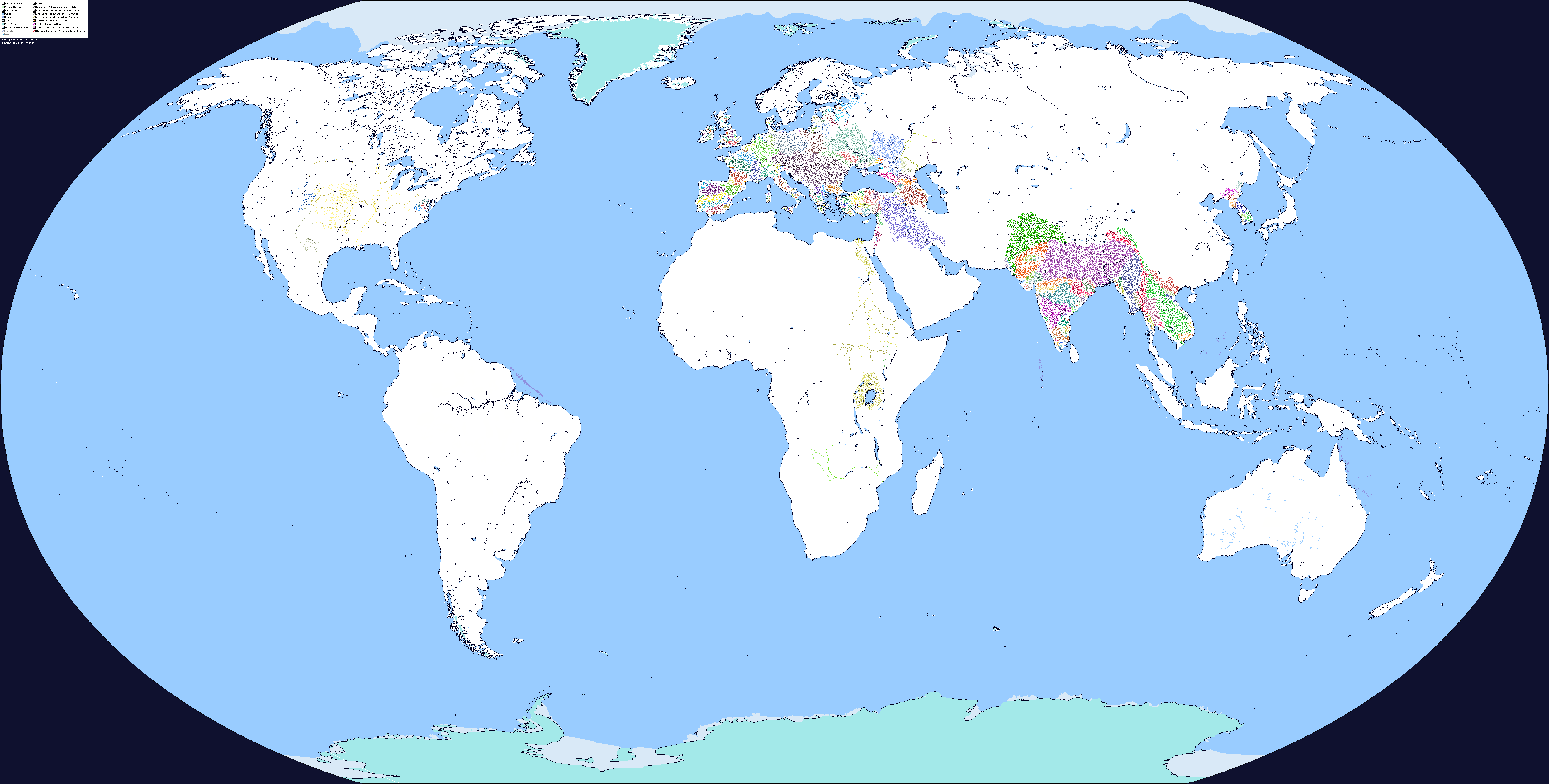
How are you going to deal with the Sahara? There are some intermittent rivers with a semi-regular course, but considering most of the desert is devoid of rivers at all, will you show drainage basins with elevation-based courses or something else? That unless the source you use already deals with this.


At the moment, I don't have a solid plan for it and I'm sticking to the coast as much I can. Databasins has got everything somewhat covered, but the way they do it is just showing the basin regardless of whether or not it is dried up or not. This is why the Luni River in Rajasthan has such as huge basin. Now this is correct, but misleading, and unfortunately with the Sahara, it's a large pile of sand, so seeing what actually is there can be somewhat difficult. That being said, elevation is a good idea, but I'm also leaning towards using population centers only because they need water in large quantities, size of the basins which I am not as fond of because that doesn't mean much, and general relevance or how often it is mentioned in the sources of historical or modern documents (usually I look up locator maps on wiki or other maps around the internet).
I'm going to avoid the basins that are heavily clumped together (such as the massive amounts of blue more condensed then others because those are clearly deserts regions) unless they are part of larger basins. In general, I'm limited somewhat by the color scheme, but I can always pull colors from other parts of the DCS, provided I keep track of it, so it's barely an issue, but it does mean I need to pick and choose which ones get used, because I plan to use the DCS in its entirety.
However, I'm open to suggestions, and honestly there are more deserts then the Sahara so I can just carry over the same methodology to those ones as well
")