About one and a half years ago, I had found a somewhat cheesy map of Europe:
have a different take on it (also webfound)

have a different take on it (also webfound)
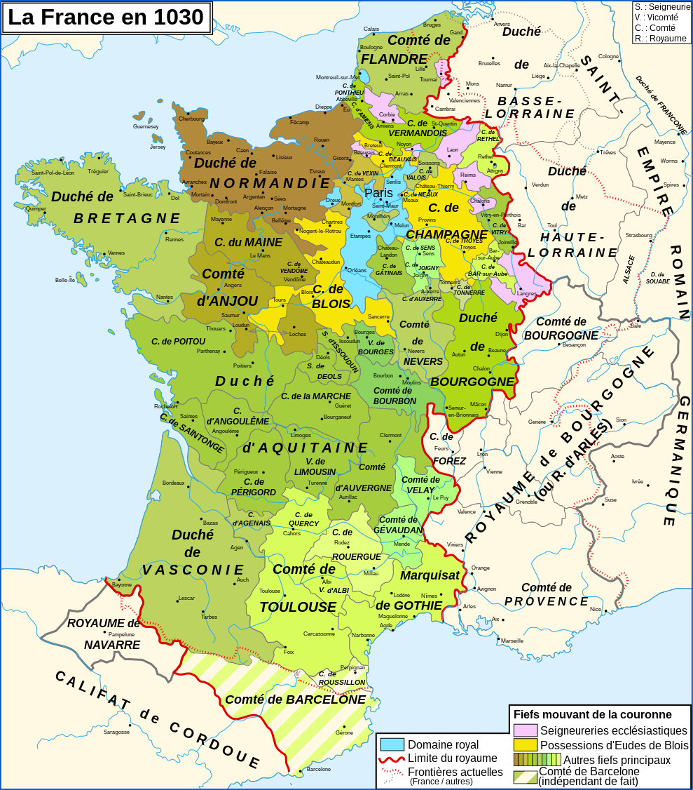
I'm not sure but id say it was made by Joaquín de Salas Vara de Rey for Hisatlas. He has made a very nice collection of maps but sadly hidden behind a paywallCan anyone help me identify the author/original site of this map? I've seen others that are similar to it on AH.com but I haven't seen a direct attribution and before I mod it I want to at least try due diligence!
Thank you--that does look probable! Probably reposted by someone with full access, then, given the higher resolution. Good to know for future work!I'm not sure but id say it was made by Joaquín de Salas Vara de Rey for Hisatlas. He has made a very nice collection of maps but sadly hidden behind a paywall
Consider also this language map of Limpopo Province.One of my main sources for this was this map of SA’s racial groups (and from there I extrapolated where the individual ethnic groups were within these larger areas)
[IMAGE]


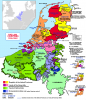
Excellent map, what is the base, is it just an enlarged M-Bam or something?The region around Wurttemberg in 1789 and how territories were dealt out during mediatization
Excellent map, what is the base, is it just an enlarged M-Bam or something?
Do you have any more German maps?

 commons.wikimedia.org

 commons.wikimedia.org
 commons.wikimedia.org
 commons.wikimedia.org

 commons.wikimedia.org
 commons.wikimedia.org


I continuePopulation Growth 1950 - 2020 by UN data