Map Thread XXI

Status
Not open for further replies.
This is a timeline map we did for Atlas Altera to depict the last six centuries of Ming Dynasty rule.
View attachment 816104
For a high resolution view, go to my Deviantart.
To see other and more serious maps from the project, go to AtlasAltera.com or r/atlasaltera or go to the Altera Deviantart page. You can also take a deep dive on Youtube.com/@atlasaltera
No matter what size they are right now, the Ming Dynasty consider the concept of defeat outlandish to them. They would probably be a fierce opponent tho, given how so many people can fit inside coastal areas.
Really like the map 👍
 
View attachment 815063
My first ever map! I always wanted to make an alternate history map, but I am terrible coming up with plausible alt history scenarios, so I decided to test my map making skills on an OTL Nurgan RMC, a military commission established by the Ming dynasty in modern day Manchuria. I originally wanted to do a QBAM/World-A map, but there were two issues with it. The RMC didn’t have any administrative divisions and was instead controlled by a bunch of guard outposts scattered throughout Manchuria. QBAM/World-A was too small, so I had to resort to using VT-BAM to show all the outposts. According to sources during the Ming dynasty, Nurgan at its peak had over 384 outposts, but I couldn’t find a map that had all of them. I’m not sure how many outposts are there on my map, but it’s a lot! According to the map I used as a source, the forts I showed are roughly the locations of the outposts in 1422.

As for designing the map, all of the rivers were hand traced, and the fort symbols I used was pixel art created by me. It was my first time doing pixel art, so it doesn’t look super good, but it looks alright from a distance. One of the forts in the map have a yellow flag on top, and this fort represents Nurgan City, which was the capital of Nurgan RMC. Georeferencing the source map and tracing the rivers were quite tedious, but I'm quite happy with the result I got for now.

I hope you all like this map! Feedback would be appreciated for my first map! Thanks for reading!
Very nice. Do you have a source for those outposts? I was actually doing a map for the same region but as it was in Yuan times for my TL.

BTW, you missed Boluohe (波羅河) on Sakhalin, which was located somewhere near modern Poronaysk. That was a trading post active in at least Ming times, and possibly in Yuan times too.
 
Last edited:
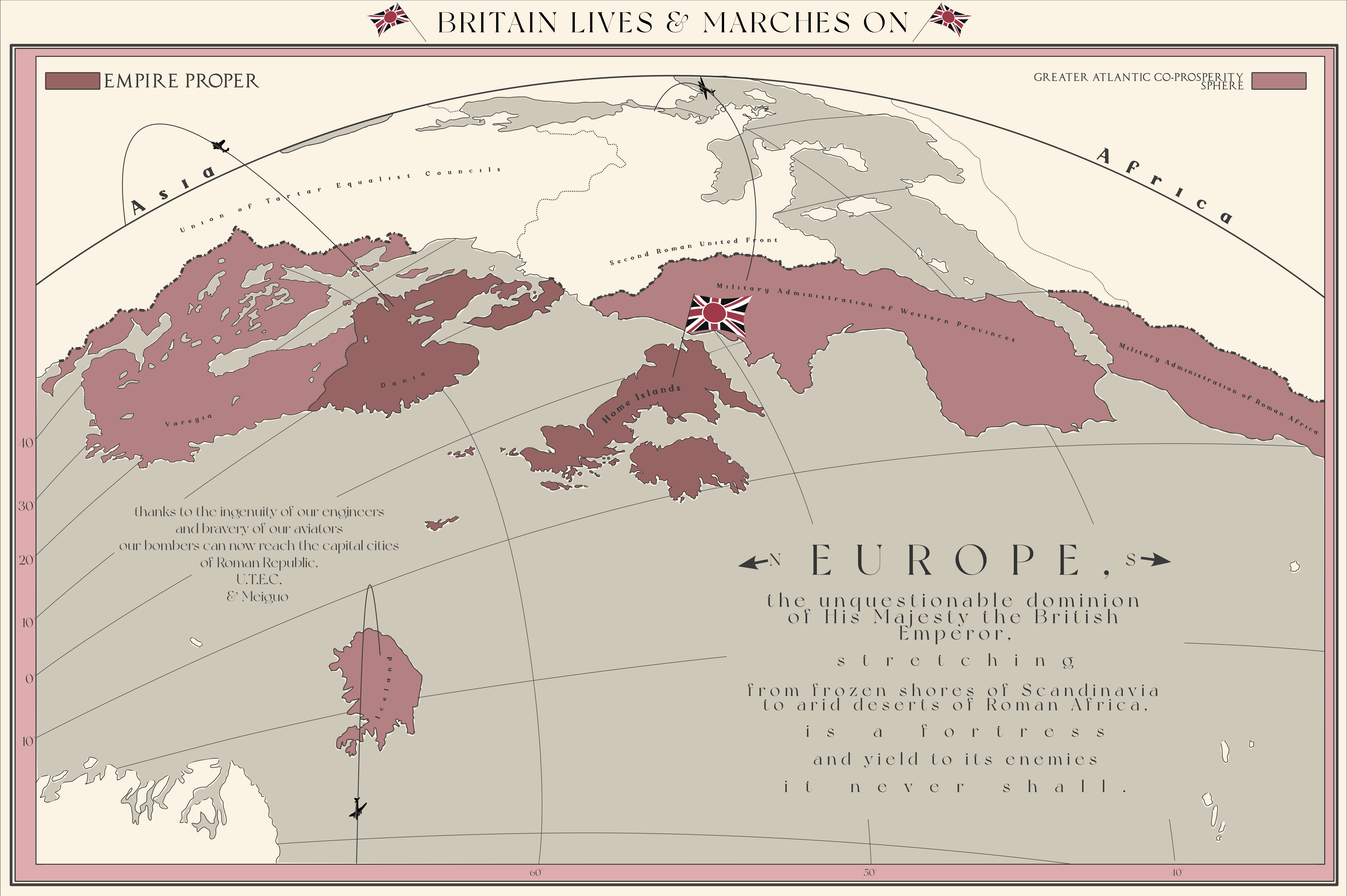
Haha, I made a very similar map once

dfks65h-68043765-e43a-4c1b-badc-77709272f950.png
ngl it was your map that inspired me to make something similar and I like the idea of Japanized Britain
 
LBMap.png


A simple Wikipedia-style map of the NationStates region I play in, and the country I control there; the region's map is not meant to cover the whole world, as the country lies between the 30th parallel north and the Tropic of Cancer.
 
Last edited:
Very nice. Do you have a source for those outposts? I was actually doing a map for the same region but as it was in Yuan times for my TL.

BTW, you missed Boluohe (波羅河) on Sakhalin, which was located somewhere near modern Poronaysk. That was a trading post active in at least Ming times, and possibly in Yuan times too.
Thanks for the feedback! I had two good maps for the Nurgan outposts, but I settled on the one below since it was easier to trace the rivers and outposts from.


The other map here is much more detailed, but it's much harder to see the past rivers and the outposts due to the modern rivers and borders. I originally attempted to georeference this map, but I messed up and was too lazy to try again for this map, so I switched to the other one.


Despite my best georeferencing attempts and tracing, my map is sadly not as accurate as what I hoped, but I think it's a good shot for a first map. It's pretty much spot on for the Eastern part of Manchuria, but it becomes less accurate the more west you go on my map. I definitely plan to remake it sometime in the future with the better source when I am more confident in my map making skills.

I did some brief looking around for Manchuria under Yuan rule, and it was called the Liaoyang providence . The following map may be of help to you:


Best luck on your attempt!
Im pretty dubious of the Ming having any outpost in the Greater Khinggan Range.
 
Im pretty dubious of the Ming having any outpost in the Greater Khinggan Range.
Looking at the map, I only see one outpost in that region, and apparently, it has a very brief Wikipedia page in Chinese.


Google translate tells me that it was the Ming's dynasty northern most outpost, so I'm guessing that Ming influence there was very minimal. The outpost was also located near a river, so it's not implausible for it to exist. In fact, the other outposts in the north but not exactly in the region were also near rivers, so the soldiers had access to water and could grow crops to feed themselves.
 
It's been posted here before, but as there are a lot of map threads, I'm not about to go looking for it.
 

The original source seems to be this Reddit post:

It's been posted here before, but as there are a lot of map threads, I'm not about to go looking for it.

What PolishMagnet said.

There was also a Canada version (and a Mexico one, thought that one was made by a different person).
 
Thanks for the feedback! I had two good maps for the Nurgan outposts, but I settled on the one below since it was easier to trace the rivers and outposts from.


The other map here is much more detailed, but it's much harder to see the past rivers and the outposts due to the modern rivers and borders. I originally attempted to georeference this map, but I messed up and was too lazy to try again for this map, so I switched to the other one.


Despite my best georeferencing attempts and tracing, my map is sadly not as accurate as what I hoped, but I think it's a good shot for a first map. It's pretty much spot on for the Eastern part of Manchuria, but it becomes less accurate the more west you go on my map. I definitely plan to remake it sometime in the future with the better source when I am more confident in my map making skills.

I did some brief looking around for Manchuria under Yuan rule, and it was called the Liaoyang providence . The following map may be of help to you:


Best luck on your attempt!
Where do those lines even end at?
 
It's been posted here before, but as there are a lot of map threads, I'm not about to go looking for it.
Yeah, I thought it had, but it's amusing enough that I decided to put it up for the benefit of those who haven't seen it before. (There was also a Big Fat America as well as a Longamerica, IIRC.)
 

qazse

Gone Fishin'
I've decided to give the map I posted on post #7,846 a do-over. The key has been changed from fonts to colours and some typos have been fixed.
3bvdo4ijsbla1.png
 
Status
Not open for further replies.
Top