JJohnson
Banned
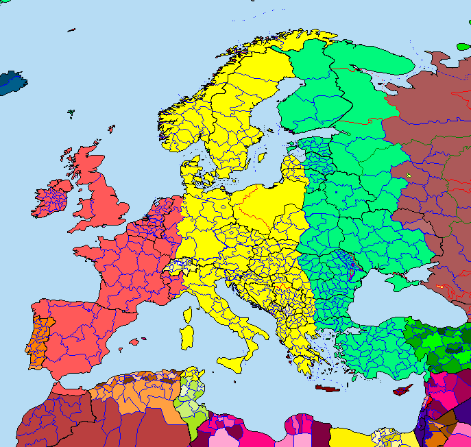
I'm also figuring on the time zones in this timeline, which will hopefully be more logical...
GMT-1 - Portugal
GMT - UK, France, Spain, Andorra, Netherlands, Belgium, DE (Alsace, Lorraine, Luxembourg, Rhineland, Westphalia)
GMT+1: Switzerland, DE (remainder of country), Italy, Yugoslavia, Greece (left of Central Macedonia province), West Poland, Norway, Sweden, Denmark
GMT+2: DE (East Prussia, West Prussia, New East Prussia, eastern portion of South Prussia), Greece (remainder of country), East Poland, Moscow
Suggestions?
Last edited: