not the exact same font but should do the trick.Could someone redraw this and replace the "of America" with Comics in the same font (as the "of America")

not the exact same font but should do the trick.Could someone redraw this and replace the "of America" with Comics in the same font (as the "of America")
After some research please disregard.the image isn't showing up for me


Could someone recommend this to match the colors of Adam West's Batman?


Could someone recommend this pic:
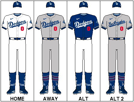
to match the colors of the one in the middle:
Could you lighten up the mane, maybe somewhere between its current color and the body. Could you also lighten up the shading of the whole pic.
Could you lighten up the mane, maybe somewhere between its current color and the body. Could you also lighten up the shading of the whole pic.
What does the flag represent ?Yo,
You think someone could replace the US flag and put in this flag:
View attachment 646261 In this picture?
View attachment 646262
Make it look I guess like it belongs in the pic?
Many Thanks!