Son of Leman Russ
Banned
Alright, here's a case about the fictional world Map I made... some Alien world, yet quite similar in composition with our earths.
Assume this fictional planet has size, as well as day and night cycles quite similar with our Earth, the land composition, etc - etc, are also the same, so does gravitic accelerations as well as the Lunar tidal power. (there's a moon with similar size as well)
And assume at first... no human or sentient being there... so this is a natural world...

Some questions from a newbie in map making (me)
1) Where would the realistic mountain ranges present? assuming the map is depicting coasts at the sea level.
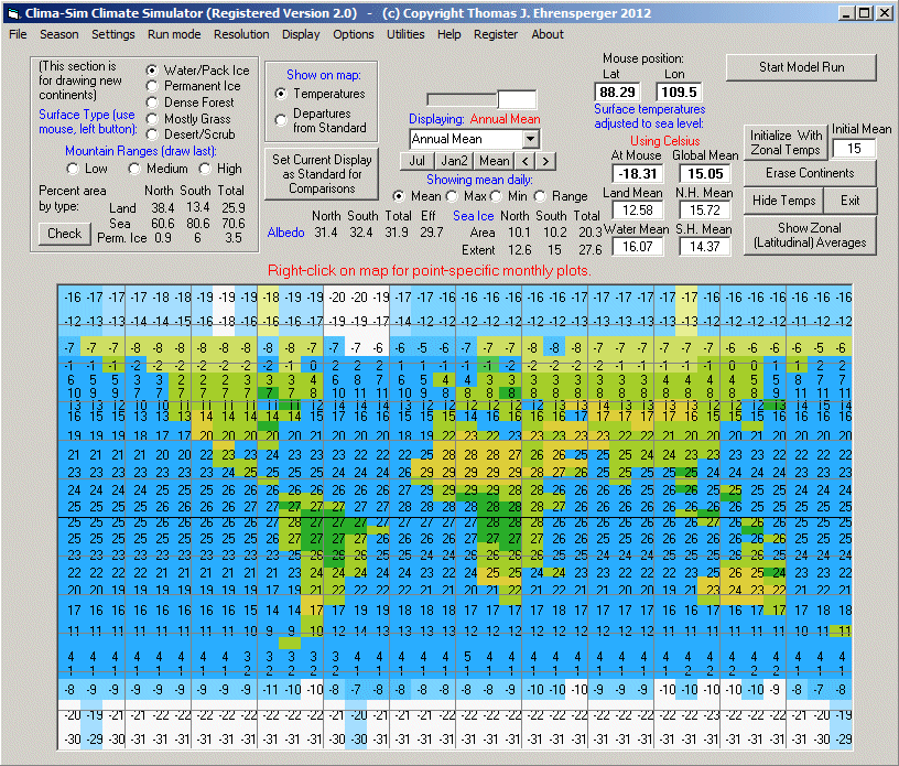
2) About the climates and the possible general oceanic current, yes this world's Antartica is on the north, and if you squint, you can see this world is basically earth upside down with some changes on... but I like to ask experienced opinion about where I shall realistically put the desert, steppes, and likely fertile riverlands...
3) Did anyone knew about some tool to map the map (pardon the pun) into a surface of a ball? in 3D viewer?
Many thanks
Assume this fictional planet has size, as well as day and night cycles quite similar with our Earth, the land composition, etc - etc, are also the same, so does gravitic accelerations as well as the Lunar tidal power. (there's a moon with similar size as well)
And assume at first... no human or sentient being there... so this is a natural world...
Some questions from a newbie in map making (me)
1) Where would the realistic mountain ranges present? assuming the map is depicting coasts at the sea level.
2) About the climates and the possible general oceanic current, yes this world's Antartica is on the north, and if you squint, you can see this world is basically earth upside down with some changes on... but I like to ask experienced opinion about where I shall realistically put the desert, steppes, and likely fertile riverlands...
3) Did anyone knew about some tool to map the map (pardon the pun) into a surface of a ball? in 3D viewer?
Many thanks