You are using an out of date browser. It may not display this or other websites correctly.
You should upgrade or use an alternative browser.
You should upgrade or use an alternative browser.
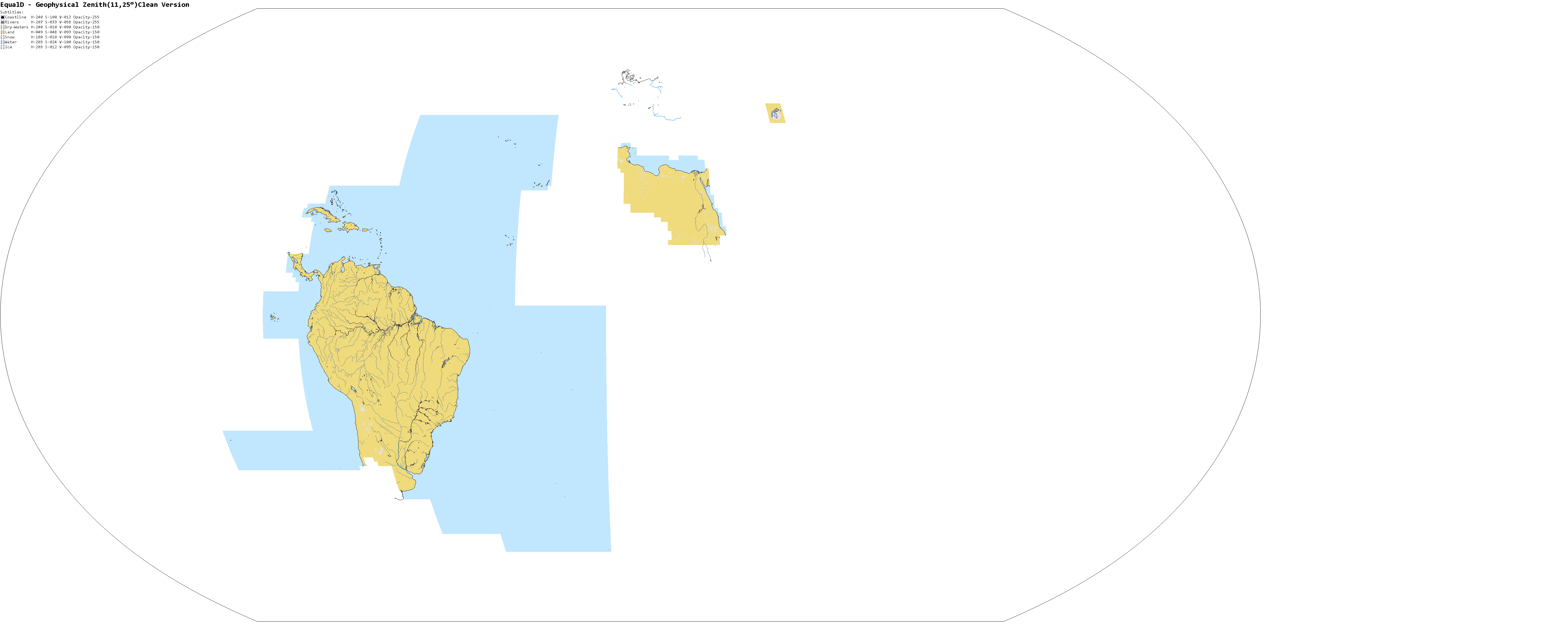
Ok, the Paraná basin is almost ready, there is only one small problem, the Paraná river delta (not the La Plata river) is somewhat screwed, despite having a path that can be separated from the delta area, it is similar with the center of the Amazon but more concentrated and basically it is floodplain, do you think it would be interesting to represent this with a different color (similar to a dry lake) to leave with nothing? (This also happens with other rivers to)


Removing claims from Russia, Belarus, Ukraine and Kazakhstan. I don't have the time to deal with this.
well: I made this: not sure if it's 100% overlayable, but it sould help a flake ton.

Germany, Denmark and Czechia all done.
I'm using X2 to color the nations.
I'll be using a consistent color scheme so it should be easier to fix it
")
Leaving it here for today :/
I find myself making river parts but not really finishing any becuase the base is kinda messy.
ST15RM
Banned
i would go with the 3rd, since it still allows for the floodplain to be seen but also clears up the "busyness" of just having it traced like a lake/coastline. this could also be useful for regions like russia/north canada which look like marshes with how it's set up.Ok, the Paraná basin is almost ready, there is only one small problem, the Paraná river delta (not the La Plata river) is somewhat screwed, despite having a path that can be separated from the delta area, it is similar with the center of the Amazon but more concentrated and basically it is floodplain, do you think it would be interesting to represent this with a different color (similar to a dry lake) to leave with nothing? (This also happens with other rivers to)
View attachment 522638 View attachment 522639 View attachment 522640
also three things:
updated claims map
more progress on sudan
and a stage map of how i'm doing africa
in order of when i'm doing it:
- dark gray mini stage: macaronesia and south atlantic islands (complete)
- red stage: north east africa
- orange stage: maghreb
- yellow stage: sahel
- lime stage: west african coast
- blue-green stage: car, south sudan and horn of africa
- turquoise stage: central africa
- dark blue stage: east africa
- blue stage: central/south africa transition belt
- purple stage: south africa
- pink stage: east african islands
- light gray stage: south indian ocean islands
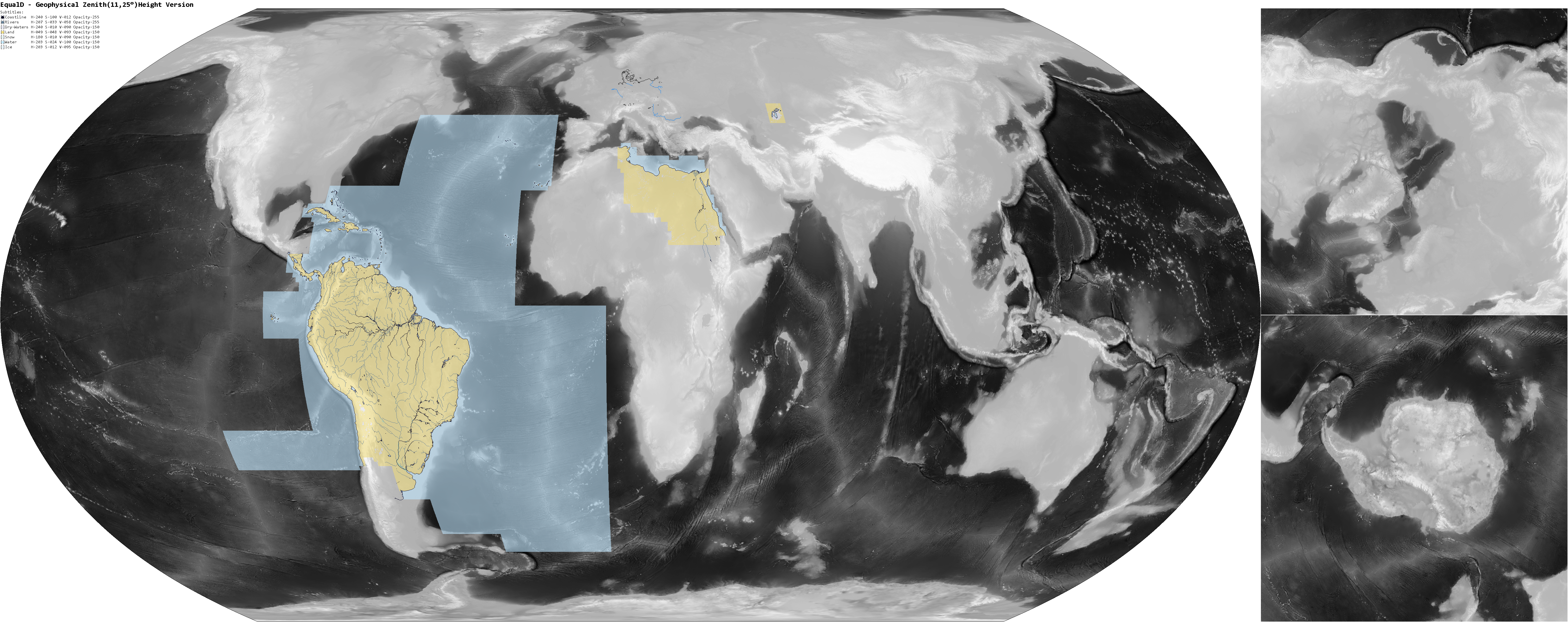
Well, I organized the maps of EqualD in DeviantArt and all versions are there now, and I left some links in my forum signature, anyways, the Paraná basin and the Andean salt pans + Easter Island are made, I took advantage and made the borderless version of northeastern Africa, I haven't touched Europe yet, but that's it for today

ST15RM
Banned
also @tungsterismapping i don't want to make you feel like i'm trouncing on your claims, but i did feel like wanting to fix some some of your coasts/add more lakes in.

Share: