You are using an out of date browser. It may not display this or other websites correctly.
You should upgrade or use an alternative browser.
You should upgrade or use an alternative browser.
Okay, I had forgotten about it somehow, I will pass on everything I have so far...
Well on the bases, because of the size of EqualD the resolution is a bit silly, because of that I'm drawing with the help seeing the source in QGIS (which is definitely not big, 3Gb, what are you talking about); other than that the colors, in HSV, of the lands is 49-48-93, water is 203-24-100, coastilines is 240-100-12 and rivers is 240-69-24, the layer with the waters and lands has a opacity of 150, while coastlines and rivers are opacity of 255...
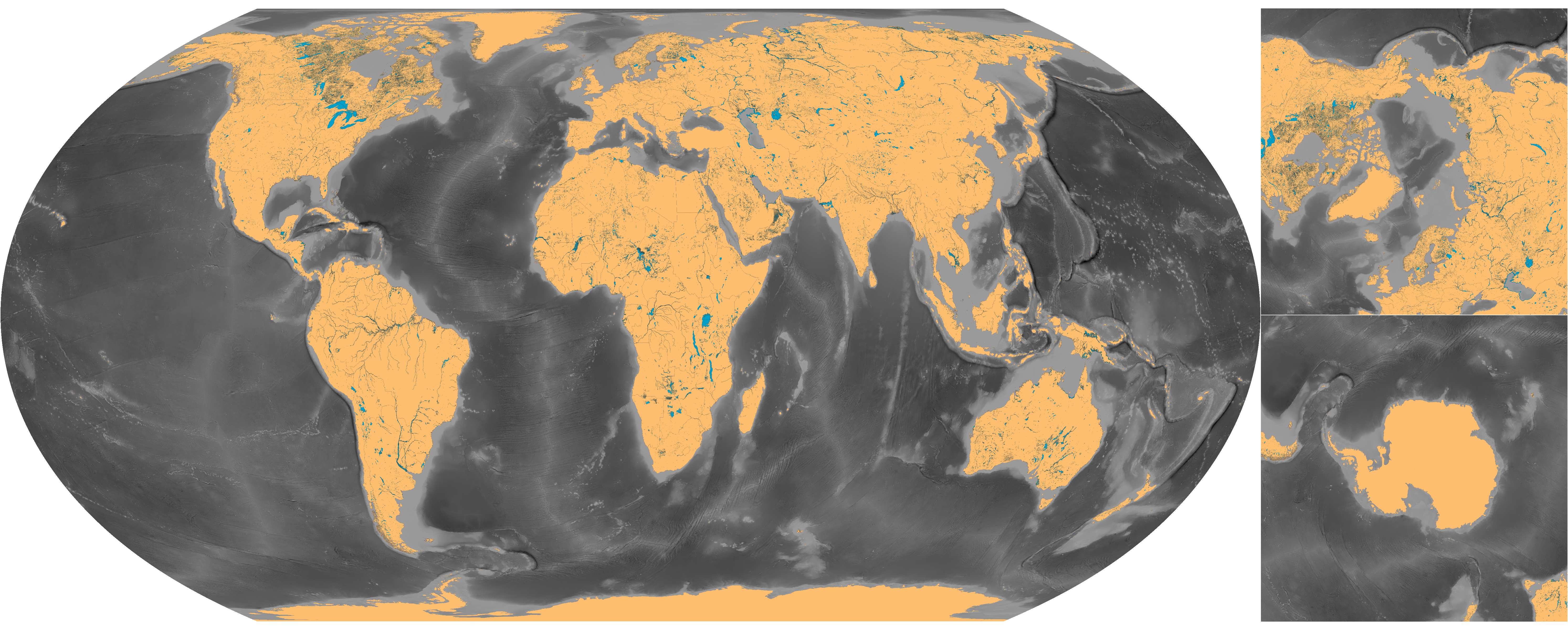
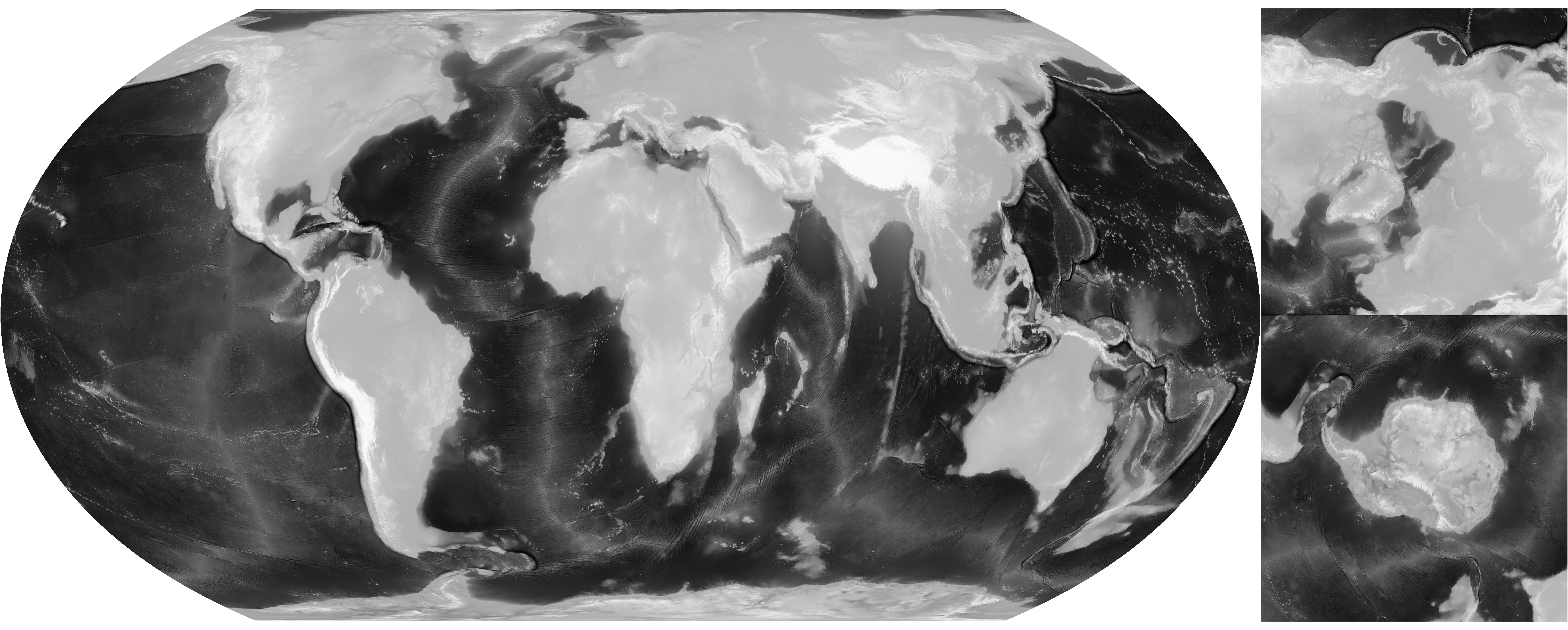


Well on the bases, because of the size of EqualD the resolution is a bit silly, because of that I'm drawing with the help seeing the source in QGIS (

Deleted member 101966
Very good on you for figuring out your own base where I haven't posted enough good resources myself... if you can make a version that eliminates single-pixel lakes (the Canadian Shield quickly becomes nightmarish if they're included), I'll add "official" support for this rendition to the OP.

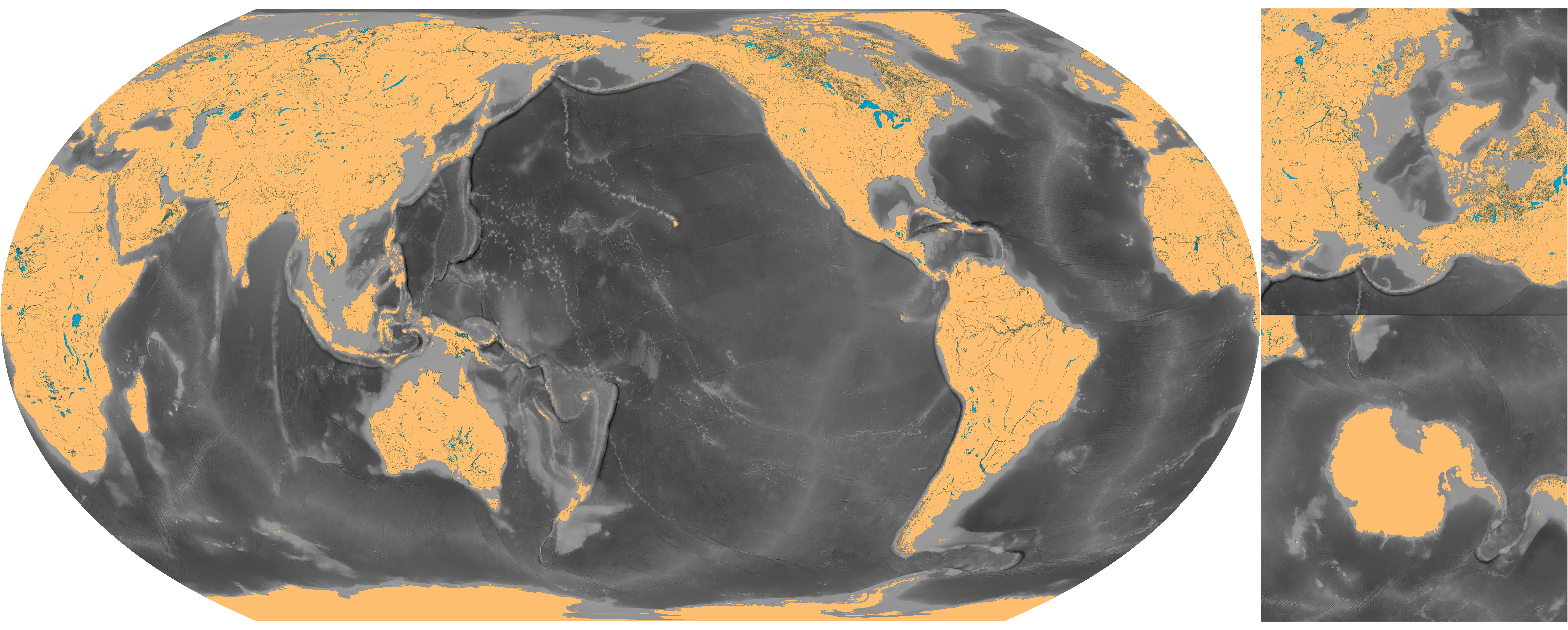
The Amazon basin is complete !!! + Galapagos and Peru


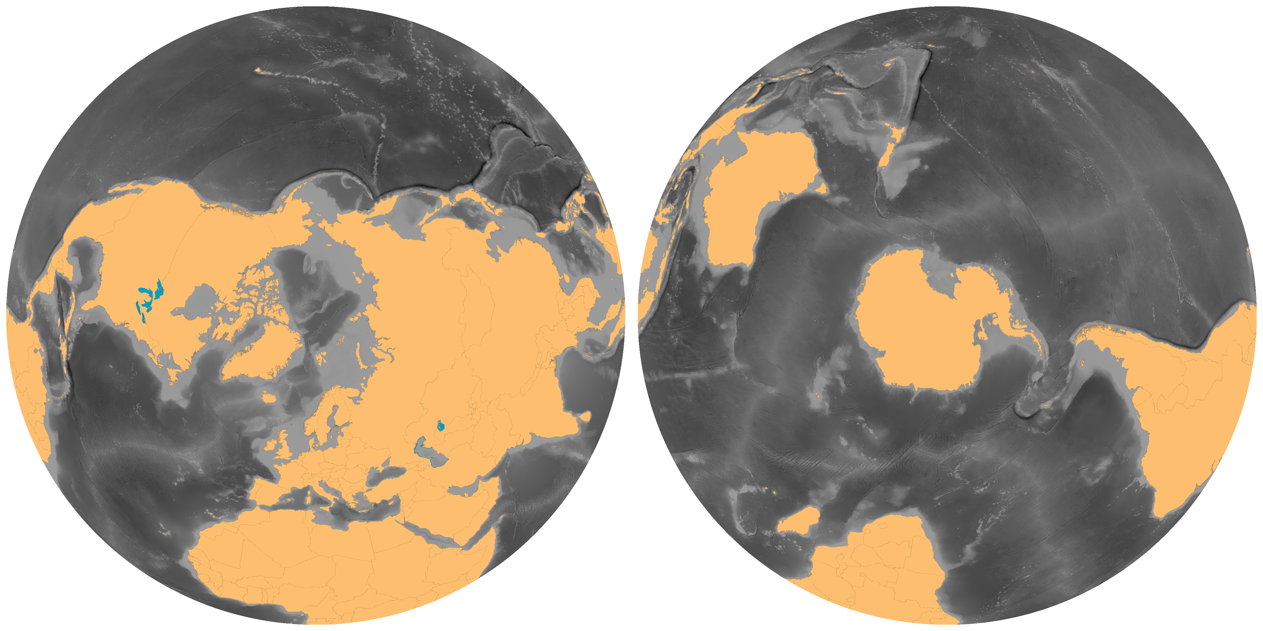
@ST15RM Okay, I hadn’t seen that the border shapefile didn’t have South Sudan, I’ll fix this in a moment; but about the water shapefile, one of his problems is that it mixes lakes, large rivers, rivers and dry lakes in one thing, because of that the Australian outback and southern Arabia look like swamps, I wanted to find a shapefile that had bodies of dry waters separate but as the DIVA-GIS was the most complete resource I found I used it. By the way I forgot to put the water file from Turkey and Turkmenistan, I'm reposting the base file

@ST15RM Okay, I hadn’t seen that the border shapefile didn’t have South Sudan, I’ll fix this in a moment; but about the water shapefile, one of his problems is that it mixes lakes, large rivers, rivers and dry lakes in one thing, because of that the Australian outback and southern Arabia look like swamps, I wanted to find a shapefile that had bodies of dry waters separate but as the DIVA-GIS was the most complete resource I found I used it. By the way I forgot to put the water file from Turkey and Turkmenistan, I'm reposting the base file
@ST15RM Well, I fixed up South Sudan. Fun fact: the DIVA-GIS website apparently doesn’t have data on South Sudan, but it has updated data on "North" Sudan, but only on the administrative divisions file, not on the water file because it stilll has information from South Sudan in it?


Also on the water shapefile, the resolution in the size of EqualD does not help with the precision, I changed a part of the course of the Nile ...
PS: The color you used for rivers has a much better toning than I was using, I liked

Also on the water shapefile, the resolution in the size of EqualD does not help with the precision, I changed a part of the course of the Nile ...
PS: The color you used for rivers has a much better toning than I was using, I liked
Last edited:
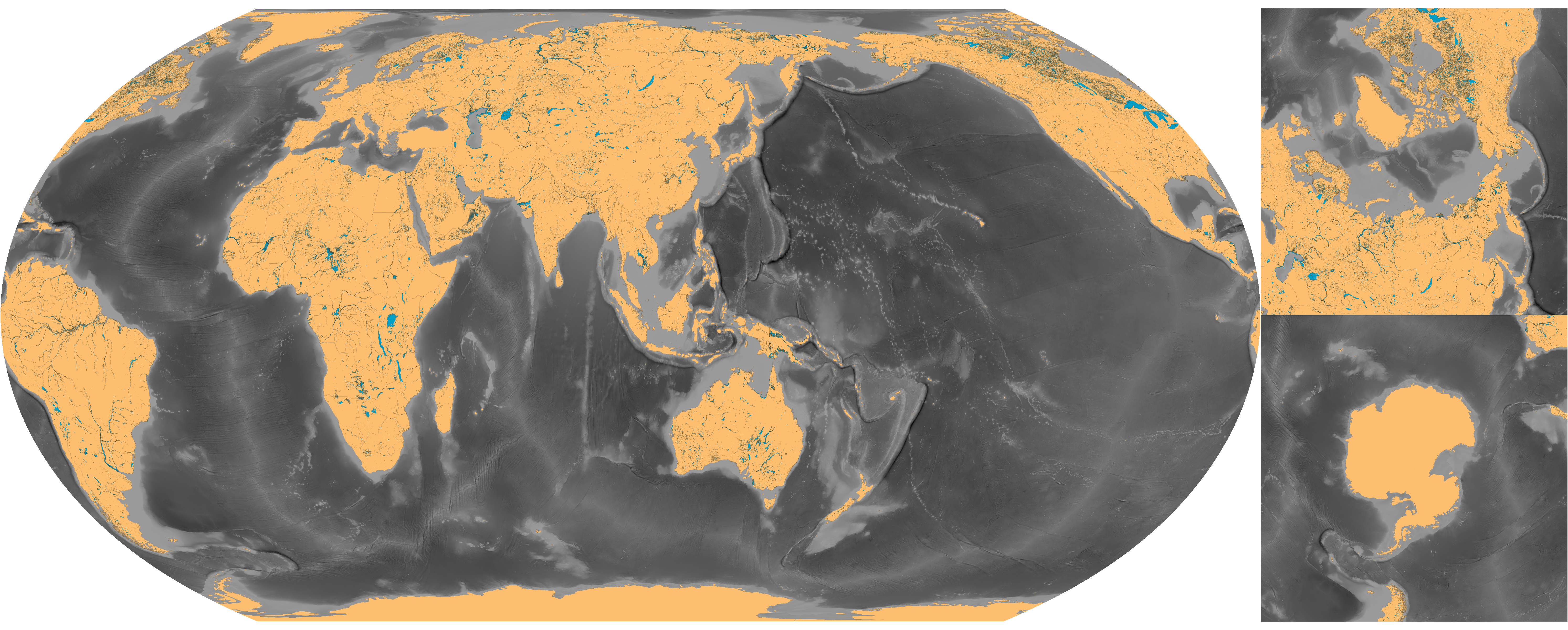
@ksituan Well I made a version of the base map using the lake data from the Natural Earth website, the polar region is cleaner now but the DIVA-GIS version is more consistent, anyways...

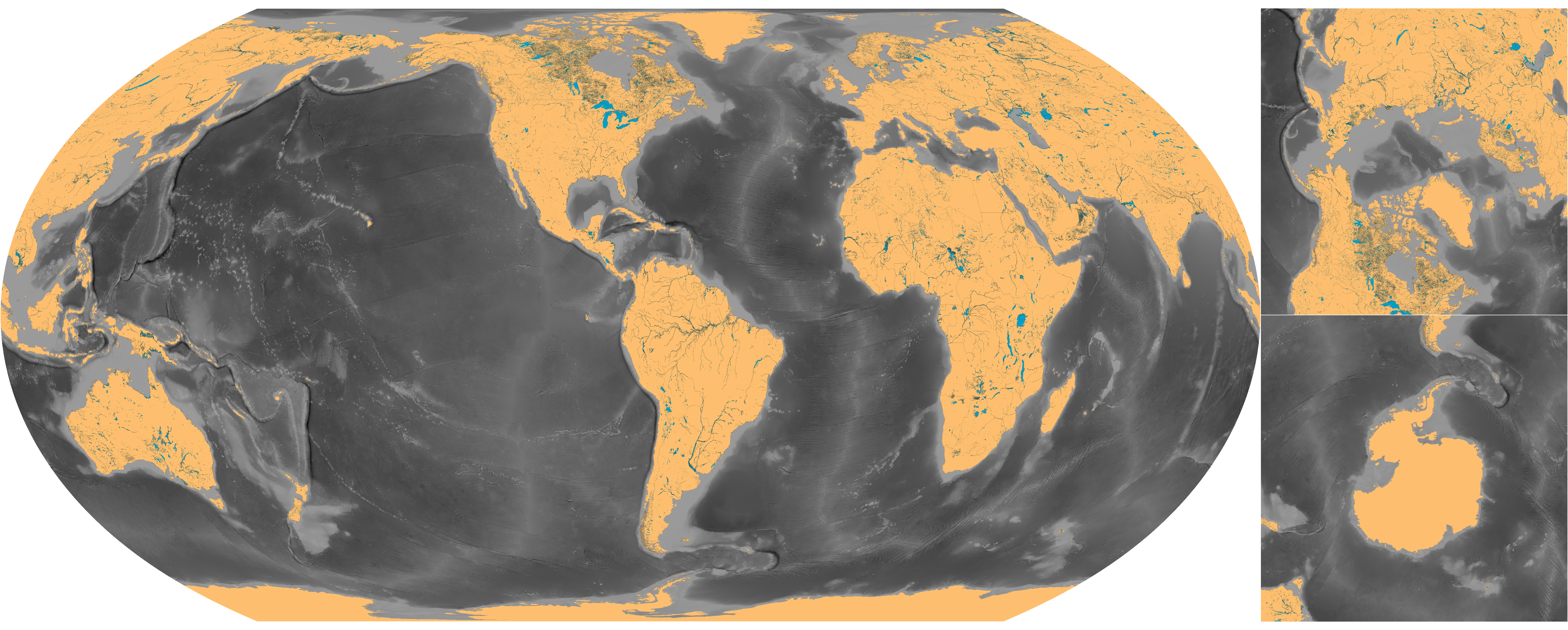
@ST15RM Since you are doing Africa and the Sahara region has a lot of dry waters, I wanted to ask you something, it would not be better instead of drawing dry lakes as an empty contour, leaving it filled with a different color from the water (with a difference between contour and filling, or not)? I did a mini-test with the Aral Sea and with the empty outline, it’s a little screw to identify things


@ST15RM Since you are doing Africa and the Sahara region has a lot of dry waters, I wanted to ask you something, it would not be better instead of drawing dry lakes as an empty contour, leaving it filled with a different color from the water (with a difference between contour and filling, or not)? I did a mini-test with the Aral Sea and with the empty outline, it’s a little screw to identify things
ST15RM
Banned
i think the last one is better imo. ill update that soon with what i have.@ST15RM Since you are doing Africa and the Sahara region has a lot of dry waters, I wanted to ask you something, it would not be better instead of drawing dry lakes as an empty contour, leaving it filled with a different color from the water (with a difference between contour and filling, or not)? I did a mini-test with the Aral Sea and with the empty outline, it’s a little screw to identify things
View attachment 522379 View attachment 522380 View attachment 522381
Share: