Thande
Donor
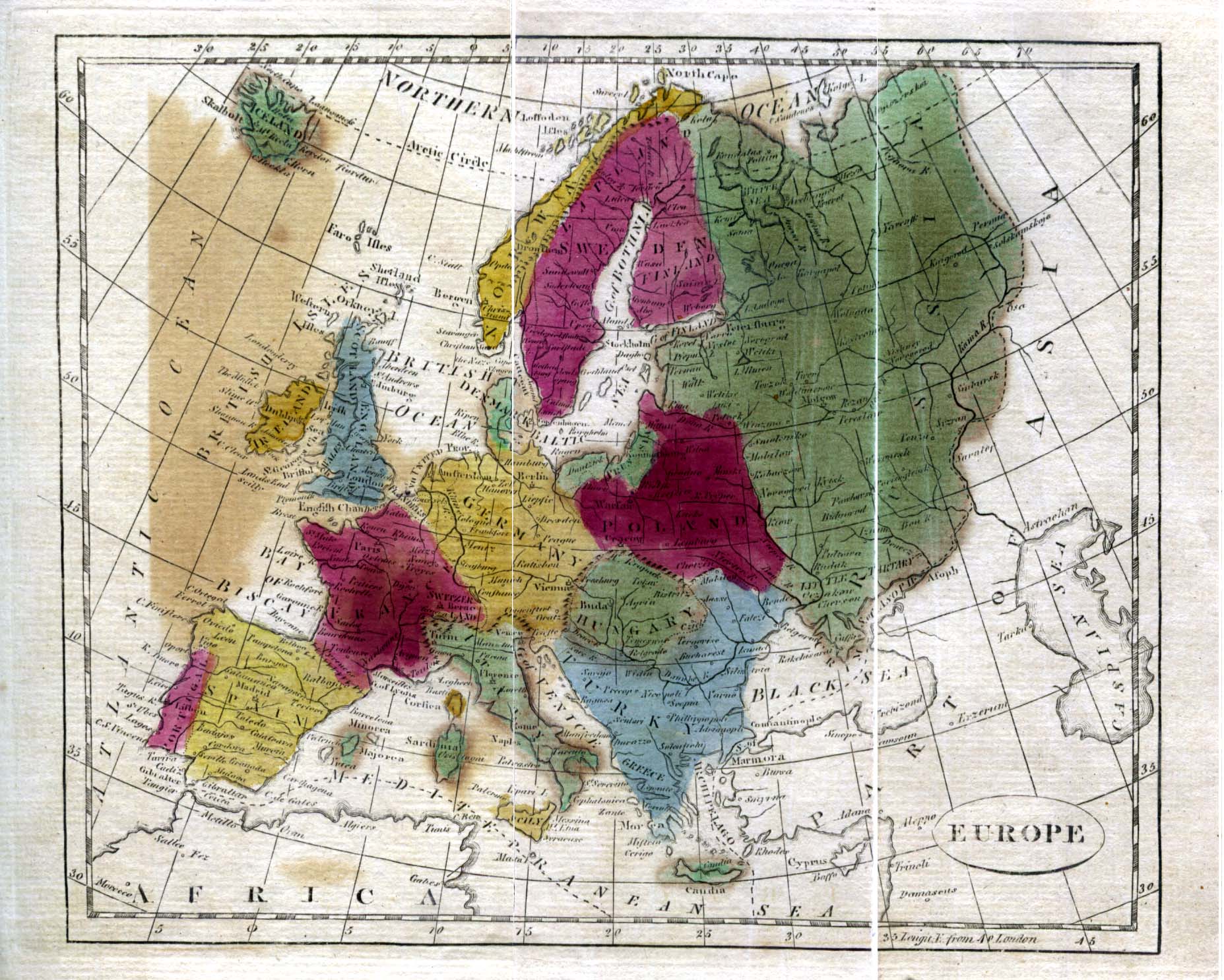
One often finds maps from the 1790s and 1800s which describe cultural/linguistic rather than politically based regions.
Some of these coincide with nation states, while others (such as 'Germany') do not.
Your challenge is to have a map like this (from 1808) reflect the political situation in Europe of, say, 1860.
Some of these coincide with nation states, while others (such as 'Germany') do not.
Your challenge is to have a map like this (from 1808) reflect the political situation in Europe of, say, 1860.